Estimated Value: $497,000 - $525,000
3
Beds
2
Baths
1,806
Sq Ft
$285/Sq Ft
Est. Value
About This Home
This home is located at 29965 Handle Rd, Yoder, CO 80864 and is currently estimated at $515,588, approximately $285 per square foot. 29965 Handle Rd is a home located in El Paso County with nearby schools including Miami/Yoder Elementary School and Miami-Yoder Middle - High School.
Ownership History
Date
Name
Owned For
Owner Type
Purchase Details
Closed on
Apr 24, 2014
Sold by
Yazzie Jeremy A
Bought by
King Daniel and King Alyssa
Current Estimated Value
Home Financials for this Owner
Home Financials are based on the most recent Mortgage that was taken out on this home.
Original Mortgage
$257,928
Outstanding Balance
$196,736
Interest Rate
4.43%
Mortgage Type
VA
Estimated Equity
$318,852
Purchase Details
Closed on
Aug 31, 2009
Sold by
Imagine Homes Llc
Bought by
Yazzie Jeremy A
Home Financials for this Owner
Home Financials are based on the most recent Mortgage that was taken out on this home.
Original Mortgage
$232,000
Interest Rate
5.16%
Mortgage Type
VA
Purchase Details
Closed on
Sep 7, 2006
Sold by
Rtm Holdings Llc
Bought by
Imagine Homes Llc
Create a Home Valuation Report for This Property
The Home Valuation Report is an in-depth analysis detailing your home's value as well as a comparison with similar homes in the area
Home Values in the Area
Average Home Value in this Area
Purchase History
| Date | Buyer | Sale Price | Title Company |
|---|---|---|---|
| King Daniel | $252,500 | North American Title | |
| Yazzie Jeremy A | $232,000 | Land Title Guarantee Company | |
| Imagine Homes Llc | -- | None Available |
Source: Public Records
Mortgage History
| Date | Status | Borrower | Loan Amount |
|---|---|---|---|
| Open | King Daniel | $257,928 | |
| Previous Owner | Yazzie Jeremy A | $232,000 |
Source: Public Records
Tax History
| Year | Tax Paid | Tax Assessment Tax Assessment Total Assessment is a certain percentage of the fair market value that is determined by local assessors to be the total taxable value of land and additions on the property. | Land | Improvement |
|---|---|---|---|---|
| 2025 | $1,182 | $33,470 | -- | -- |
| 2024 | $1,126 | $33,560 | $3,860 | $29,700 |
| 2023 | $1,126 | $33,560 | $3,860 | $29,700 |
| 2022 | $1,112 | $28,790 | $3,060 | $25,730 |
| 2021 | $1,196 | $29,620 | $3,150 | $26,470 |
| 2020 | $1,082 | $25,630 | $3,150 | $22,480 |
| 2019 | $1,103 | $25,630 | $3,150 | $22,480 |
| 2018 | $937 | $20,790 | $3,170 | $17,620 |
| 2017 | $891 | $20,790 | $3,170 | $17,620 |
| 2016 | $874 | $20,230 | $3,350 | $16,880 |
| 2015 | $875 | $20,230 | $3,350 | $16,880 |
| 2014 | $1,006 | $17,740 | $3,350 | $14,390 |
Source: Public Records
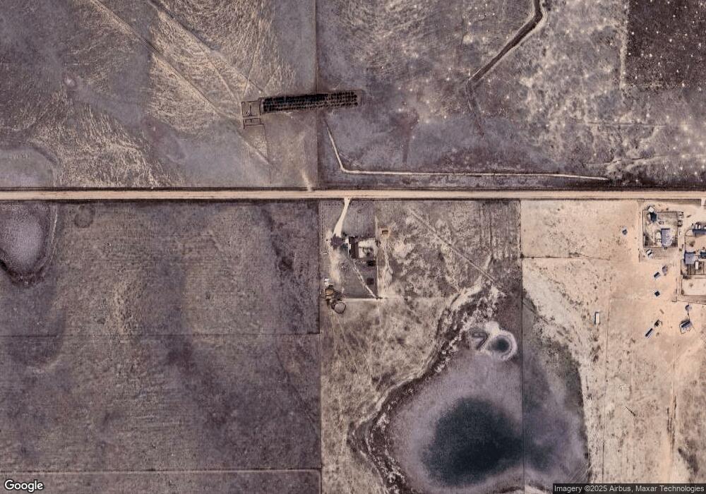
Map
Nearby Homes
- 29895 Cross Bow Ct
- 29866 Cross Bow Ct
- 29835 Cross Bow Ct
- 29805 Cross Bow Ct
- 29865 Cross Bow Ct
- 29806 Cross Bow Ct
- 251 Blue Duck Way
- 211 Blue Duck Way
- 930 Awesome View
- 755 High Prairie Point
- 29848 Lonesome Dove Ln
- 29888 Lonesome Dove Ln
- 30008 Lonesome Dove Ln
- 110 N Dinner Bell Dr
- 79 N Dinner Bell Dr
- 174 N Dinner Bell Dr
- 46 N Dinner Bell Dr
- 142 N Dinner Bell Dr
- 78 N Dinner Bell Dr
- 29808 Lonesome Dove Ln
- 30315 Handle Rd
- 810 Awesome View
- 515 High Prairie Point
- 635 High Prairie Point
- 875 High Prairie Point
- 995 High Prairie Point
- 30550 Handle Rd
- 206 N Dinner Bell Dr
- 30207 Lonesome Dove Ln
- 30167 Lonesome Dove Ln
- 30247 Lonesome Dove Ln
- 30127 Lonesome Dove Ln
- 1235 High Prairie Point
- 30208 Lonesome Dove Ln
- 30047 Lonesome Dove Ln
- 30168 Lonesome Dove Ln
- 30128 Lonesome Dove Ln
- 30088 Lonesome Dove Ln
- 30007 Lonesome Dove Ln
- 29927 Lonesome Dove Ln
Your Personal Tour Guide
Ask me questions while you tour the home.