3 Michael Townsend Ct Newark, DE 19702
Estimated Value: $495,153 - $565,000
4
Beds
3
Baths
2,364
Sq Ft
$228/Sq Ft
Est. Value
About This Home
This home is located at 3 Michael Townsend Ct, Newark, DE 19702 and is currently estimated at $538,288, approximately $227 per square foot. 3 Michael Townsend Ct is a home located in New Castle County with nearby schools including West Park Place Elementary School, Gauger-Cobbs Middle School, and Glasgow High School.
Ownership History
Date
Name
Owned For
Owner Type
Purchase Details
Closed on
Sep 18, 2002
Sold by
Muirfield Associates Llc
Bought by
Herman James M
Current Estimated Value
Home Financials for this Owner
Home Financials are based on the most recent Mortgage that was taken out on this home.
Original Mortgage
$209,950
Outstanding Balance
$88,471
Interest Rate
6.36%
Estimated Equity
$449,817
Create a Home Valuation Report for This Property
The Home Valuation Report is an in-depth analysis detailing your home's value as well as a comparison with similar homes in the area
Home Values in the Area
Average Home Value in this Area
Purchase History
| Date | Buyer | Sale Price | Title Company |
|---|---|---|---|
| Herman James M | $262,448 | -- |
Source: Public Records
Mortgage History
| Date | Status | Borrower | Loan Amount |
|---|---|---|---|
| Open | Herman James M | $209,950 | |
| Closed | Herman James M | $26,000 |
Source: Public Records
Tax History Compared to Growth
Tax History
| Year | Tax Paid | Tax Assessment Tax Assessment Total Assessment is a certain percentage of the fair market value that is determined by local assessors to be the total taxable value of land and additions on the property. | Land | Improvement |
|---|---|---|---|---|
| 2024 | $3,990 | $90,800 | $12,900 | $77,900 |
| 2023 | $3,886 | $90,800 | $12,900 | $77,900 |
| 2022 | $3,859 | $90,800 | $12,900 | $77,900 |
| 2021 | $3,777 | $90,800 | $12,900 | $77,900 |
| 2020 | $3,673 | $90,800 | $12,900 | $77,900 |
| 2019 | $3,526 | $90,800 | $12,900 | $77,900 |
| 2018 | $3,184 | $90,800 | $12,900 | $77,900 |
| 2017 | $3,075 | $90,800 | $12,900 | $77,900 |
| 2016 | $3,051 | $90,800 | $12,900 | $77,900 |
| 2015 | $2,789 | $90,800 | $12,900 | $77,900 |
| 2014 | $2,791 | $90,800 | $12,900 | $77,900 |
Source: Public Records
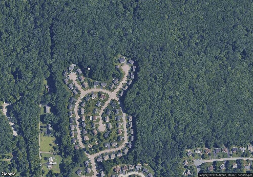
Map
Nearby Homes
- 1 Michael Townsend Ct
- 1581 Iron Hill Rd
- 1300 Waters Edge Dr Unit 1300
- 80 Welsh Tract Rd Unit 209
- 80 Welsh Tract Rd Unit 306
- 68 Welsh Tract Rd Unit 109
- 2809 Waters Edge Dr Unit 260
- 84 Welsh Tract Rd Unit 108
- 84 Welsh Tract Rd Unit 311
- 209 Waters Edge Dr Unit 20
- 1203 Independence Way Unit 6
- 107 Anita Dr
- 418 Douglas d Alley Dr
- 268 W Chestnut Hill Rd
- 37 Palo Ln
- 8 Spur Ridge Ct
- 724 Brook Dr
- 17 Oakview Dr
- 25 Glyn Dr
- 15 Charles Point
- 5 Michael Townsend Ct
- 7 Michael Townsend Ct
- 2 Michael Townsend Ct
- 58 Lynam Lookout Dr
- 9 Michael Townsend Ct
- 65 Lynam Lookout Dr
- 8 Michael Townsend Ct
- 64 Lynam Lookout Dr
- 56 Lynam Lookout Dr
- 11 Michael Townsend Ct
- 10 Michael Townsend Ct
- 5 Barbara Fleshman Ct
- 67 Lynam Lookout Dr
- 55 Lynam Lookout Dr
- 54 Lynam Lookout Dr
- 66 Lynam Lookout Dr
- 4 Barbara Fleshman Ct
- 9 Barbara Fleshman Ct
- 53 Lynam Lookout Dr
- 52 Lynam Lookout Dr