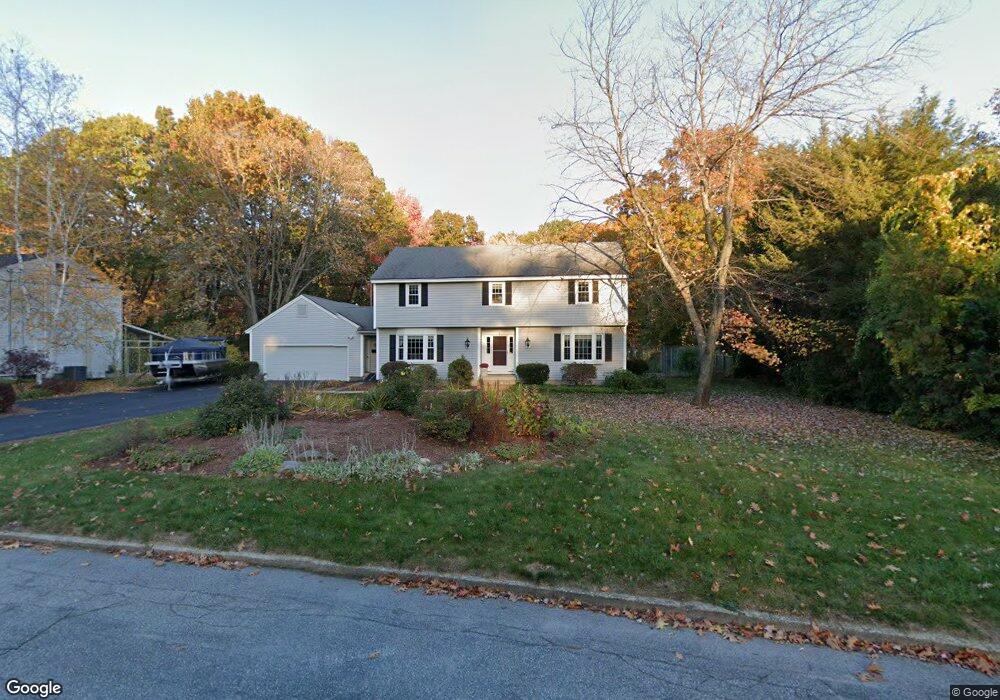
3 Vassar St Manchester, NH 03104
Estimated Value: $673,000 - $772,000
4
Beds
3
Baths
2,270
Sq Ft
$311/Sq Ft
Est. Value
About This Home
This home is located at 3 Vassar St, Manchester, NH 03104 and is currently estimated at $705,379, approximately $310 per square foot. 3 Vassar St is a home located in Hillsborough County with nearby schools including Webster School, Hillside Middle School, and Kreiva Academy Public Charter School (H).
Ownership History
Date
Name
Owned For
Owner Type
Purchase Details
Closed on
Jun 26, 2012
Sold by
Powers Sharon C
Bought by
Powers Ft and Rodriguez Catherine E
Current Estimated Value
Purchase Details
Closed on
Nov 5, 1993
Bought by
Powers Michael D
Create a Home Valuation Report for This Property
The Home Valuation Report is an in-depth analysis detailing your home's value as well as a comparison with similar homes in the area
Home Values in the Area
Average Home Value in this Area
Purchase History
| Date | Buyer | Sale Price | Title Company |
|---|---|---|---|
| Powers Ft | -- | -- | |
| Powers Michael D | $149,500 | -- |
Source: Public Records
Mortgage History
| Date | Status | Borrower | Loan Amount |
|---|---|---|---|
| Open | Powers Michael D | $200,000 | |
| Previous Owner | Powers Michael D | $38,000 | |
| Previous Owner | Powers Michael D | $123,000 |
Source: Public Records
Tax History Compared to Growth
Tax History
| Year | Tax Paid | Tax Assessment Tax Assessment Total Assessment is a certain percentage of the fair market value that is determined by local assessors to be the total taxable value of land and additions on the property. | Land | Improvement |
|---|---|---|---|---|
| 2024 | $9,118 | $465,700 | $135,800 | $329,900 |
| 2023 | $8,783 | $465,700 | $135,800 | $329,900 |
| 2022 | $8,452 | $463,400 | $135,800 | $327,600 |
| 2021 | $8,193 | $463,400 | $135,800 | $327,600 |
| 2020 | $8,301 | $336,600 | $104,900 | $231,700 |
| 2019 | $8,186 | $336,600 | $104,900 | $231,700 |
| 2018 | $7,971 | $336,600 | $104,900 | $231,700 |
| 2017 | $7,850 | $336,600 | $104,900 | $231,700 |
| 2016 | $7,789 | $336,600 | $104,900 | $231,700 |
| 2015 | $7,536 | $321,500 | $93,700 | $227,800 |
| 2014 | $7,555 | $321,500 | $93,700 | $227,800 |
| 2013 | $7,039 | $310,500 | $93,700 | $216,800 |
Source: Public Records
Map
Nearby Homes
- 212 Kearney St
- 6 Deerhead St
- 190 Chase Way
- 755 Straw Hill Rd
- 45 Leonard Ave
- 541 Pickering St
- 118 Madeline Rd
- 117 Arthur Ave
- 128 Mammoth Rd Unit 122
- 126 Mammoth Rd Unit 1
- 1515 Belmont St
- 136 Mammoth Rd Unit 628
- 29 Golden Gate Dr
- 221 Elgin Ave
- 75 W Haven Rd
- 2143 Elm St
- 2108 Elm St
- 939 Union St
- 130 Golfview Dr
- 27 Martins Ferry Rd
- 545 Kearney Cir
- 7 Vassar St
- 569 Kearney Cir
- 441 N Bend Dr
- 561 N Bend Dr
- 494 Crestview Cir
- 17 Vassar St
- 540 Kearney Cir
- 570 Kearney Cir
- Lot 73A Crestview Cir
- 415 N Bend Dr
- 440 N Bend Dr
- 446 Crestview Cir
- 35 Vassar St
- 495 Crestview Cir
- 302 Bicentennial Dr
- 590 Kearney Cir
- 300 Bicentennial Dr
- 605 Kearney Cir
- 421 N Gate Rd