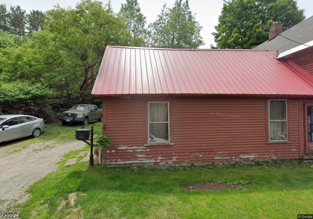
30 Laurel St Whitefield, NH 03598
Estimated Value: $130,000 - $216,000
2
Beds
1
Bath
1,630
Sq Ft
$109/Sq Ft
Est. Value
About This Home
This home is located at 30 Laurel St, Whitefield, NH 03598 and is currently estimated at $176,946, approximately $108 per square foot. 30 Laurel St is a home located in Coos County with nearby schools including Whitefield Elementary School, White Mountains Regional High School, and Easter Seal Lancaster School.
Ownership History
Date
Name
Owned For
Owner Type
Purchase Details
Closed on
May 16, 2019
Sold by
Watkins Abigail
Bought by
Watkins Abigail and Querrard Denis M
Current Estimated Value
Purchase Details
Closed on
Dec 19, 2016
Sold by
Watkins John C
Bought by
Watkins Abigail
Purchase Details
Closed on
Nov 4, 2015
Sold by
Watkins John A
Bought by
Watkins John A and Watkins Abigail
Purchase Details
Closed on
Jun 3, 2010
Sold by
Usa Va
Bought by
Watkins John A
Purchase Details
Closed on
Feb 9, 2010
Sold by
Brothers Raymond C and Wells Fargo Bank Na Tr
Bought by
Usa Va
Purchase Details
Closed on
Sep 18, 2006
Sold by
Cherubini Phyllis F
Bought by
Brothers Raymond C
Home Financials for this Owner
Home Financials are based on the most recent Mortgage that was taken out on this home.
Original Mortgage
$127,687
Interest Rate
6.71%
Mortgage Type
Purchase Money Mortgage
Create a Home Valuation Report for This Property
The Home Valuation Report is an in-depth analysis detailing your home's value as well as a comparison with similar homes in the area
Home Values in the Area
Average Home Value in this Area
Purchase History
| Date | Buyer | Sale Price | Title Company |
|---|---|---|---|
| Watkins Abigail | -- | -- | |
| Watkins Abigail | -- | -- | |
| Watkins John C | -- | -- | |
| Watkins John A | -- | -- | |
| Watkins John A | $17,300 | -- | |
| Usa Va | $69,600 | -- | |
| Brothers Raymond C | $125,000 | -- |
Source: Public Records
Mortgage History
| Date | Status | Borrower | Loan Amount |
|---|---|---|---|
| Previous Owner | Brothers Raymond C | $127,687 |
Source: Public Records
Tax History Compared to Growth
Tax History
| Year | Tax Paid | Tax Assessment Tax Assessment Total Assessment is a certain percentage of the fair market value that is determined by local assessors to be the total taxable value of land and additions on the property. | Land | Improvement |
|---|---|---|---|---|
| 2024 | $2,488 | $151,700 | $28,200 | $123,500 |
| 2023 | $2,177 | $84,100 | $11,200 | $72,900 |
| 2022 | $2,138 | $84,100 | $11,200 | $72,900 |
| 2021 | $2,150 | $84,100 | $11,200 | $72,900 |
| 2018 | $2,019 | $79,800 | $10,700 | $69,100 |
| 2016 | $1,977 | $79,800 | $10,700 | $69,100 |
| 2015 | $2,031 | $79,800 | $10,700 | $69,100 |
| 2012 | $1,766 | $86,960 | $16,000 | $70,960 |
Source: Public Records
Map
Nearby Homes
- 19 Elm St
- 0 Jefferson Rd Unit 3 5063272
- 75 Elm St
- 56 Jefferson Rd
- Lot 11 Mirror Lake Rd
- Lot 10 Mcintyre Rd
- Lot 1 Mcintyre Rd
- TBD Mcintyre Rd
- Lot 3 Mcintyre Rd
- Lot 4 Mcintyre Rd
- Lot 9 Mcintyre Rd
- Lot 8 Mcintyre Rd
- Lot 2 Mcintyre Rd
- 4 Ridgeview Terrace
- 285 Lancaster Rd
- 125 Parker Rd
- 235 Lancaster Rd Unit 5
- 237 Lancaster Rd Unit 1
- 237 Lancaster Rd
- 0 White Rd Unit 86 4954451