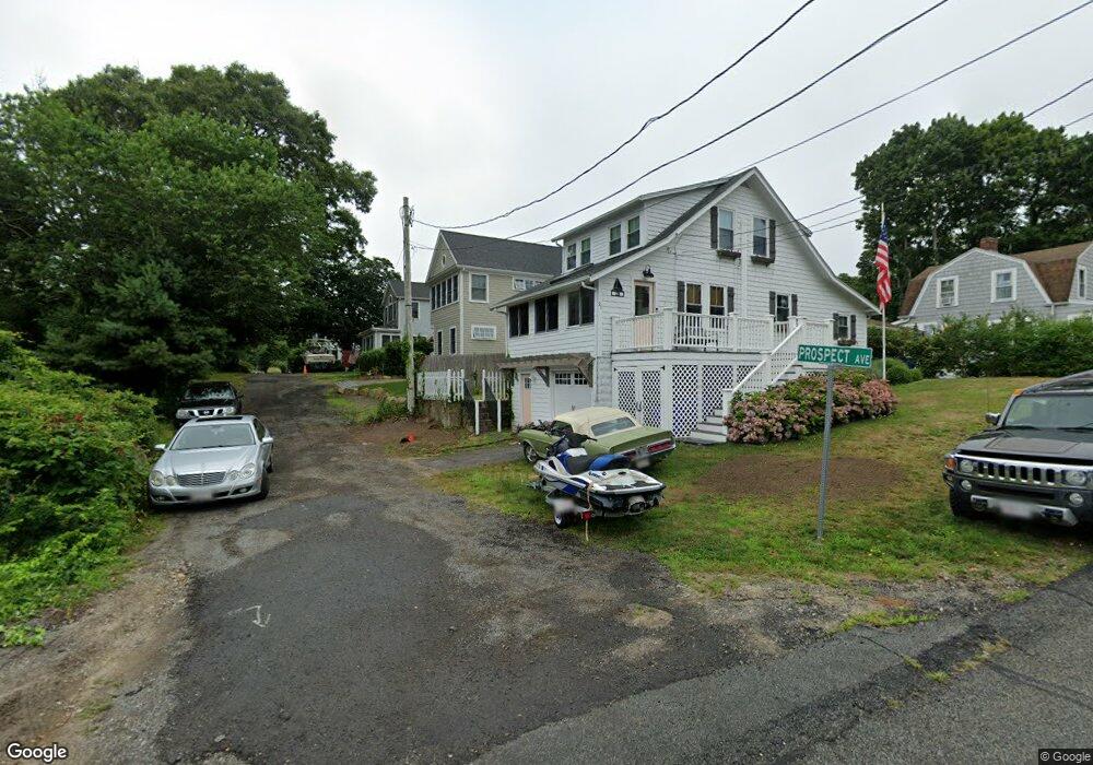
30 Prospect Ave Pocasset, MA 02559
Pocasset NeighborhoodEstimated Value: $739,000 - $882,000
2
Beds
2
Baths
1,356
Sq Ft
$598/Sq Ft
Est. Value
About This Home
This home is located at 30 Prospect Ave, Pocasset, MA 02559 and is currently estimated at $811,476, approximately $598 per square foot. 30 Prospect Ave is a home located in Barnstable County with nearby schools including Bourne High School, Cadence Academy Preschool - Bourne, and Heritage Christian Academy.
Ownership History
Date
Name
Owned For
Owner Type
Purchase Details
Closed on
Sep 23, 2002
Sold by
Lacasse Pauline E and Lacasse Norman J
Bought by
Lacasse Norman J and Lacsse Eileen M
Current Estimated Value
Home Financials for this Owner
Home Financials are based on the most recent Mortgage that was taken out on this home.
Original Mortgage
$120,000
Outstanding Balance
$50,567
Interest Rate
6.36%
Mortgage Type
Purchase Money Mortgage
Estimated Equity
$760,909
Create a Home Valuation Report for This Property
The Home Valuation Report is an in-depth analysis detailing your home's value as well as a comparison with similar homes in the area
Home Values in the Area
Average Home Value in this Area
Purchase History
| Date | Buyer | Sale Price | Title Company |
|---|---|---|---|
| Lacasse Norman J | $160,000 | -- | |
| Lacasse Norman J | $160,000 | -- |
Source: Public Records
Mortgage History
| Date | Status | Borrower | Loan Amount |
|---|---|---|---|
| Open | Lacasse Norman J | $120,000 | |
| Closed | Lacasse Norman J | $120,000 |
Source: Public Records
Tax History
| Year | Tax Paid | Tax Assessment Tax Assessment Total Assessment is a certain percentage of the fair market value that is determined by local assessors to be the total taxable value of land and additions on the property. | Land | Improvement |
|---|---|---|---|---|
| 2025 | $5,838 | $747,500 | $373,000 | $374,500 |
| 2024 | $5,475 | $682,700 | $355,200 | $327,500 |
| 2023 | $5,327 | $604,700 | $314,400 | $290,300 |
| 2022 | $4,820 | $477,700 | $246,600 | $231,100 |
| 2021 | $4,381 | $406,800 | $224,400 | $182,400 |
| 2020 | $3,373 | $314,100 | $222,300 | $91,800 |
| 2019 | $3,250 | $309,200 | $222,300 | $86,900 |
| 2018 | $3,164 | $300,200 | $217,200 | $83,000 |
| 2017 | $3,062 | $297,300 | $215,100 | $82,200 |
| 2016 | $2,759 | $271,600 | $204,400 | $67,200 |
| 2015 | $2,572 | $255,400 | $188,200 | $67,200 |
Source: Public Records
Map
Nearby Homes
- 1090 Shore Rd Unit 7
- 16 Michael Rd
- 48 Red Brook Harbor Rd
- 254 Barlows Landing Rd
- 709 County Rd
- 3 4th Ave
- 7 4th Ave
- 14 Navajo Rd
- 3 1st St
- 1234 Route 28a
- 1234 Route 28a
- 75 Winsor Rd
- 15 Oak Ave
- 566 Shore Rd
- 31 Baxendale Rd
- 20 Colony Ave
- 289 Old Main Rd
- 28 Nathan Ellis Hwy
- 5 Harbor Hill Dr
- 4 Harbor Hill Dr
Your Personal Tour Guide
Ask me questions while you tour the home.