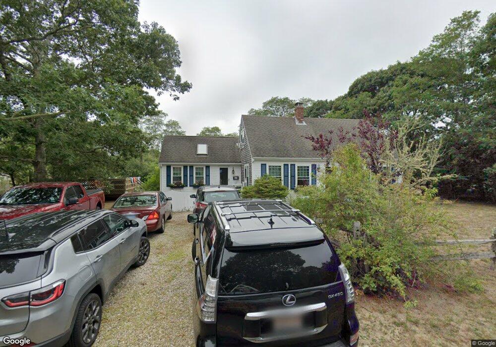
30 Toland Dr Eastham, MA 02642
Estimated Value: $676,000 - $789,849
3
Beds
1
Bath
1,472
Sq Ft
$506/Sq Ft
Est. Value
About This Home
This home is located at 30 Toland Dr, Eastham, MA 02642 and is currently estimated at $744,212, approximately $505 per square foot. 30 Toland Dr is a home located in Barnstable County with nearby schools including Eastham Elementary School, Nauset Regional Middle School, and Nauset Regional High School.
Ownership History
Date
Name
Owned For
Owner Type
Purchase Details
Closed on
Jun 18, 2010
Sold by
Mitchell Denise and Lakus Pamela S
Bought by
Mitchell Denise and Lakus Pamela S
Current Estimated Value
Purchase Details
Closed on
Mar 15, 2010
Sold by
Kelly Michael W
Bought by
Deutsche Bank Natl T C
Create a Home Valuation Report for This Property
The Home Valuation Report is an in-depth analysis detailing your home's value as well as a comparison with similar homes in the area
Home Values in the Area
Average Home Value in this Area
Purchase History
| Date | Buyer | Sale Price | Title Company |
|---|---|---|---|
| Mitchell Denise | -- | -- | |
| Mitchell Denise | $290,000 | -- | |
| Deutsche Bank Natl T C | $295,000 | -- |
Source: Public Records
Tax History
| Year | Tax Paid | Tax Assessment Tax Assessment Total Assessment is a certain percentage of the fair market value that is determined by local assessors to be the total taxable value of land and additions on the property. | Land | Improvement |
|---|---|---|---|---|
| 2025 | $4,968 | $644,300 | $268,900 | $375,400 |
| 2024 | $4,419 | $630,400 | $261,100 | $369,300 |
| 2023 | $4,073 | $562,600 | $241,800 | $320,800 |
| 2022 | $3,844 | $448,000 | $215,900 | $232,100 |
| 2021 | $3,738 | $407,200 | $196,200 | $211,000 |
| 2020 | $3,471 | $398,000 | $200,300 | $197,700 |
| 2019 | $3,208 | $388,900 | $194,400 | $194,500 |
| 2018 | $3,154 | $377,700 | $188,800 | $188,900 |
| 2017 | $2,925 | $370,300 | $185,100 | $185,200 |
| 2016 | $2,541 | $341,500 | $157,300 | $184,200 |
| 2015 | $2,366 | $333,200 | $154,200 | $179,000 |
Source: Public Records
Map
Nearby Homes
- 115 Wamsutta Rd
- 495 Aspinet Rd
- 18 Jay Dee Ln
- 80 Quason Dr
- 5470 State Hwy
- 100 Gigi Ln
- 35 Wiley Ln
- 20 Oak Rd
- 49 Village Ln
- 255 Epanow Rd
- 340 Salt Works Rd
- 46 Spring Brook Rd
- 255 Massasoit Rd
- 65 Harmes Way
- 85 Huckleberry Ln
- 82 Old Orchard Rd
- 157 Brownell Rd
- 600 Kingsbury Beach Rd
- 245 Nauset Light Beach Rd
- 245 Nauset Light Rd Unit R
- 50 Toland Dr
- 25 Toland Dr
- 280 Aspinet Rd
- 45 Toland Dr
- 260 Aspinet Rd
- 315 Aspinet Rd
- 2 Lamprey Ln
- 300 Aspinet Rd
- 80 Toland Dr
- 3 Striper Ave
- 215 Aspinet Rd
- 40 Wamsutta Rd
- 25 N Sunken Meadow Rd
- 30 Devon Ln
- 4 Lamprey Ln
- 130 Toland Dr
- 55 N Sunken Meadow Rd
- 25 Wamsutta Rd
- 75 N Sunken Meadow Rd
- 60 Devon Ln
Your Personal Tour Guide
Ask me questions while you tour the home.