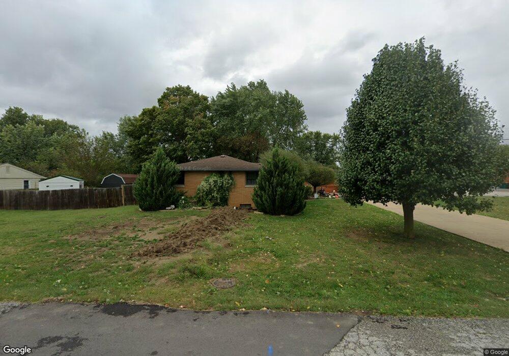
302 Lawndale Dr Plainfield, IN 46168
Estimated Value: $258,000 - $320,538
3
Beds
2
Baths
2,736
Sq Ft
$105/Sq Ft
Est. Value
About This Home
This home is located at 302 Lawndale Dr, Plainfield, IN 46168 and is currently estimated at $287,635, approximately $105 per square foot. 302 Lawndale Dr is a home located in Hendricks County with nearby schools including Brentwood Elementary School, Plainfield Community Middle School, and Plainfield High School.
Ownership History
Date
Name
Owned For
Owner Type
Purchase Details
Closed on
Sep 15, 2023
Sold by
Earles Sherry
Bought by
Earles Sherry and Earles Kent D
Current Estimated Value
Home Financials for this Owner
Home Financials are based on the most recent Mortgage that was taken out on this home.
Original Mortgage
$52,250
Outstanding Balance
$48,798
Interest Rate
6.96%
Mortgage Type
New Conventional
Estimated Equity
$238,837
Purchase Details
Closed on
Apr 1, 2020
Sold by
Stanley Harold W
Bought by
Earles Sherry
Home Financials for this Owner
Home Financials are based on the most recent Mortgage that was taken out on this home.
Original Mortgage
$175,750
Interest Rate
3.2%
Mortgage Type
New Conventional
Purchase Details
Closed on
Mar 13, 2008
Sold by
Brown Mark A
Bought by
Stanley Harold W
Create a Home Valuation Report for This Property
The Home Valuation Report is an in-depth analysis detailing your home's value as well as a comparison with similar homes in the area
Home Values in the Area
Average Home Value in this Area
Purchase History
| Date | Buyer | Sale Price | Title Company |
|---|---|---|---|
| Earles Sherry | -- | None Listed On Document | |
| Earles Sherry | $185,000 | Abstract & Title | |
| Stanley Harold W | -- | None Available |
Source: Public Records
Mortgage History
| Date | Status | Borrower | Loan Amount |
|---|---|---|---|
| Open | Earles Sherry | $52,250 | |
| Previous Owner | Earles Sherry | $175,750 |
Source: Public Records
Tax History Compared to Growth
Tax History
| Year | Tax Paid | Tax Assessment Tax Assessment Total Assessment is a certain percentage of the fair market value that is determined by local assessors to be the total taxable value of land and additions on the property. | Land | Improvement |
|---|---|---|---|---|
| 2024 | $2,303 | $251,800 | $47,500 | $204,300 |
| 2023 | $2,133 | $239,700 | $45,200 | $194,500 |
| 2022 | $2,196 | $228,000 | $43,000 | $185,000 |
| 2021 | $1,880 | $198,900 | $40,200 | $158,700 |
| 2020 | $2,343 | $235,300 | $55,800 | $179,500 |
| 2019 | $1,866 | $93,300 | $21,700 | $71,600 |
| 2018 | $1,648 | $82,400 | $22,600 | $59,800 |
| 2017 | $1,648 | $82,400 | $25,800 | $56,600 |
| 2016 | $1,648 | $82,400 | $26,700 | $55,700 |
| 2014 | $1,648 | $82,400 | $25,900 | $56,500 |
Source: Public Records
Map
Nearby Homes
- 210 Kentucky Ave
- 309 Duffey St
- 59 Elm Dr
- 628 Gibbs Ct
- 645 Masten St
- 1713 Sycamore Dr
- 416 Linden Ln
- 980 Andico Rd
- 60 Pike Place
- 800 Walton Dr
- 504 Magnolia Dr
- 2000 Hawthorne Dr
- 904 Brendon Dr
- 2394 Eagle Ave
- 2198 Galleone Way
- 2686 Prism Way
- 100 Lincoln St
- 225 N Center St
- 147 N Center St
- 325 N Center St
- 314 Lawndale Dr
- 1215 E Buchanan St
- 1303 E Buchanan St
- 316 Lawndale Dr
- 1317 Aubert St
- 1207 E Buchanan St
- 1208 E Buchanan St
- 1309 E Buchanan St
- 320 Lawndale Dr
- 317 Lawndale Dr
- 207 Kentucky Ave
- 1201 E Buchanan St
- 203 Kentucky Ave
- 321 Lawndale Dr
- 324 Lawndale Dr
- 1302 E Buchanan St
- 1339 Aubert St
- 201 Kentucky Ave
- 226 Southmore St
- 312 Southmore St