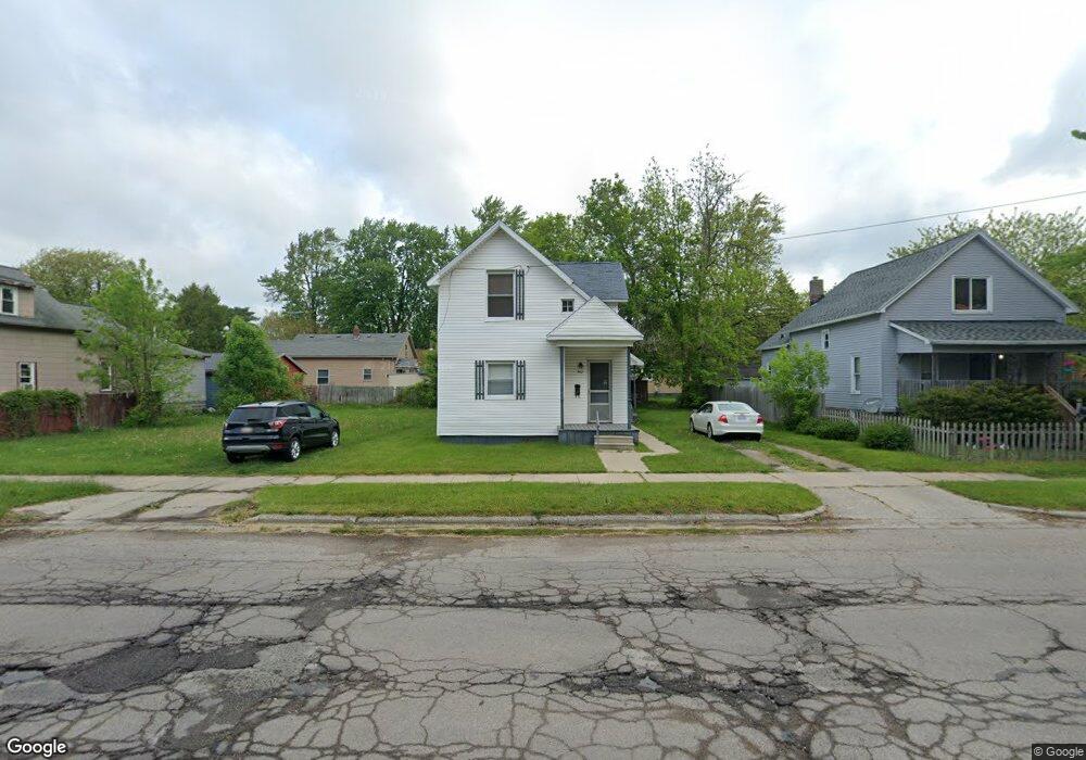
302 W Hart St Bay City, MI 48706
Estimated Value: $68,000 - $120,000
3
Beds
1
Bath
1,542
Sq Ft
$61/Sq Ft
Est. Value
About This Home
This home is located at 302 W Hart St, Bay City, MI 48706 and is currently estimated at $93,687, approximately $60 per square foot. 302 W Hart St is a home located in Bay County with nearby schools including Linsday Elementary School, Handy Middle School, and Bay City Central High School.
Ownership History
Date
Name
Owned For
Owner Type
Purchase Details
Closed on
Aug 25, 2017
Sold by
Beller Fred L
Bought by
Scott Lauren
Current Estimated Value
Home Financials for this Owner
Home Financials are based on the most recent Mortgage that was taken out on this home.
Original Mortgage
$32,451
Outstanding Balance
$27,142
Interest Rate
3.96%
Mortgage Type
FHA
Estimated Equity
$66,545
Purchase Details
Closed on
Oct 14, 1998
Sold by
Cosens Gerald C and Cosens Suzanne H
Bought by
Beller Fred L
Create a Home Valuation Report for This Property
The Home Valuation Report is an in-depth analysis detailing your home's value as well as a comparison with similar homes in the area
Home Values in the Area
Average Home Value in this Area
Purchase History
| Date | Buyer | Sale Price | Title Company |
|---|---|---|---|
| Scott Lauren | $33,050 | None Available | |
| Beller Fred L | $22,000 | -- |
Source: Public Records
Mortgage History
| Date | Status | Borrower | Loan Amount |
|---|---|---|---|
| Open | Scott Lauren | $32,451 |
Source: Public Records
Tax History Compared to Growth
Tax History
| Year | Tax Paid | Tax Assessment Tax Assessment Total Assessment is a certain percentage of the fair market value that is determined by local assessors to be the total taxable value of land and additions on the property. | Land | Improvement |
|---|---|---|---|---|
| 2025 | $1,319 | $42,950 | $0 | $0 |
| 2024 | $1,085 | $38,250 | $0 | $0 |
| 2023 | $1,033 | $32,600 | $0 | $0 |
| 2022 | $1,187 | $29,400 | $0 | $0 |
| 2021 | $1,116 | $27,600 | $27,600 | $0 |
| 2020 | $1,187 | $24,900 | $24,900 | $0 |
| 2019 | $1,161 | $24,250 | $0 | $0 |
| 2018 | $1,149 | $23,400 | $0 | $0 |
| 2017 | $984 | $23,650 | $0 | $0 |
| 2016 | $978 | $23,800 | $0 | $23,800 |
| 2015 | $951 | $19,600 | $0 | $19,600 |
| 2014 | $951 | $15,150 | $0 | $15,150 |
Source: Public Records
Map
Nearby Homes
- 1012 Litchfield St
- 307 Mosher St
- 900 E Fulton St
- 902 Litchfield St
- 403 State St
- 204 Elm St
- 203 Elm St
- 1106 State St
- 706 N Linn St
- 208 State St
- 117 E Smith St
- 1000 E Florence St
- 1005 N Wenona Ave
- 305 Marston St
- 609 N Henry St
- 17 Cove Dr
- 604 N Catherine St
- 507 Litchfield St
- 506 N Catherine St
- 607 N Dewitt St
- 304 W Hart St
- 300 W Hart St
- 306 W Hart St
- 1104 N Walnut St
- 1107 Litchfield St
- 1106 N Walnut St
- 1016 N Walnut St
- 1013 Litchfield St
- 1108 N Walnut St
- 1106 Litchfield St
- 1014 N Walnut St
- 1111 Litchfield St
- 1103 N Walnut St
- 1110 N Walnut St
- 1016 Litchfield St
- 1012 N Walnut St
- 1105 N Walnut St
- 1110 Litchfield St
- 1107 N Walnut St
- 1015 N Walnut St