3051 Danforth Path Red Wing, MN 55066
Estimated Value: $233,204 - $279,000
2
Beds
2
Baths
1,244
Sq Ft
$203/Sq Ft
Est. Value
About This Home
This home is located at 3051 Danforth Path, Red Wing, MN 55066 and is currently estimated at $252,801, approximately $203 per square foot. 3051 Danforth Path is a home located in Goodhue County with nearby schools including Burnside Elementary School, Sunnyside Elementary School, and Twin Bluff Middle School.
Ownership History
Date
Name
Owned For
Owner Type
Purchase Details
Closed on
Oct 18, 2016
Sold by
Federal National Mortgage Association
Bought by
Langhans Mary J and Langhans Robert L
Current Estimated Value
Purchase Details
Closed on
Oct 14, 2016
Bought by
Langhans Mary Mary
Purchase Details
Closed on
Jan 13, 2016
Sold by
Mers Inc
Bought by
Federal National Mortgage Association
Purchase Details
Closed on
Jun 14, 2007
Sold by
Mw Johnson Construction
Bought by
Doerr Judy
Create a Home Valuation Report for This Property
The Home Valuation Report is an in-depth analysis detailing your home's value as well as a comparison with similar homes in the area
Home Values in the Area
Average Home Value in this Area
Purchase History
| Date | Buyer | Sale Price | Title Company |
|---|---|---|---|
| Langhans Mary J | -- | Attorney | |
| Langhans Mary Mary | $155,900 | -- | |
| Federal National Mortgage Association | -- | None Available | |
| Doerr Judy | $192,000 | -- |
Source: Public Records
Mortgage History
| Date | Status | Borrower | Loan Amount |
|---|---|---|---|
| Closed | Federal National Mortgage Association | -- |
Source: Public Records
Tax History
| Year | Tax Paid | Tax Assessment Tax Assessment Total Assessment is a certain percentage of the fair market value that is determined by local assessors to be the total taxable value of land and additions on the property. | Land | Improvement |
|---|---|---|---|---|
| 2025 | $2,678 | $224,400 | $31,200 | $193,200 |
| 2024 | -- | $220,900 | $31,200 | $189,700 |
| 2023 | $2,566 | $208,800 | $31,200 | $177,600 |
| 2022 | $2,324 | $205,200 | $29,000 | $176,200 |
| 2021 | $2,106 | $173,700 | $29,000 | $144,700 |
| 2020 | $2,054 | $161,600 | $29,000 | $132,600 |
| 2019 | $2,062 | $149,300 | $29,000 | $120,300 |
| 2018 | $1,504 | $151,200 | $29,000 | $122,200 |
| 2017 | $1,456 | $125,000 | $22,300 | $102,700 |
| 2016 | $1,322 | $123,100 | $22,300 | $100,800 |
| 2015 | $1,256 | $118,600 | $22,300 | $96,300 |
| 2014 | -- | $113,300 | $22,300 | $91,000 |
Source: Public Records
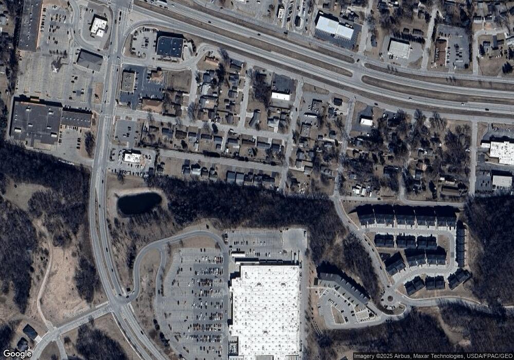
Map
Nearby Homes
- 113 Burnside Ave S
- 128 Charles Ave
- 131 Rose Ave
- 186 Sargent Dr
- 3560 Graves Dr
- 3429 Helen Ln
- 3557 Skyline Dr
- 2773 Ridgeview Dr
- 1125 Hewitt Blvd
- 1181 Hewitt Blvd
- 430 Harrison St
- 1815 Grandview Ave
- 1758 W 5th St
- 1738 W 6th St
- 717 Blaine St
- 1330 Hillside Dr
- 1348 Hillside Dr
- 1715 W 5th St
- 1528 W 6th St
- 1828 Perlich Ave Unit 2G
- 3063 Danforth Path
- 158 Danforth Ave S
- 3075 Danforth Path
- 3087 Danforth Path
- 3045 Lawrence St
- 3095 Danforth Path
- 3053 Lawrence St
- 3037 Lawrence St
- 157 Danforth Ave S
- 3103 Lawrence St
- 3107 Danforth Path
- 145 Danforth Ave N
- 145 Danforth Ave S
- 3115 Danforth Path
- 139 Danforth Ave S
- 3111 Lawrence St
- 3127 Danforth Path
- 133 Danforth Ave S
- 3119 Danforth Path
- 3040 Lawrence St
Your Personal Tour Guide
Ask me questions while you tour the home.