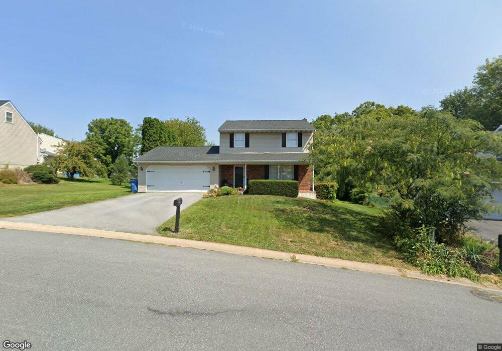
3055 Todd Ln Lancaster, PA 17601
Oyster Point NeighborhoodEstimated Value: $362,574 - $399,000
3
Beds
1
Bath
1,366
Sq Ft
$277/Sq Ft
Est. Value
About This Home
This home is located at 3055 Todd Ln, Lancaster, PA 17601 and is currently estimated at $378,394, approximately $277 per square foot. 3055 Todd Ln is a home located in Lancaster County with nearby schools including Landisville Primary Center, Landisville Middle School, and Hempfield High School.
Ownership History
Date
Name
Owned For
Owner Type
Purchase Details
Closed on
Jul 26, 2021
Sold by
Koller Bradley A
Bought by
Koller Bradley A and Line Koller Yvette
Current Estimated Value
Home Financials for this Owner
Home Financials are based on the most recent Mortgage that was taken out on this home.
Original Mortgage
$207,600
Interest Rate
2.2%
Mortgage Type
New Conventional
Purchase Details
Closed on
Sep 27, 2001
Sold by
Bear Michael P and Bear Jennifer L
Bought by
Koller Bradley A
Home Financials for this Owner
Home Financials are based on the most recent Mortgage that was taken out on this home.
Original Mortgage
$132,812
Interest Rate
6.91%
Create a Home Valuation Report for This Property
The Home Valuation Report is an in-depth analysis detailing your home's value as well as a comparison with similar homes in the area
Home Values in the Area
Average Home Value in this Area
Purchase History
| Date | Buyer | Sale Price | Title Company |
|---|---|---|---|
| Koller Bradley A | -- | Mortgage Connect Lp | |
| Koller Bradley A | $133,900 | -- |
Source: Public Records
Mortgage History
| Date | Status | Borrower | Loan Amount |
|---|---|---|---|
| Closed | Koller Bradley A | $207,600 | |
| Closed | Koller Bradley A | $132,812 |
Source: Public Records
Tax History
| Year | Tax Paid | Tax Assessment Tax Assessment Total Assessment is a certain percentage of the fair market value that is determined by local assessors to be the total taxable value of land and additions on the property. | Land | Improvement |
|---|---|---|---|---|
| 2025 | $4,690 | $208,000 | $65,600 | $142,400 |
| 2024 | $4,690 | $208,000 | $65,600 | $142,400 |
| 2023 | $4,601 | $208,000 | $65,600 | $142,400 |
| 2022 | $4,479 | $208,000 | $65,600 | $142,400 |
| 2021 | $4,391 | $208,000 | $65,600 | $142,400 |
| 2020 | $4,391 | $208,000 | $65,600 | $142,400 |
| 2019 | $4,319 | $208,000 | $65,600 | $142,400 |
| 2018 | $907 | $208,000 | $65,600 | $142,400 |
| 2017 | $4,085 | $158,900 | $43,700 | $115,200 |
| 2016 | $4,004 | $158,900 | $43,700 | $115,200 |
| 2015 | $806 | $158,900 | $43,700 | $115,200 |
| 2014 | $2,968 | $158,900 | $43,700 | $115,200 |
Source: Public Records
Map
Nearby Homes
- 825 Robin Rd
- 900 Cardinal Rd
- 8 Madge Dr
- 3301 Marietta Ave
- 204 Post Oak Rd
- 2808 Spring Valley Rd
- 86 Village Dr
- 319 Druid Hill Rd
- 2816 Mimosa Ln Unit 33
- 2842 Wimbledon Ln
- 906 Snapper Dam Rd
- 3710 Little Mac Dr
- 26 E Main St
- 2707 Kimberly Rd
- 3481 Coronet Ave
- 3242 Elmae Dr
- 107 Treetops Dr
- 16 Cedar Chase Dr
- 214 Winding Hill Dr
- 123 Pinnacle Point Dr
Your Personal Tour Guide
Ask me questions while you tour the home.