3071 Yorkshire Dr Bay City, MI 48706
Estimated Value: $161,000 - $200,000
3
Beds
2
Baths
1,075
Sq Ft
$172/Sq Ft
Est. Value
About This Home
This home is located at 3071 Yorkshire Dr, Bay City, MI 48706 and is currently estimated at $185,388, approximately $172 per square foot. 3071 Yorkshire Dr is a home located in Bay County with nearby schools including John Glenn High School, State Street Academy, and Faith Lutheran School.
Ownership History
Date
Name
Owned For
Owner Type
Purchase Details
Closed on
Jan 31, 2024
Sold by
Lewis Michael Gordon and Vos Jean Marie
Bought by
Frost Karen L
Current Estimated Value
Purchase Details
Closed on
Feb 17, 2016
Sold by
Lewis Gordon Charles and Lewis Betty Jane
Bought by
Lewis Michael Gordon and Vos Jean Marie
Purchase Details
Closed on
Sep 15, 2005
Sold by
Anderson Dennis M and Anderson Linda A
Bought by
Lewis Gordon and Lewis Betty
Purchase Details
Closed on
Aug 1, 2001
Sold by
Carter Carolyn A
Bought by
Anderson Dennis M and Anderson Linda A
Purchase Details
Closed on
Jun 16, 1989
Sold by
Carter David B
Bought by
Carter Carolyn
Create a Home Valuation Report for This Property
The Home Valuation Report is an in-depth analysis detailing your home's value as well as a comparison with similar homes in the area
Home Values in the Area
Average Home Value in this Area
Purchase History
| Date | Buyer | Sale Price | Title Company |
|---|---|---|---|
| Frost Karen L | $147,000 | United Title Services | |
| Lewis Michael Gordon | -- | None Listed On Document | |
| Lewis Gordon | $110,000 | -- | |
| Anderson Dennis M | $94,000 | -- | |
| Carter Carolyn | -- | -- |
Source: Public Records
Tax History Compared to Growth
Tax History
| Year | Tax Paid | Tax Assessment Tax Assessment Total Assessment is a certain percentage of the fair market value that is determined by local assessors to be the total taxable value of land and additions on the property. | Land | Improvement |
|---|---|---|---|---|
| 2025 | $1,984 | $79,900 | $0 | $0 |
| 2024 | $1,085 | $70,550 | $0 | $0 |
| 2023 | $999 | $63,150 | $0 | $0 |
| 2022 | $1,684 | $57,500 | $0 | $0 |
| 2021 | $1,575 | $54,100 | $54,100 | $0 |
| 2020 | $1,540 | $51,300 | $51,300 | $0 |
| 2019 | $1,477 | $47,550 | $0 | $0 |
| 2018 | $1,437 | $43,250 | $0 | $0 |
| 2017 | $1,348 | $43,950 | $0 | $0 |
| 2016 | $1,349 | $42,950 | $0 | $42,950 |
| 2015 | -- | $41,650 | $0 | $41,650 |
| 2014 | -- | $39,100 | $0 | $39,100 |
Source: Public Records
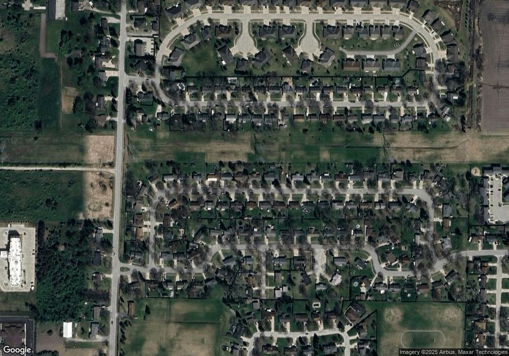
Map
Nearby Homes
- 3868 2 Mile Rd
- 3112 Gaslight Unit 48 Dr
- 3112 Gaslight Dr
- 3077 Glenway Place
- 3322 Birchbrook Dr
- 3425 Win Kae Place
- 3226 Kiesel Rd
- 3536 Wheeler Rd
- 3322 Old Kawkawlin Rd
- 4464 W Park Dr
- 3344 N Euclid Ave
- 714 Frost Dr
- 23 Old Kawkawlin Rd
- 25 State Park Dr
- 4543 Westfield Ct
- 1707 N Henry St
- 0 Michigan Unit 50188067
- 0 Michigan Unit 50188064
- 538 Handy Dr
- 1005 N Wenona Ave
- 3063 Yorkshire Dr
- 3070 Yorkshire Dr
- 3079 Yorkshire Dr
- 3076 Yorkshire Dr
- 3062 Yorkshire Dr
- 3055 Yorkshire Dr
- 3084 Yorkshire Dr
- 3054 Yorkshire Dr
- 3049 Yorkshire Dr
- 3093 Yorkshire Dr
- 3092 Yorkshire Dr
- 3067 Canterbury Dr
- 3083 Canterbury Dr
- 3048 Yorkshire Dr
- 3061 Canterbury Dr
- 3075 Canterbury Dr
- 3041 Yorkshire Dr
- 3091 Canterbury Dr
- 3101 Yorkshire Dr
- 3053 Canterbury Dr