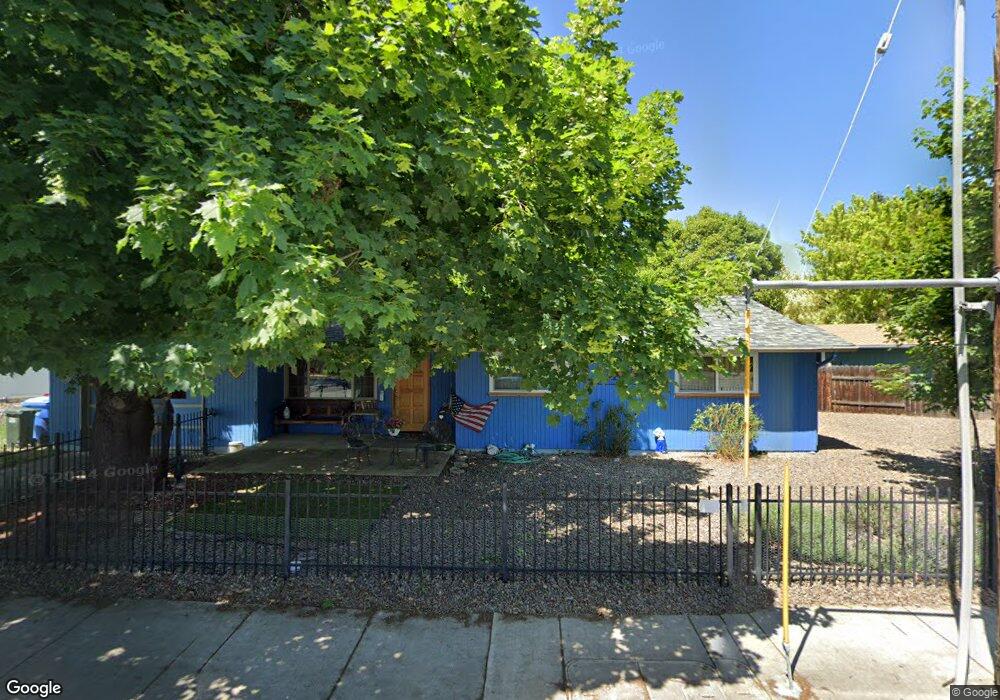
308 Linn Rd Eagle Point, OR 97524
Estimated Value: $304,000 - $338,000
3
Beds
2
Baths
1,144
Sq Ft
$281/Sq Ft
Est. Value
About This Home
This home is located at 308 Linn Rd, Eagle Point, OR 97524 and is currently estimated at $321,034, approximately $280 per square foot. 308 Linn Rd is a home located in Jackson County with nearby schools including Eagle Rock Elementary School, Eagle Point Middle School, and White Mountain Middle School.
Ownership History
Date
Name
Owned For
Owner Type
Purchase Details
Closed on
Aug 24, 2023
Sold by
Oyler Candy Susan
Bought by
Candy Oyler Trust and Oyler
Current Estimated Value
Purchase Details
Closed on
Mar 12, 1998
Sold by
Loper Lili A
Bought by
Depriest Candy Susan
Home Financials for this Owner
Home Financials are based on the most recent Mortgage that was taken out on this home.
Original Mortgage
$80,086
Interest Rate
7.11%
Create a Home Valuation Report for This Property
The Home Valuation Report is an in-depth analysis detailing your home's value as well as a comparison with similar homes in the area
Home Values in the Area
Average Home Value in this Area
Purchase History
| Date | Buyer | Sale Price | Title Company |
|---|---|---|---|
| Candy Oyler Trust | -- | None Listed On Document | |
| Depriest Candy Susan | $74,000 | Crater Title Insurance |
Source: Public Records
Mortgage History
| Date | Status | Borrower | Loan Amount |
|---|---|---|---|
| Previous Owner | Depriest Candy Susan | $80,086 |
Source: Public Records
Tax History
| Year | Tax Paid | Tax Assessment Tax Assessment Total Assessment is a certain percentage of the fair market value that is determined by local assessors to be the total taxable value of land and additions on the property. | Land | Improvement |
|---|---|---|---|---|
| 2026 | $1,912 | $140,500 | -- | -- |
| 2025 | $1,867 | $136,410 | $68,710 | $67,700 |
| 2024 | $1,867 | $132,440 | $66,710 | $65,730 |
| 2023 | $1,803 | $128,590 | $64,770 | $63,820 |
| 2022 | $1,754 | $128,590 | $64,770 | $63,820 |
| 2021 | $1,702 | $124,850 | $62,890 | $61,960 |
| 2020 | $1,808 | $121,220 | $61,060 | $60,160 |
| 2019 | $1,781 | $114,270 | $57,560 | $56,710 |
| 2018 | $1,747 | $110,950 | $55,890 | $55,060 |
| 2017 | $1,704 | $110,950 | $55,890 | $55,060 |
| 2016 | $1,671 | $104,590 | $52,680 | $51,910 |
| 2015 | $1,617 | $104,590 | $52,680 | $51,910 |
| 2014 | $1,570 | $98,600 | $49,660 | $48,940 |
Source: Public Records
Map
Nearby Homes
- 71 Tracy Ave Unit 71 & 73
- 318 S Buchanan Ave
- 650 Sarah Ln
- 250 Tierra Cir
- 620 S Royal Ave
- 407 S Shasta Ave
- 0 Crater Lake Hwy
- 522 Meadow Ln
- 621 S Shasta Ave
- 133 Edith Cir
- 911 Stonewater Dr
- 917 Stonewater Dr
- 837 S Royal Ave
- 912 Stonewater Dr
- 403 N Deanjou Ave
- 142 Onyx St
- 407 N Deanjou Ave
- 1023 Highlands Dr
- 925 Sellwood Dr
- 421 Stevens Rd Unit 20
- 308 W Linn Rd
- 36 S Buchanan Ave
- 450 E Linn Rd
- 28 S Buchanan Ave
- 116 S Buchanan Ave
- 444 Linn Rd
- 22 S Buchanan Ave
- 39 Bosc Way
- 35 Bosc Way
- 299 Loto St
- 441 E Linn Rd
- 441 Lynn St Unit 10
- 441 Lynn St Unit 9
- 441 Lynn St Unit 8
- 441 Lynn St Unit 7
- 441 Lynn St Unit 6
- 441 Lynn St Unit 5
- 441 Lynn St Unit 4
- 441 Lynn St Unit 3
- 441 Lynn St Unit 2
Your Personal Tour Guide
Ask me questions while you tour the home.