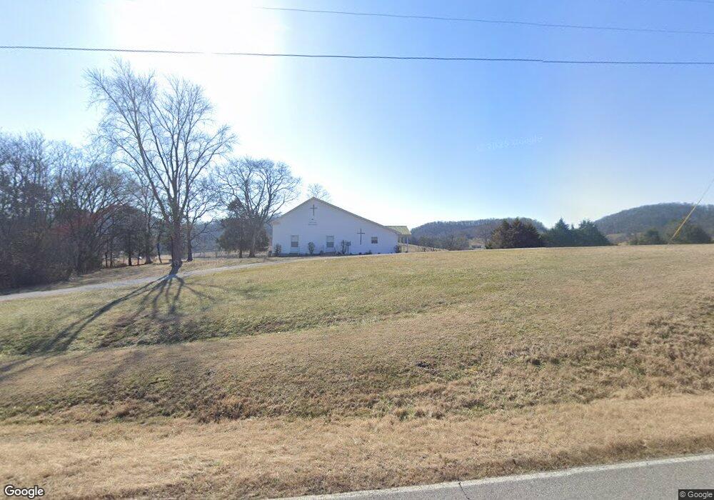
3090 Browning Branch Rd Bethpage, TN 37022
Estimated Value: $481,590 - $592,000
--
Bed
2
Baths
1,960
Sq Ft
$273/Sq Ft
Est. Value
About This Home
This home is located at 3090 Browning Branch Rd, Bethpage, TN 37022 and is currently estimated at $534,648, approximately $272 per square foot. 3090 Browning Branch Rd is a home located in Trousdale County with nearby schools including Trousdale County Elementary School, Trousdale County High School, and Jim Satterfield Middle School.
Ownership History
Date
Name
Owned For
Owner Type
Purchase Details
Closed on
Apr 8, 2013
Sold by
Fisher Grady Paul
Bought by
Bell Justin and Bell Valerie
Current Estimated Value
Purchase Details
Closed on
Sep 23, 2005
Bought by
Paul Fisher Grady
Purchase Details
Closed on
Jul 8, 1988
Bought by
Fisher Grady Paul
Purchase Details
Closed on
Dec 21, 1963
Bought by
Fisher Grady Paul and Fisher Gienda
Create a Home Valuation Report for This Property
The Home Valuation Report is an in-depth analysis detailing your home's value as well as a comparison with similar homes in the area
Home Values in the Area
Average Home Value in this Area
Purchase History
| Date | Buyer | Sale Price | Title Company |
|---|---|---|---|
| Bell Justin | $194,900 | -- | |
| Paul Fisher Grady | -- | -- | |
| Fisher Grady Paul | -- | -- | |
| Fisher Grady Paul | -- | -- |
Source: Public Records
Tax History Compared to Growth
Tax History
| Year | Tax Paid | Tax Assessment Tax Assessment Total Assessment is a certain percentage of the fair market value that is determined by local assessors to be the total taxable value of land and additions on the property. | Land | Improvement |
|---|---|---|---|---|
| 2024 | $1,469 | $75,400 | $21,675 | $53,725 |
| 2023 | $1,469 | $75,400 | $21,675 | $53,725 |
| 2022 | $1,461 | $75,400 | $21,675 | $53,725 |
| 2021 | $1,453 | $75,400 | $21,675 | $53,725 |
| 2020 | $1,453 | $59,575 | $15,175 | $44,400 |
| 2019 | $1,453 | $59,575 | $15,175 | $44,400 |
| 2018 | $1,381 | $47,125 | $12,475 | $34,650 |
| 2017 | $1,353 | $47,125 | $12,475 | $34,650 |
| 2016 | $1,394 | $47,575 | $12,475 | $35,100 |
| 2015 | $1,484 | $47,575 | $12,475 | $35,100 |
| 2014 | $1,471 | $47,150 | $10,400 | $36,750 |
Source: Public Records
Map
Nearby Homes
- 440 Honeysuckle Lane Rd
- 4605 Browning Branch Rd
- 0 Browning Branch Rd Unit RTC2808978
- 1495 Wolf Hill Rd
- 0 Gravel Hill Rd Unit RTC2882308
- 0 Crenshaw Rd
- 0 Chipman Rd
- 630 Bridle Path Ln
- 210 Crenshaw Rd
- 1815 Sulphur College Rd
- 165 Crenshaw Rd
- 135 Crenshaw Rd
- 115 Crenshaw Rd
- 95 Crenshaw Rd
- 3945 Highway 25 W
- 25 Crenshaw Rd
- 2200 Tennessee 141
- 0 Harris Branch Rd
- 1480 Gravel Hill Rd
- 7040 Highway 231 N
- 3090 Browning Branch Rd
- 480 Honeysuckle Lane Rd
- 3065 Browning Branch Rd
- 500 Honeysuckle Lane Rd
- 170 Honeysuckle Lane Rd
- 80 Snake Hollow Rd
- 40 Snake Hollow Rd
- 3145 Browning Branch Rd
- 0 Snake Hollow Rd Unit 1805458
- 0 Snake Hollow Rd Unit 1805438
- 95 Honeysuckle Lane Rd
- 2705 Browning Branch Rd
- 3375 Hawkins Branch Rd
- 3435 Hawkins Branch Rd
- 155 Aaron Harper Ln
- 125 Aaron Harper Ln
- 40 Honeysuckle Lane Rd
- 3275 Browning Branch Rd
- 2665 Browning Branch Rd
- 2735 Browning Branch Rd