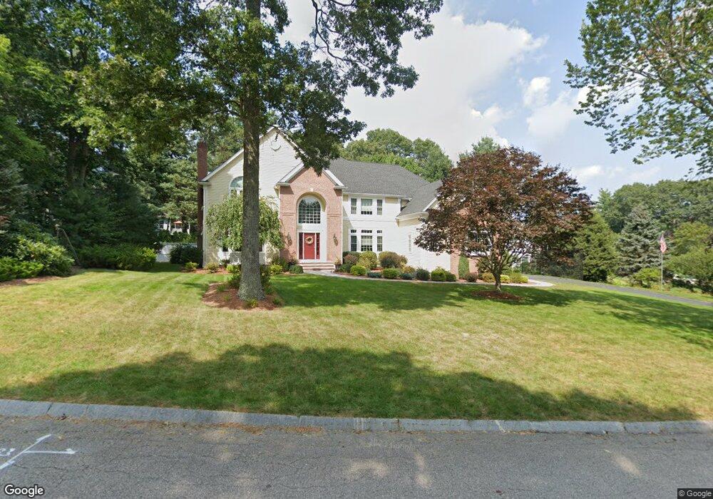
31 High Ridge Cir Franklin, MA 02038
Estimated Value: $1,409,000 - $1,587,000
5
Beds
5
Baths
5,018
Sq Ft
$294/Sq Ft
Est. Value
About This Home
This home is located at 31 High Ridge Cir, Franklin, MA 02038 and is currently estimated at $1,473,878, approximately $293 per square foot. 31 High Ridge Cir is a home located in Norfolk County with nearby schools including Helen Keller Elementary School, Annie Sullivan Middle School, and Franklin High School.
Ownership History
Date
Name
Owned For
Owner Type
Purchase Details
Closed on
May 31, 2005
Sold by
Relocation Dynamics In
Bought by
Duval Maria L and Duval Thomas A
Current Estimated Value
Purchase Details
Closed on
Aug 15, 2001
Sold by
Moore Timothy P and Moore Elizabeth A
Bought by
Hopwood Edward M and Hopwood Jennifer F
Purchase Details
Closed on
Jun 30, 1998
Sold by
Alem Constr & Inv Etc
Bought by
Moore Timothy P and Moore Elizabeth A
Create a Home Valuation Report for This Property
The Home Valuation Report is an in-depth analysis detailing your home's value as well as a comparison with similar homes in the area
Home Values in the Area
Average Home Value in this Area
Purchase History
| Date | Buyer | Sale Price | Title Company |
|---|---|---|---|
| Duval Maria L | $889,500 | -- | |
| Relocation Dynamics In | $920,000 | -- | |
| Hopwood Edward M | $745,000 | -- | |
| Duval Maria L | $889,500 | -- | |
| Hopwood Edward M | $745,000 | -- | |
| Moore Timothy P | $533,811 | -- |
Source: Public Records
Mortgage History
| Date | Status | Borrower | Loan Amount |
|---|---|---|---|
| Open | Moore Timothy P | $487,000 | |
| Closed | Moore Timothy P | $498,877 |
Source: Public Records
Tax History Compared to Growth
Tax History
| Year | Tax Paid | Tax Assessment Tax Assessment Total Assessment is a certain percentage of the fair market value that is determined by local assessors to be the total taxable value of land and additions on the property. | Land | Improvement |
|---|---|---|---|---|
| 2025 | $13,533 | $1,164,600 | $374,800 | $789,800 |
| 2024 | $13,986 | $1,186,300 | $374,800 | $811,500 |
| 2023 | $12,896 | $1,025,100 | $318,500 | $706,600 |
| 2022 | $13,402 | $953,900 | $331,700 | $622,200 |
| 2021 | $13,211 | $901,800 | $278,000 | $623,800 |
| 2020 | $12,635 | $870,800 | $278,000 | $592,800 |
| 2019 | $12,715 | $867,300 | $275,100 | $592,200 |
| 2018 | $11,881 | $811,000 | $280,900 | $530,100 |
| 2017 | $11,950 | $819,600 | $289,500 | $530,100 |
| 2016 | $11,384 | $785,100 | $265,400 | $519,700 |
| 2015 | $10,925 | $736,200 | $216,500 | $519,700 |
| 2014 | $10,874 | $752,500 | $232,800 | $519,700 |
Source: Public Records
Map
Nearby Homes
- 41 Kimberlee Ave
- 336 Maple St
- 2 Kayla Dr
- 91 Oliver Pond Cir Unit 3
- 83 Oliver Pond Cir Unit 7
- 48 Leanne Way Unit 48
- 732 Lincoln St
- 24 Shayne Rd Unit 219
- 70 Daniels St
- 204 Lincoln St
- 2 Skyline Dr
- 2 Noanet Brook Ln
- 208 Irondequoit Rd
- 7 Gloucester Dr
- 0 Elm St
- 17 Longhill Rd
- 48 Pinehurst St
- 66 Highwood Dr
- 159 Highwood Dr
- 33 Daniels St
- 23 High Ridge Cir
- 39 High Ridge Cir
- 30 High Ridge Cir
- 17 High Ridge Cir
- 26 High Ridge Cir
- 34 High Ridge Cir
- 41 High Ridge Cir
- 38 High Ridge Cir
- 22 High Ridge Cir
- 13 High Ridge Cir
- 40 High Ridge Cir
- 18 High Ridge Cir
- 45 High Ridge Cir
- 14 High Ridge Cir
- 44 High Ridge Cir
- 65 Bridle Path
- 63 Bridle Path
- 67 Bridle Path
- 9 High Ridge Cir
- 61 Bridle Path