31 Levi Rd Conway, AR 72032
Estimated Value: $262,000 - $355,613
Studio
--
Bath
2,164
Sq Ft
$143/Sq Ft
Est. Value
About This Home
This home is located at 31 Levi Rd, Conway, AR 72032 and is currently estimated at $309,538, approximately $143 per square foot. 31 Levi Rd is a home located in Faulkner County with nearby schools including Preston & Florence Mattison Elementary School, Bob Courtway Middle School, and Conway Junior High School.
Ownership History
Date
Name
Owned For
Owner Type
Purchase Details
Closed on
Apr 19, 2018
Sold by
Brewer Curtis
Bought by
Sperry Justin B and Sperry Monique J
Current Estimated Value
Home Financials for this Owner
Home Financials are based on the most recent Mortgage that was taken out on this home.
Original Mortgage
$116,000
Outstanding Balance
$99,112
Interest Rate
4.44%
Mortgage Type
Purchase Money Mortgage
Estimated Equity
$210,426
Purchase Details
Closed on
Dec 7, 2012
Sold by
Brewer Laura
Bought by
Brewer Carroll Wayne and Brewer Wayne
Home Financials for this Owner
Home Financials are based on the most recent Mortgage that was taken out on this home.
Original Mortgage
$55,000
Interest Rate
3.42%
Mortgage Type
Future Advance Clause Open End Mortgage
Purchase Details
Closed on
Oct 14, 1994
Bought by
Also Rd Esmt In Sw Se Sw
Create a Home Valuation Report for This Property
The Home Valuation Report is an in-depth analysis detailing your home's value as well as a comparison with similar homes in the area
Home Values in the Area
Average Home Value in this Area
Purchase History
| Date | Buyer | Sale Price | Title Company |
|---|---|---|---|
| Sperry Justin B | $145,000 | Faulkner County Title | |
| Brewer Carroll Wayne | -- | First National Title | |
| Also Rd Esmt In Sw Se Sw | $31,000 | -- |
Source: Public Records
Mortgage History
| Date | Status | Borrower | Loan Amount |
|---|---|---|---|
| Open | Sperry Justin B | $116,000 | |
| Previous Owner | Brewer Carroll Wayne | $55,000 |
Source: Public Records
Tax History
| Year | Tax Paid | Tax Assessment Tax Assessment Total Assessment is a certain percentage of the fair market value that is determined by local assessors to be the total taxable value of land and additions on the property. | Land | Improvement |
|---|---|---|---|---|
| 2025 | $2,296 | $65,890 | $6,160 | $59,730 |
| 2024 | $2,192 | $65,890 | $6,160 | $59,730 |
| 2023 | $2,118 | $48,820 | $6,160 | $42,660 |
| 2022 | $1,703 | $48,820 | $6,160 | $42,660 |
| 2021 | $2,067 | $6,160 | $6,160 | $0 |
| 2020 | $256 | $4,760 | $4,760 | $0 |
| 2019 | $221 | $4,760 | $4,760 | $0 |
| 2018 | $31 | $5,220 | $5,120 | $100 |
| 2017 | $31 | $5,220 | $5,120 | $100 |
| 2016 | $31 | $5,030 | $5,120 | $0 |
| 2015 | $217 | $5,240 | $5,140 | $100 |
| 2014 | $32 | $5,240 | $5,140 | $100 |
Source: Public Records
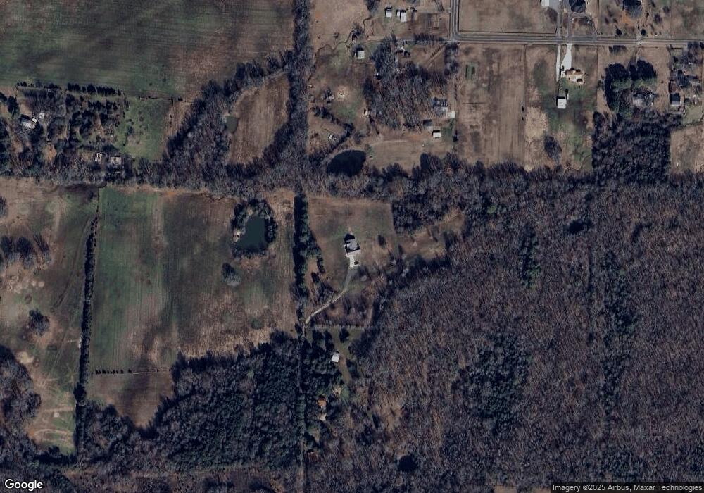
Map
Nearby Homes
- Tract 4 Rooster Rd
- Tract 6 Rooster Rd
- Tract 5 Rooster Rd
- Tract 12 Rooster Rd
- 132 Daugherty Hill Rd
- 000 Malvern Hills Dr
- 510 Jasper St
- 3335 Antietam Dr
- 3335 Appomattox Dr
- 3400 Perryville Dr
- 285 Rooster Rd
- 164 Middle Rd
- 41 Oak Leaf Dr
- 12 Oak Leaf Dr
- 28 Candlelight Dr
- 303 Rooster Rd
- Lot6 Southern Oaks Rd
- 1 Skunk Hollow Rd
- 119 Middle Rd
- 17 Anthony Ln
- 0 Levi
- 87 Hill Farm Rd
- 89 Hill Farm Rd
- 25 Levi Rd
- 77 Hill Farm Rd
- 93 Hill Farm Rd
- 0 Hill Farm Rd
- 78 Hill Farm Rd
- 103 Brewer Rd
- 67 Hill Farm Rd
- 74 Hill Farm Rd
- 101 Hill Farm Rd
- 65 Daugherty Hill Rd
- 110 Hill Farm Rd
- 91 Daugherty Hill Rd
- 109 Hill Farm Rd
- 54 Hill Farm Rd
- 112 Hill Farm Rd
- 115 Daugherty Hill Rd
- 48 Hill Farm Rd
Your Personal Tour Guide
Ask me questions while you tour the home.