31 Winnecoette Ave Vineyard Haven, MA 02568
West Tisbury NeighborhoodEstimated Value: $2,162,000 - $3,770,466
5
Beds
3
Baths
2,329
Sq Ft
$1,381/Sq Ft
Est. Value
About This Home
This home is located at 31 Winnecoette Ave, Vineyard Haven, MA 02568 and is currently estimated at $3,216,367, approximately $1,381 per square foot. 31 Winnecoette Ave is a home located in Dukes County with nearby schools including Martha's Vineyard Regional High School, Martha's Vineyard Charter School, and Vineyard Montessori School.
Ownership History
Date
Name
Owned For
Owner Type
Purchase Details
Closed on
Sep 1, 2010
Sold by
Winnecoette Avenue Llc
Bought by
Lesser Ft Wellesley Ll
Current Estimated Value
Purchase Details
Closed on
Jul 21, 2008
Sold by
Lesser Clare E and Lesser Richard G
Bought by
Winnecoette Ave Prop L
Create a Home Valuation Report for This Property
The Home Valuation Report is an in-depth analysis detailing your home's value as well as a comparison with similar homes in the area
Home Values in the Area
Average Home Value in this Area
Purchase History
| Date | Buyer | Sale Price | Title Company |
|---|---|---|---|
| Lesser Ft Wellesley Ll | -- | -- | |
| Winnecoette Ave Prop L | -- | -- |
Source: Public Records
Tax History Compared to Growth
Tax History
| Year | Tax Paid | Tax Assessment Tax Assessment Total Assessment is a certain percentage of the fair market value that is determined by local assessors to be the total taxable value of land and additions on the property. | Land | Improvement |
|---|---|---|---|---|
| 2025 | $15,075 | $3,327,800 | $2,074,900 | $1,252,900 |
| 2024 | $13,801 | $3,209,500 | $2,014,800 | $1,194,700 |
| 2023 | $13,449 | $3,084,700 | $2,011,900 | $1,072,800 |
| 2022 | $11,936 | $2,050,900 | $1,250,000 | $800,900 |
| 2021 | $11,580 | $1,898,300 | $1,166,700 | $731,600 |
| 2020 | $11,458 | $1,887,700 | $1,151,500 | $736,200 |
| 2019 | $10,667 | $1,726,100 | $1,045,700 | $680,400 |
| 2018 | $10,202 | $1,683,500 | $998,700 | $684,800 |
| 2017 | $9,962 | $1,668,700 | $998,700 | $670,000 |
| 2016 | $9,664 | $1,594,700 | $942,600 | $652,100 |
| 2015 | $9,106 | $1,594,700 | $942,600 | $652,100 |
| 2014 | $8,961 | $1,656,300 | $1,180,600 | $475,700 |
Source: Public Records
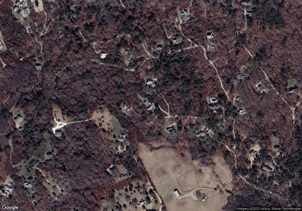
Map
Nearby Homes
- 11 Beach Pebble Rd Unit 48.3
- 11 Beach Pebble Rd
- 9 Beach Pebble Rd
- 180 Pilot Hill Farm Rd
- 60 Bartimus Luce Rd
- 20 Brook Hollow Rd
- 97 Longview Rd
- 157 Ben Chase Rd
- 55 Old House Way
- 16 Red Coat Hill Rd
- 31 Lamberts Cove Rd
- 104 & 111 Old Herring Creek Rd
- 208 Irenes Way
- 344 Greenwood Ave
- 50 Lantern Ln
- 33 Alyssa Ln
- 51 Lantern Ln
- 136 W Spring St
- 128 W Spring St
- 25 Winnecoette Ave
- 33 Winnecoette Ave
- 32 Winnecoette Ave
- 83 Norton Farm Rd
- 4 Naushon Rd
- 17 Umbagog Ave
- 20 Winnecoette Ave
- 17 Umbagog Ave Wt109 Unit 1
- 17 Umbagog Ave Wt109
- 11 Winnecoette Ave
- 11 Chappaquiddick Ave
- 28 Naushon Rd
- 90 Norton Farm Rd
- 94 Norton Farm Rd
- 95 Gay Head Ave
- 95 Gay Head Ave
- 30 Pebble Beach Rd
- 29 Naushon Rd
- 30 Gay Head Ave
- 129 Gay Head Ave