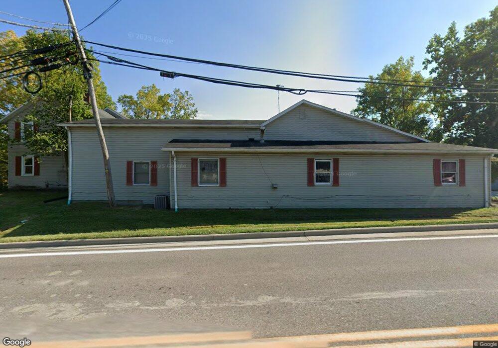
3122 State Route 82 Unit 31 Mantua, OH 44255
Estimated Value: $137,782
2
Beds
1
Bath
5,145
Sq Ft
$27/Sq Ft
Est. Value
About This Home
This home is located at 3122 State Route 82 Unit 31, Mantua, OH 44255 and is currently estimated at $137,782, approximately $26 per square foot. 3122 State Route 82 Unit 31 is a home located in Portage County with nearby schools including Crestwood Primary School, Crestwood Intermediate School, and Crestwood Middle School.
Ownership History
Date
Name
Owned For
Owner Type
Purchase Details
Closed on
May 31, 2018
Sold by
Mantua Properties Llc
Bought by
Korner Kraig E
Current Estimated Value
Purchase Details
Closed on
Dec 9, 2004
Sold by
Hartman Violet Y
Bought by
Mantua Properties Llc
Home Financials for this Owner
Home Financials are based on the most recent Mortgage that was taken out on this home.
Original Mortgage
$215,600
Interest Rate
5.71%
Mortgage Type
Commercial
Purchase Details
Closed on
Oct 21, 2002
Sold by
Estate Of Robert Hartman
Bought by
Hartman Violet
Purchase Details
Closed on
Feb 14, 1991
Bought by
Hartman Robert P
Create a Home Valuation Report for This Property
The Home Valuation Report is an in-depth analysis detailing your home's value as well as a comparison with similar homes in the area
Home Values in the Area
Average Home Value in this Area
Purchase History
| Date | Buyer | Sale Price | Title Company |
|---|---|---|---|
| Korner Kraig E | $82,000 | -- | |
| Mantua Properties Llc | $269,500 | Midland Title Security Inc | |
| Hartman Violet | -- | -- | |
| Hartman Robert P | -- | -- |
Source: Public Records
Mortgage History
| Date | Status | Borrower | Loan Amount |
|---|---|---|---|
| Previous Owner | Mantua Properties Llc | $215,600 |
Source: Public Records
Tax History Compared to Growth
Tax History
| Year | Tax Paid | Tax Assessment Tax Assessment Total Assessment is a certain percentage of the fair market value that is determined by local assessors to be the total taxable value of land and additions on the property. | Land | Improvement |
|---|---|---|---|---|
| 2024 | $2,375 | $51,740 | $9,350 | $42,390 |
| 2023 | $2,172 | $41,370 | $8,260 | $33,110 |
| 2022 | $2,249 | $41,370 | $8,260 | $33,110 |
| 2021 | $2,293 | $41,370 | $8,260 | $33,110 |
| 2020 | $2,295 | $41,370 | $8,260 | $33,110 |
| 2019 | $2,286 | $41,370 | $8,260 | $33,110 |
| 2018 | $4,380 | $80,120 | $7,950 | $72,170 |
| 2017 | $4,380 | $80,120 | $7,950 | $72,170 |
| 2016 | $4,390 | $80,120 | $7,950 | $72,170 |
| 2015 | $4,380 | $80,120 | $7,950 | $72,170 |
| 2014 | $4,422 | $80,120 | $7,950 | $72,170 |
| 2013 | $4,378 | $80,120 | $7,950 | $72,170 |
Source: Public Records
Map
Nearby Homes
- 200 Greentree Cir
- 11166 Loris Ave
- 12298 Chamberlain Rd
- 290 Townline Rd
- 483 Townline Rd
- 12167 Mantua Center Rd
- 3444 Winchell Rd
- 679 Deep Woods Dr
- 12845 Vincent Dr
- 1130 Winchell Rd
- 11470 Bowen Rd
- 10389 Wentworth Rd
- 4364 Pioneer Trail
- 651 Parker Rd
- 2785 Fairfax St
- 10306 Winthrop Rd
- 2653 Fairfax St
- 990 Whisperwood Ln
- 0 Infirmary Rd
- 635 Prestige Woods Blvd
- 3122 Ohio 82
- 3096 State Route 82
- 3096 Ohio 82
- 3149 State Route 82
- 3113 State Route 82
- 3174 Ohio 82
- 3174 Ohio 82
- (2756) Ohio 82
- 3076 State Route 82
- 3185 State Route 82
- 11696 Chamberlain Rd
- 3073 State Route 82
- 11607 Chamberlain Rd
- 11712 Chamberlain Rd
- 3201 State Route 82
- 11590 Chamberlain Rd
- 11726 Chamberlain Rd
- 11595 Chamberlain Rd
- 11564 Chamberlain Rd
- 3217 State Route 82