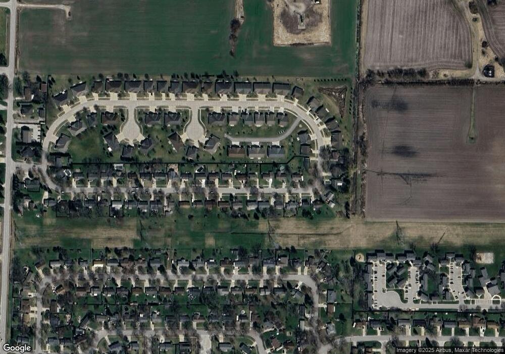
3133 Coventry Dr Bay City, MI 48706
Estimated Value: $130,636 - $203,000
3
Beds
1
Bath
925
Sq Ft
$190/Sq Ft
Est. Value
About This Home
This home is located at 3133 Coventry Dr, Bay City, MI 48706 and is currently estimated at $175,409, approximately $189 per square foot. 3133 Coventry Dr is a home located in Bay County with nearby schools including John Glenn High School, State Street Academy, and Faith Lutheran School.
Ownership History
Date
Name
Owned For
Owner Type
Purchase Details
Closed on
Jul 9, 2003
Sold by
Wisneski Daniel M
Bought by
Wisneski Daniel M and Wisneski Lisa
Current Estimated Value
Home Financials for this Owner
Home Financials are based on the most recent Mortgage that was taken out on this home.
Original Mortgage
$121,000
Outstanding Balance
$51,869
Interest Rate
5.37%
Mortgage Type
Purchase Money Mortgage
Estimated Equity
$123,540
Purchase Details
Closed on
Mar 23, 1990
Sold by
Grocholski Gregory T and Grocholski Luanne M
Bought by
Wisneski Daniel M
Create a Home Valuation Report for This Property
The Home Valuation Report is an in-depth analysis detailing your home's value as well as a comparison with similar homes in the area
Home Values in the Area
Average Home Value in this Area
Purchase History
| Date | Buyer | Sale Price | Title Company |
|---|---|---|---|
| Wisneski Daniel M | -- | -- | |
| Wisneski Daniel M | $39,000 | -- |
Source: Public Records
Mortgage History
| Date | Status | Borrower | Loan Amount |
|---|---|---|---|
| Open | Wisneski Daniel M | $121,000 |
Source: Public Records
Tax History Compared to Growth
Tax History
| Year | Tax Paid | Tax Assessment Tax Assessment Total Assessment is a certain percentage of the fair market value that is determined by local assessors to be the total taxable value of land and additions on the property. | Land | Improvement |
|---|---|---|---|---|
| 2025 | $1,516 | $54,950 | $0 | $0 |
| 2024 | $772 | $49,600 | $0 | $0 |
| 2023 | $711 | $44,250 | $0 | $0 |
| 2022 | $1,291 | $40,300 | $0 | $0 |
| 2021 | $1,177 | $37,150 | $37,150 | $0 |
| 2020 | $1,150 | $35,350 | $35,350 | $0 |
| 2019 | $1,104 | $32,750 | $0 | $0 |
| 2018 | $1,073 | $29,500 | $0 | $0 |
| 2017 | $1,016 | $29,850 | $0 | $0 |
| 2016 | $1,013 | $29,250 | $0 | $29,250 |
| 2015 | -- | $28,050 | $0 | $28,050 |
| 2014 | -- | $26,950 | $0 | $26,950 |
Source: Public Records
Map
Nearby Homes
- 3112 Gaslight Dr
- 3112 Gaslight Unit 48 Dr
- 3868 2 Mile Rd
- 3077 Glenway Place
- 3322 Birchbrook Dr
- 3425 Win Kae Place
- 3226 Kiesel Rd
- 3536 Wheeler Rd
- 3322 Old Kawkawlin Rd
- 3344 N Euclid Ave
- 25 State Park Dr
- 23 Old Kawkawlin Rd
- 4464 W Park Dr
- 714 Frost Dr
- 1707 N Henry St
- 4543 Westfield Ct
- 2976 Lupine Ct
- 1005 N Wenona Ave
- 538 Handy Dr
- 3105 N Euclid Ave
- 3139 Coventry Dr
- 3125 Coventry Dr
- 3162 Edison Dr
- 3166 Edison Dr
- 3156 Edison Dr
- 3147 Coventry Dr
- 3119 Coventry Dr
- 3172 Edison Dr
- 3132 Coventry Dr
- 3138 Coventry Dr
- 3176 Edison Dr
- 3124 Coventry Dr
- 3111 Coventry Dr
- 3118 Coventry Dr
- 3157 Coventry Dr
- 3181 Coventry Dr
- 3104 Gaslight Ct Unit 50
- 3110 Coventry Dr
- 3103 Coventry Dr
- 3132 Gaslight Dr
