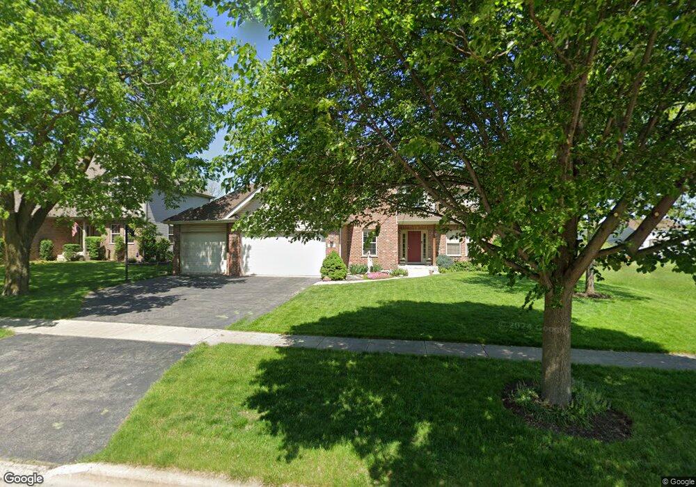
314 Bucktail Dr Unit 1 Oswego, IL 60543
Northwest Oswego NeighborhoodEstimated Value: $466,000 - $529,000
4
Beds
3
Baths
2,690
Sq Ft
$182/Sq Ft
Est. Value
About This Home
This home is located at 314 Bucktail Dr Unit 1, Oswego, IL 60543 and is currently estimated at $490,378, approximately $182 per square foot. 314 Bucktail Dr Unit 1 is a home located in Kendall County with nearby schools including Fox Chase Elementary School, Traughber Junior High School, and Oswego High School.
Ownership History
Date
Name
Owned For
Owner Type
Purchase Details
Closed on
Jul 21, 2003
Sold by
State Bank Of Countryside
Bought by
Kispert David W and Kispert Paula R
Current Estimated Value
Home Financials for this Owner
Home Financials are based on the most recent Mortgage that was taken out on this home.
Original Mortgage
$165,000
Interest Rate
5.97%
Mortgage Type
Purchase Money Mortgage
Create a Home Valuation Report for This Property
The Home Valuation Report is an in-depth analysis detailing your home's value as well as a comparison with similar homes in the area
Home Values in the Area
Average Home Value in this Area
Purchase History
| Date | Buyer | Sale Price | Title Company |
|---|---|---|---|
| Kispert David W | $295,000 | Enterprise Land Title Ltd |
Source: Public Records
Mortgage History
| Date | Status | Borrower | Loan Amount |
|---|---|---|---|
| Previous Owner | Kispert David W | $165,000 |
Source: Public Records
Tax History Compared to Growth
Tax History
| Year | Tax Paid | Tax Assessment Tax Assessment Total Assessment is a certain percentage of the fair market value that is determined by local assessors to be the total taxable value of land and additions on the property. | Land | Improvement |
|---|---|---|---|---|
| 2024 | $10,235 | $134,162 | $16,670 | $117,492 |
| 2023 | $9,225 | $120,034 | $14,915 | $105,119 |
| 2022 | $9,225 | $108,974 | $13,541 | $95,433 |
| 2021 | $8,901 | $101,905 | $13,541 | $88,364 |
| 2020 | $8,609 | $98,506 | $13,541 | $84,965 |
| 2019 | $8,389 | $94,726 | $13,021 | $81,705 |
| 2018 | $8,481 | $90,426 | $13,021 | $77,405 |
| 2017 | $8,512 | $88,908 | $13,021 | $75,887 |
| 2016 | $8,184 | $84,210 | $13,021 | $71,189 |
| 2015 | $8,119 | $79,732 | $11,655 | $68,077 |
| 2014 | -- | $81,581 | $11,655 | $69,926 |
| 2013 | -- | $81,581 | $11,655 | $69,926 |
Source: Public Records
Map
Nearby Homes
- 435 Fawn Dr
- 238 Willowwood Dr
- 409 Fawn Dr
- 411 Bayberry Dr
- 102 Mary St
- 173 Dolores St
- 618 Pineridge Dr N Unit 618
- 614 Pineridge Dr N Unit 43
- LOT 10 SW Station Dr
- 338 Millstream Ln Unit 1
- 517 Meadowwood Ln Unit 3
- 514 Bentson St
- 424 Grape Vine Trail
- 537 Arbor Ln
- 2721 Berrywood Ln
- 602 Clearwater Ct Unit 2
- 608 Clearwater Ct
- 3935 Havenhill Ct
- 2100 Light Rd Unit 109
- 158 Concord Dr S
- 312 Bucktail Dr Unit 1
- 316 Bucktail Dr
- 310 Bucktail Dr Unit 8
- 318 Bucktail Dr
- 315 Bucktail Dr
- 313 Bucktail Dr
- 643 Otter Way Unit 7
- 645 Otter Way Unit 7
- 311 Bucktail Dr
- 641 Otter Way Unit 7
- 308 Bucktail Dr Unit 8
- 317 Bucktail Dr
- 647 Otter Way Unit 7
- 500 White Owl Ln
- 639 Otter Way Unit 7
- 649 Otter Way
- 306 Bucktail Dr
- 502 White Owl Ln
- 637 Otter Way Unit 7
- 651 Otter Way