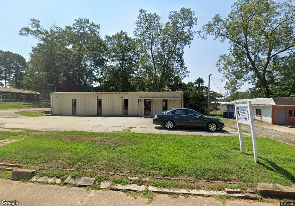
315 W Franklin St Anderson, SC 29624
Estimated Value: $46,830
--
Bed
--
Bath
613
Sq Ft
$76/Sq Ft
Est. Value
About This Home
This home is located at 315 W Franklin St, Anderson, SC 29624 and is currently estimated at $46,830, approximately $76 per square foot. 315 W Franklin St is a home located in Anderson County with nearby schools including Varennes Elementary School, Robert Anderson Middle School, and Westside High School.
Ownership History
Date
Name
Owned For
Owner Type
Purchase Details
Closed on
Aug 7, 2024
Sold by
Donaldson Estates Llc
Bought by
Gossett Drive Llc
Current Estimated Value
Purchase Details
Closed on
Aug 29, 2023
Sold by
Lomax Andrew
Bought by
Donaldson Estates Llc
Home Financials for this Owner
Home Financials are based on the most recent Mortgage that was taken out on this home.
Original Mortgage
$42,500
Interest Rate
6.81%
Mortgage Type
Seller Take Back
Purchase Details
Closed on
Jan 29, 2011
Sold by
Lomax Louise G and Lomax Rosa Mae
Bought by
Lomax Andrew
Purchase Details
Closed on
May 31, 2010
Sold by
Estate Of Walter Boyd Lomax Sr
Bought by
Lomax Andrew
Create a Home Valuation Report for This Property
The Home Valuation Report is an in-depth analysis detailing your home's value as well as a comparison with similar homes in the area
Home Values in the Area
Average Home Value in this Area
Purchase History
| Date | Buyer | Sale Price | Title Company |
|---|---|---|---|
| Gossett Drive Llc | $44,500 | None Listed On Document | |
| Donaldson Estates Llc | $42,500 | None Listed On Document | |
| Lomax Andrew | -- | -- | |
| Lomax Andrew | -- | -- |
Source: Public Records
Mortgage History
| Date | Status | Borrower | Loan Amount |
|---|---|---|---|
| Previous Owner | Donaldson Estates Llc | $42,500 |
Source: Public Records
Tax History Compared to Growth
Tax History
| Year | Tax Paid | Tax Assessment Tax Assessment Total Assessment is a certain percentage of the fair market value that is determined by local assessors to be the total taxable value of land and additions on the property. | Land | Improvement |
|---|---|---|---|---|
| 2024 | $1,070 | $2,560 | $300 | $2,260 |
| 2023 | $1,070 | $660 | $300 | $360 |
| 2022 | $234 | $660 | $300 | $360 |
| 2021 | $233 | $540 | $180 | $360 |
| 2020 | $231 | $540 | $180 | $360 |
| 2019 | $231 | $540 | $180 | $360 |
| 2018 | $228 | $540 | $180 | $360 |
| 2017 | -- | $540 | $180 | $360 |
| 2016 | $226 | $540 | $180 | $360 |
| 2015 | $228 | $540 | $180 | $360 |
| 2014 | $225 | $660 | $180 | $480 |
Source: Public Records
Map
Nearby Homes
- Lot 1 S Towers St
- 310 W Hampton St
- 308 W Hampton St
- 426 W Reed St Unit A&B
- 422 W Reed St Unit A&B
- 424 W Reed St Unit A&B
- 428 W Reed St Unit A&B
- 0 W Reed St
- 1103 Scott Dr
- 106 W Franklin St Unit A-D
- 104 W Franklin St
- 1002 S Main St
- 00 W Franklin St
- 0 W Franklin St
- 413 W Market St
- 403 Rose Hill
- 701 Delia St
- 701 Delia St Unit B
- 701 Delia St Unit A
- 720 722 Gary St
- 402 W Franklin St
- 404 W Franklin St
- 406 W Franklin St
- 308 W Franklin St
- 408 W Franklin St
- 415 W Franklin St
- 313 Mccully St
- 315 Mccully St
- 311 Mccully St
- 317 Mccully St
- 309 Mccully St
- 331 Mccully St
- 501 W Franklin St
- 307 Mccully St
- 302 W Franklin St
- 305 Mccully St
- 407 W Franklin St
- 900 S Towers St
- 303 Mccully St
- 316 Mccully St