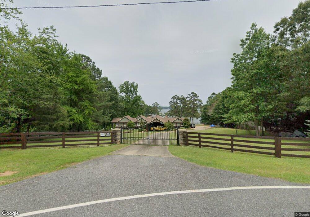
315 Wham Rd Anderson, SC 29625
Estimated Value: $442,000 - $1,041,000
3
Beds
3
Baths
2,819
Sq Ft
$296/Sq Ft
Est. Value
About This Home
This home is located at 315 Wham Rd, Anderson, SC 29625 and is currently estimated at $834,226, approximately $295 per square foot. 315 Wham Rd is a home located in Anderson County with nearby schools including Pendleton High School.
Ownership History
Date
Name
Owned For
Owner Type
Purchase Details
Closed on
Jul 15, 2024
Sold by
Nixon Shelley
Bought by
Mccaig Evan Douglas
Current Estimated Value
Purchase Details
Closed on
Sep 2, 2022
Sold by
Howard Nixon Thomas
Bought by
Nixon Shelley
Purchase Details
Closed on
Oct 26, 2012
Sold by
Powell Norma W and Powell Wilma B
Bought by
Nixon Thomas H and Nixon Shelley
Home Financials for this Owner
Home Financials are based on the most recent Mortgage that was taken out on this home.
Original Mortgage
$360,000
Interest Rate
3.42%
Mortgage Type
Purchase Money Mortgage
Create a Home Valuation Report for This Property
The Home Valuation Report is an in-depth analysis detailing your home's value as well as a comparison with similar homes in the area
Home Values in the Area
Average Home Value in this Area
Purchase History
| Date | Buyer | Sale Price | Title Company |
|---|---|---|---|
| Mccaig Evan Douglas | $1,000,000 | None Listed On Document | |
| Nixon Shelley | -- | -- | |
| Nixon Thomas H | $400,000 | -- |
Source: Public Records
Mortgage History
| Date | Status | Borrower | Loan Amount |
|---|---|---|---|
| Previous Owner | Nixon Thomas H | $360,000 |
Source: Public Records
Tax History Compared to Growth
Tax History
| Year | Tax Paid | Tax Assessment Tax Assessment Total Assessment is a certain percentage of the fair market value that is determined by local assessors to be the total taxable value of land and additions on the property. | Land | Improvement |
|---|---|---|---|---|
| 2024 | $2,679 | $19,840 | $9,460 | $10,380 |
| 2023 | $2,679 | $29,760 | $14,190 | $15,570 |
| 2022 | $2,395 | $19,840 | $9,460 | $10,380 |
| 2021 | $2,084 | $17,440 | $8,600 | $8,840 |
| 2020 | $2,057 | $17,440 | $8,600 | $8,840 |
| 2019 | $2,350 | $17,440 | $8,600 | $8,840 |
| 2018 | $2,369 | $17,440 | $8,600 | $8,840 |
| 2017 | -- | $17,440 | $8,600 | $8,840 |
| 2016 | $2,175 | $15,920 | $7,460 | $8,460 |
| 2015 | $2,190 | $15,920 | $7,460 | $8,460 |
| 2014 | $2,265 | $15,920 | $7,460 | $8,460 |
Source: Public Records
Map
Nearby Homes
- 210 Jackson Cir
- 5504 Highway 24
- 312 Harbor Dr
- 00 Shirley Cir
- 204 Rock Creek Rd
- 407 Fields Ave
- 419 Fields Ave
- 106 Topsail Dr
- 104 C-4-112a
- 102 C-4-112a
- 125 Maffett Cir
- 111 Kenneth Dr
- 130 Windjammer Way
- 00 Nunnally Rd
- 402 Edgewater Dr
- 612 Walnut Way
- 115 Woodshore Dr
- 103 Crepe Myrtle Ln
- 1037 Pearl Harbor Way
- 317 Wham Rd
- 321 Wham Rd
- 321 Wham Rd
- 131 Winding River Dr
- 129 Winding River Dr
- 133 Winding River Dr
- 133 Winding River Dr Unit River Point
- 1042 Embassy Dr
- 127 Winding River Dr
- 135 Winding River Dr
- 1020 Embassy Dr
- 125 Winding River Dr
- 123 Winding River Dr
- 121 Winding River Dr
- 119 Winding River Dr
- 120 Winding River Dr
- 117 Winding River Dr
- 115 Winding River Dr
- 113 Winding River Dr
- 109 Winding River Dr