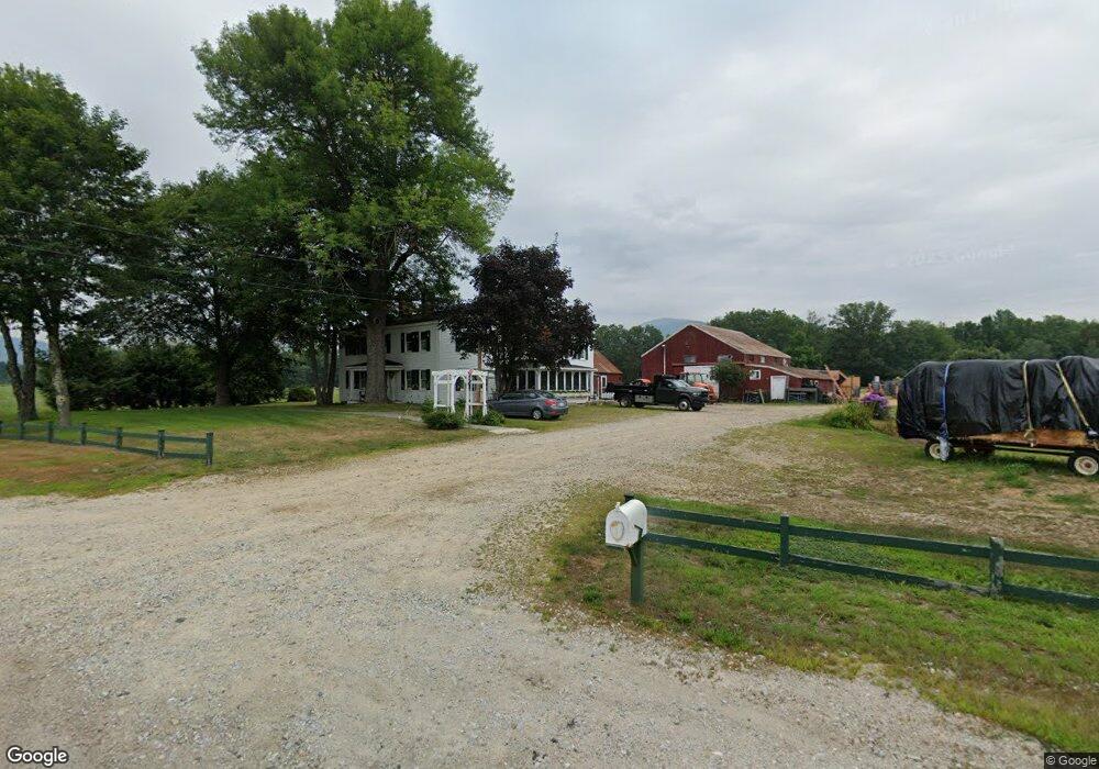
3181 W Side Rd North Conway, NH 03860
Estimated Value: $558,000 - $925,000
6
Beds
2
Baths
3,614
Sq Ft
$209/Sq Ft
Est. Value
About This Home
This home is located at 3181 W Side Rd, North Conway, NH 03860 and is currently estimated at $756,614, approximately $209 per square foot. 3181 W Side Rd is a home located in Carroll County with nearby schools including A. Crosby Kennett Middle School, Kennett High School, and The Lilliputian School.
Ownership History
Date
Name
Owned For
Owner Type
Purchase Details
Closed on
Apr 4, 2002
Sold by
Eliason Louise Avent
Bought by
Hatch Farm Rt
Current Estimated Value
Home Financials for this Owner
Home Financials are based on the most recent Mortgage that was taken out on this home.
Original Mortgage
$125,000
Outstanding Balance
$51,966
Interest Rate
6.85%
Mortgage Type
Purchase Money Mortgage
Estimated Equity
$704,648
Purchase Details
Closed on
Apr 27, 1993
Bought by
Schartner Richard J and Schartner Nancy P
Create a Home Valuation Report for This Property
The Home Valuation Report is an in-depth analysis detailing your home's value as well as a comparison with similar homes in the area
Home Values in the Area
Average Home Value in this Area
Purchase History
| Date | Buyer | Sale Price | Title Company |
|---|---|---|---|
| Hatch Farm Rt | $145,000 | -- | |
| Schartner Richard J | $268,000 | -- |
Source: Public Records
Mortgage History
| Date | Status | Borrower | Loan Amount |
|---|---|---|---|
| Open | Schartner Richard J | $125,000 |
Source: Public Records
Tax History Compared to Growth
Tax History
| Year | Tax Paid | Tax Assessment Tax Assessment Total Assessment is a certain percentage of the fair market value that is determined by local assessors to be the total taxable value of land and additions on the property. | Land | Improvement |
|---|---|---|---|---|
| 2024 | $8,432 | $696,900 | $0 | $0 |
| 2023 | $7,603 | $0 | $0 | $0 |
| 2022 | $7,085 | $0 | $0 | $0 |
| 2021 | $6,410 | $392,300 | $113,300 | $279,000 |
| 2020 | $7,045 | $406,300 | $127,300 | $279,000 |
| 2019 | $7,037 | $406,300 | $127,300 | $279,000 |
| 2018 | $7,106 | $340,500 | $117,300 | $223,200 |
| 2017 | $6,803 | $340,500 | $117,300 | $223,200 |
| 2016 | $6,575 | $340,500 | $117,300 | $223,200 |
Source: Public Records
Map
Nearby Homes
- 56 Forest Park Way Unit 19
- 58 Crossbow Ln
- 3002 White Mountain Hwy Unit Lots 29 and 30 - 300
- 2955 White Mountain Hwy Unit 106 (W5)
- 2955 White Mountain Hwy Unit 123 (E20)
- 2955 White Mountain Hwy Unit 204 W28
- 2955 White Mountain Hwy Unit 114 (W25)
- 2955 White Mountain Hwy Unit 207 (W-31)
- 3360 & 3378 White Mountain Hwy
- 2906 White Mountain Hwy
- 00000 Ledgewood Rd
- 10 Elm Brook Rd Unit 9
- 17 Purple Finch Rd Unit 73
- 3610 W Side Rd
- 3465 White Mountain Hwy
- 2760 New Hampshire 16 Unit E008A Week 29
- 5 Lucy Brook Rd
- 7 Fairway Dr
- 129 Dinsmore Rd
- 73 Dinsmore Rd
- 427 River Rd
- 3102 W Side Rd
- 427 River Rd
- 74 Valley Ln
- 64 Valley Ln
- 50 Valley Ln
- 51 Valley Ln
- 40 Valley Rd W
- 40 Valley Ln
- 62 Sparhawk Ln
- 30 Valley Ln
- 64 Sparhawk Ln
- 54 Sparhawk Ln
- 34 Sparhawk Ln
- 0 Valley Rd W Unit 4904426
- 3351 W Side Rd
- 3315 W Side Rd
- 77 Old West Side Rd Unit B
- 59 Sparhawk Ln
- 14 Sparhawk Ln