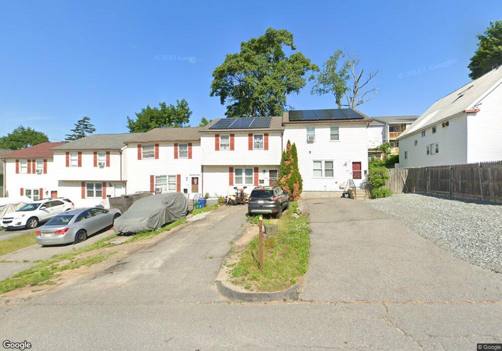
31B Grammont Rd Worcester, MA 01607
Vernon Hill NeighborhoodEstimated Value: $329,000 - $360,000
3
Beds
2
Baths
1,232
Sq Ft
$281/Sq Ft
Est. Value
About This Home
This home is located at 31B Grammont Rd, Worcester, MA 01607 and is currently estimated at $345,687, approximately $280 per square foot. 31B Grammont Rd is a home located in Worcester County with nearby schools including Vernon Hill Elementary School, Jacob Hiatt Magnet School, and Chandler Magnet.
Ownership History
Date
Name
Owned For
Owner Type
Purchase Details
Closed on
Oct 28, 2005
Sold by
Stewart Lisa L
Bought by
Paredes Fabio
Current Estimated Value
Home Financials for this Owner
Home Financials are based on the most recent Mortgage that was taken out on this home.
Original Mortgage
$146,320
Outstanding Balance
$78,942
Interest Rate
5.79%
Mortgage Type
Purchase Money Mortgage
Estimated Equity
$266,745
Purchase Details
Closed on
Nov 30, 1999
Sold by
Thiel Gail M and Thiel Steven J
Bought by
Stone Michael
Home Financials for this Owner
Home Financials are based on the most recent Mortgage that was taken out on this home.
Original Mortgage
$69,900
Interest Rate
7.77%
Mortgage Type
Purchase Money Mortgage
Create a Home Valuation Report for This Property
The Home Valuation Report is an in-depth analysis detailing your home's value as well as a comparison with similar homes in the area
Home Values in the Area
Average Home Value in this Area
Purchase History
| Date | Buyer | Sale Price | Title Company |
|---|---|---|---|
| Paredes Fabio | $182,900 | -- | |
| Stone Michael | $77,900 | -- |
Source: Public Records
Mortgage History
| Date | Status | Borrower | Loan Amount |
|---|---|---|---|
| Open | Paredes Fabio | $146,320 | |
| Previous Owner | Stone Michael | $69,900 | |
| Previous Owner | Stone Michael | $69,964 | |
| Previous Owner | Stone Michael | $10,000 |
Source: Public Records
Tax History Compared to Growth
Tax History
| Year | Tax Paid | Tax Assessment Tax Assessment Total Assessment is a certain percentage of the fair market value that is determined by local assessors to be the total taxable value of land and additions on the property. | Land | Improvement |
|---|---|---|---|---|
| 2025 | $3,739 | $283,500 | $60,900 | $222,600 |
| 2024 | $3,531 | $256,800 | $60,900 | $195,900 |
| 2023 | $3,361 | $234,400 | $53,000 | $181,400 |
| 2022 | $3,034 | $199,500 | $42,400 | $157,100 |
| 2021 | $2,873 | $176,500 | $33,900 | $142,600 |
| 2020 | $2,824 | $166,100 | $33,900 | $132,200 |
| 2019 | $2,716 | $150,900 | $30,500 | $120,400 |
| 2018 | $2,712 | $143,400 | $30,500 | $112,900 |
| 2017 | $2,535 | $131,900 | $30,500 | $101,400 |
| 2016 | $2,531 | $122,800 | $23,600 | $99,200 |
| 2015 | $2,465 | $122,800 | $23,600 | $99,200 |
| 2014 | $2,400 | $122,800 | $23,600 | $99,200 |
Source: Public Records
Map
Nearby Homes
- 32 Ames St
- 145 Loxwood St
- Lot 1 Stockton St
- 26 Maxwell St
- 78 Harlem St
- 11 Gibbs St Unit 12
- 8 Taunton St
- 6 Holcombe St
- 42 Bridgeport St
- 70 Sterling St
- 17 Thenius St
- 10 Rutledge St Unit 3G
- 16 Hillside St
- 96 Vernon St
- 26 Derby St
- 103 Blackstone River Rd
- 55 Whipple St
- 32 Kosta St
- 9 Winthrop St
- 7 Winthrop St
- 31D Grammont Rd
- 35 Grammont Rd
- 35 Grammont Rd Unit B
- 35 Grammont Rd Unit 3
- 35 Grammont Rd Unit 1
- 37 Grammont Rd
- 31 Grammont Rd Unit E
- 31 Grammont Rd Unit D
- 31 Grammont Rd Unit C
- 31 Grammont Rd Unit B
- 31 Grammont Rd Unit A
- 31 Grammont Rd
- 39 Grammont Rd
- 41 Grammont Rd
- 27 Grammont Rd
- 27 Grammont Rd Unit 2
- 27 Grammont Rd Unit 1
- 43 Grammont Rd
- 30 Grammont Rd
- 28 Grammont Rd