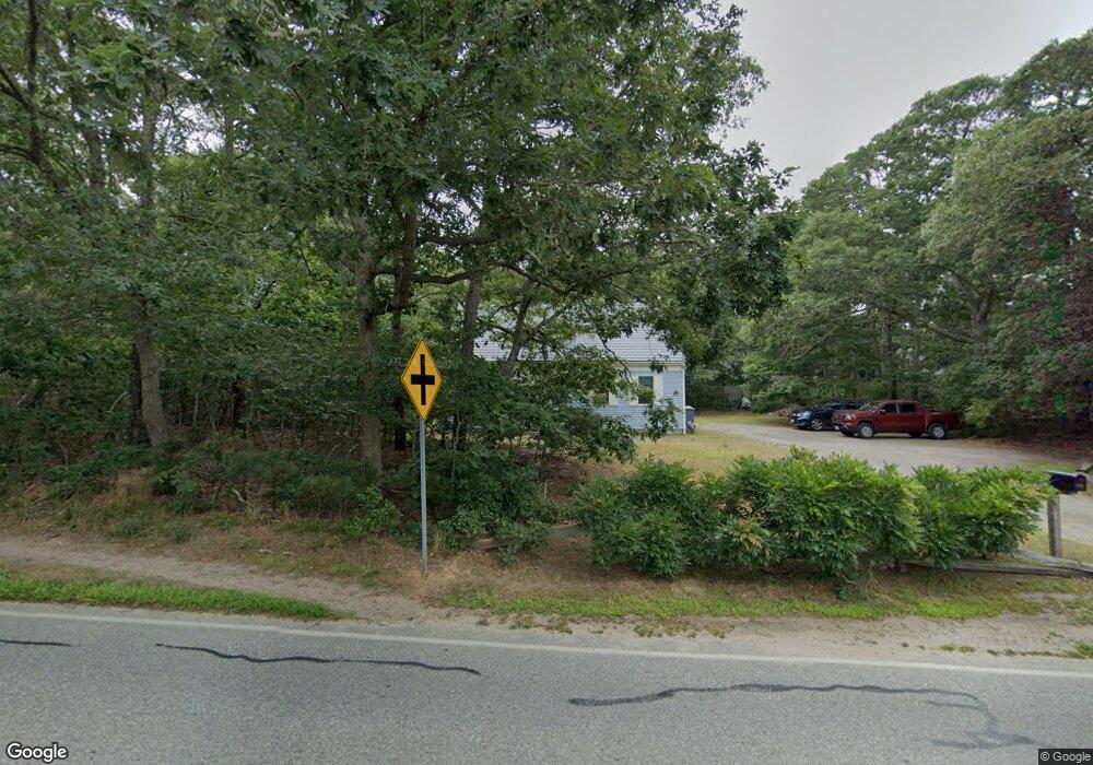
320 Brackett Rd Eastham, MA 02642
Estimated Value: $793,234 - $879,000
3
Beds
2
Baths
1,638
Sq Ft
$508/Sq Ft
Est. Value
About This Home
This home is located at 320 Brackett Rd, Eastham, MA 02642 and is currently estimated at $832,309, approximately $508 per square foot. 320 Brackett Rd is a home located in Barnstable County with nearby schools including Eastham Elementary School, Nauset Regional Middle School, and Nauset Regional High School.
Ownership History
Date
Name
Owned For
Owner Type
Purchase Details
Closed on
Feb 14, 2007
Sold by
Lowe Catherine E and Lowe Daniel W
Bought by
Lowe Catherine E and Perreault Ralph
Current Estimated Value
Purchase Details
Closed on
May 26, 1999
Sold by
Nauset Glen Rt and Barton Nancy Kear
Bought by
Lowe Daniel W and Lowe Catherine E
Home Financials for this Owner
Home Financials are based on the most recent Mortgage that was taken out on this home.
Original Mortgage
$52,250
Interest Rate
6.82%
Mortgage Type
Purchase Money Mortgage
Create a Home Valuation Report for This Property
The Home Valuation Report is an in-depth analysis detailing your home's value as well as a comparison with similar homes in the area
Home Values in the Area
Average Home Value in this Area
Purchase History
| Date | Buyer | Sale Price | Title Company |
|---|---|---|---|
| Lowe Catherine E | $90,000 | -- | |
| Lowe Daniel W | $55,000 | -- |
Source: Public Records
Mortgage History
| Date | Status | Borrower | Loan Amount |
|---|---|---|---|
| Previous Owner | Lowe Daniel W | $100,000 | |
| Previous Owner | Lowe Daniel W | $85,000 | |
| Previous Owner | Lowe Daniel W | $52,250 |
Source: Public Records
Tax History Compared to Growth
Tax History
| Year | Tax Paid | Tax Assessment Tax Assessment Total Assessment is a certain percentage of the fair market value that is determined by local assessors to be the total taxable value of land and additions on the property. | Land | Improvement |
|---|---|---|---|---|
| 2025 | $5,229 | $678,200 | $263,500 | $414,700 |
| 2024 | $4,617 | $658,600 | $255,800 | $402,800 |
| 2023 | $4,287 | $592,100 | $236,900 | $355,200 |
| 2022 | $3,823 | $445,600 | $190,400 | $255,200 |
| 2021 | $9,065 | $407,700 | $173,000 | $234,700 |
| 2020 | $3,457 | $396,400 | $176,600 | $219,800 |
| 2019 | $8,728 | $387,500 | $171,500 | $216,000 |
| 2018 | $3,143 | $376,400 | $166,500 | $209,900 |
| 2017 | $7,446 | $371,300 | $163,200 | $208,100 |
| 2016 | $2,870 | $385,800 | $181,300 | $204,500 |
| 2015 | $2,689 | $378,700 | $177,800 | $200,900 |
Source: Public Records
Map
Nearby Homes
- 72 Dory Ln
- 115 Sparrowhawk Ln
- 35 Old County Rd Unit 1
- 255 Massasoit Rd
- 100 Thoreau Dr
- 1895 Nauset Rd
- 60 Briggs Field Rd
- 45 Starlight Ln
- 10 Alston Ct
- 160 Toland Dr
- 95 Toland Dr
- 65 Cestaro Way
- 10 Field Rd
- 30 Mayflower Rd
- 50 Silver Oak Rd
- 10 Surrey Dr
- 495 Aspinet Rd
- 70 Deerfield Ln
- 10 Kellies Path
- 1285 Massasoit Rd
- 340 Brackett Rd
- 300 Brackett Rd
- 20 Orchard Dr
- 325 Brackett Rd
- 775 Old Orchard Rd
- 30 Orchard Dr
- 330 Brackett Rd
- 10 Danielle Dr
- 280 Brackett Rd
- 40 Orchard Dr
- 5 Dusty Way
- 25 Orchard Dr
- 875 Old Orchard Rd
- 35 Orchard Dr
- 390 Brackett Rd
- 15 Danielle Dr
- 20 Danielle Dr
- 585 Old Orchard Rd
- 780 Old Orchard Rd
- 780 Old Orchard Rd