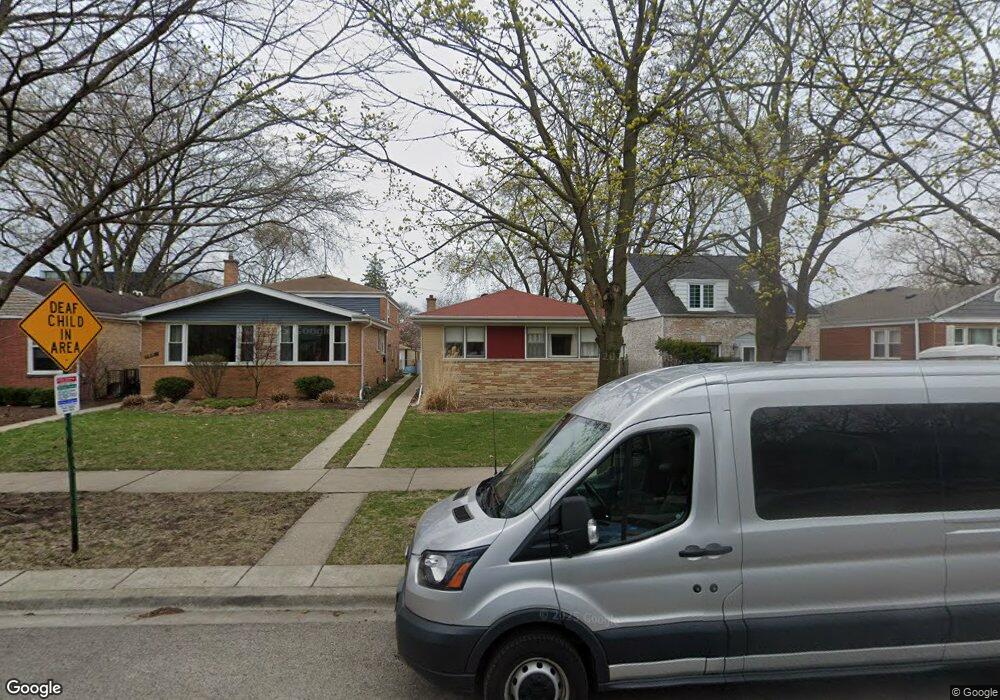
320 Darrow Ave Evanston, IL 60202
Southwest Evanston NeighborhoodEstimated Value: $443,000 - $570,000
4
Beds
3
Baths
1,590
Sq Ft
$327/Sq Ft
Est. Value
About This Home
This home is located at 320 Darrow Ave, Evanston, IL 60202 and is currently estimated at $519,882, approximately $326 per square foot. 320 Darrow Ave is a home located in Cook County with nearby schools including Dawes Elementary School, Chute Middle School, and Evanston Township High School.
Ownership History
Date
Name
Owned For
Owner Type
Purchase Details
Closed on
Sep 7, 2000
Sold by
Komaiko Libby
Bought by
Meyers William D
Current Estimated Value
Home Financials for this Owner
Home Financials are based on the most recent Mortgage that was taken out on this home.
Original Mortgage
$209,950
Outstanding Balance
$73,593
Interest Rate
8.14%
Estimated Equity
$446,289
Create a Home Valuation Report for This Property
The Home Valuation Report is an in-depth analysis detailing your home's value as well as a comparison with similar homes in the area
Home Values in the Area
Average Home Value in this Area
Purchase History
| Date | Buyer | Sale Price | Title Company |
|---|---|---|---|
| Meyers William D | $221,000 | Commonwealth Land Title Ins |
Source: Public Records
Mortgage History
| Date | Status | Borrower | Loan Amount |
|---|---|---|---|
| Open | Meyers William D | $209,950 |
Source: Public Records
Tax History
| Year | Tax Paid | Tax Assessment Tax Assessment Total Assessment is a certain percentage of the fair market value that is determined by local assessors to be the total taxable value of land and additions on the property. | Land | Improvement |
|---|---|---|---|---|
| 2025 | $9,574 | $51,000 | $12,626 | $38,374 |
| 2024 | $9,574 | $45,000 | $10,684 | $34,316 |
| 2023 | $9,140 | $45,000 | $10,684 | $34,316 |
| 2022 | $9,140 | $45,000 | $10,684 | $34,316 |
| 2021 | $8,250 | $36,669 | $7,770 | $28,899 |
| 2020 | $8,246 | $36,669 | $7,770 | $28,899 |
| 2019 | $8,260 | $40,971 | $7,770 | $33,201 |
| 2018 | $8,314 | $36,133 | $6,475 | $29,658 |
| 2017 | $8,125 | $36,133 | $6,475 | $29,658 |
| 2016 | $8,622 | $36,133 | $6,475 | $29,658 |
| 2015 | $7,003 | $28,374 | $5,341 | $23,033 |
| 2014 | $6,951 | $28,374 | $5,341 | $23,033 |
| 2013 | $6,774 | $28,374 | $5,341 | $23,033 |
Source: Public Records
Map
Nearby Homes
- 1800 Kirk St
- 1736 Keeney St
- 2109 Dobson St
- 1517 Dobson St
- 2124 Brummel St
- 1609 Howard St Unit 2
- 1412 Brummel St Unit 2E
- 2123 Howard St Unit 1H
- 1321 Brummel St
- 7516 N California Ave
- 2507 W Howard St
- 538 Wesley Ave
- 1815 Cleveland St
- 1217 Hull Terrace Unit 3A
- 7446 N Rockwell St
- 704 Florence Ave
- 7425 N California Ave
- 1507 Cleveland St
- 1104 Austin St
- 1810 Washington St
Your Personal Tour Guide
Ask me questions while you tour the home.