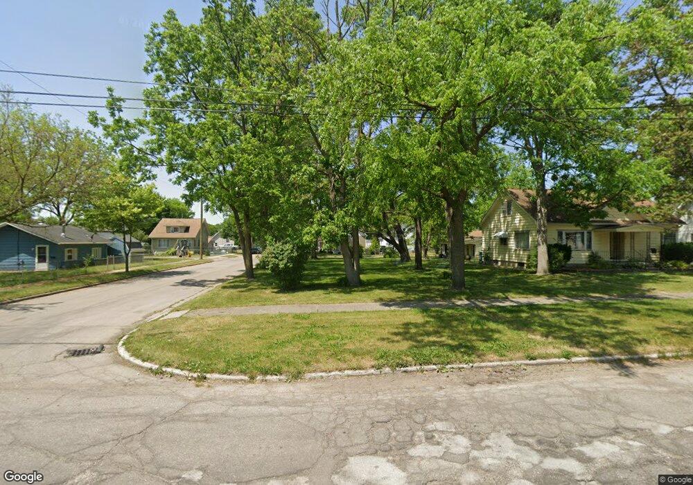
320 Jennison St Bay City, MI 48708
Estimated Value: $89,000 - $106,000
3
Beds
1
Bath
936
Sq Ft
$106/Sq Ft
Est. Value
About This Home
This home is located at 320 Jennison St, Bay City, MI 48708 and is currently estimated at $99,497, approximately $106 per square foot. 320 Jennison St is a home located in Bay County with nearby schools including MacGregor Elementary School, Handy Middle School, and Bay City Central High School.
Ownership History
Date
Name
Owned For
Owner Type
Purchase Details
Closed on
Oct 6, 2017
Sold by
Williams Dawn M
Bought by
Laporte Kevin
Current Estimated Value
Home Financials for this Owner
Home Financials are based on the most recent Mortgage that was taken out on this home.
Original Mortgage
$43,203
Outstanding Balance
$36,087
Interest Rate
3.82%
Mortgage Type
FHA
Estimated Equity
$63,410
Purchase Details
Closed on
Nov 2, 2009
Sold by
Platt Martin L and The Martin L Platt Trust
Bought by
Platt Martin L
Purchase Details
Closed on
Feb 15, 2007
Sold by
Platt Martin L
Bought by
Platt Martin L and The Martin L Platt Trust
Purchase Details
Closed on
Jul 16, 2001
Sold by
Platt Martin
Bought by
Platt, Martin L Trust
Create a Home Valuation Report for This Property
The Home Valuation Report is an in-depth analysis detailing your home's value as well as a comparison with similar homes in the area
Home Values in the Area
Average Home Value in this Area
Purchase History
| Date | Buyer | Sale Price | Title Company |
|---|---|---|---|
| Laporte Kevin | $44,000 | None Available | |
| Platt Martin L | -- | None Available | |
| Platt Martin L | -- | None Available | |
| Platt, Martin L Trust | -- | -- |
Source: Public Records
Mortgage History
| Date | Status | Borrower | Loan Amount |
|---|---|---|---|
| Open | Laporte Kevin | $43,203 |
Source: Public Records
Tax History Compared to Growth
Tax History
| Year | Tax Paid | Tax Assessment Tax Assessment Total Assessment is a certain percentage of the fair market value that is determined by local assessors to be the total taxable value of land and additions on the property. | Land | Improvement |
|---|---|---|---|---|
| 2025 | $1,337 | $43,700 | $0 | $0 |
| 2024 | $1,101 | $38,950 | $0 | $0 |
| 2023 | $1,048 | $33,400 | $0 | $0 |
| 2022 | $1,204 | $30,100 | $0 | $0 |
| 2021 | $1,132 | $29,100 | $29,100 | $0 |
| 2020 | $1,204 | $24,950 | $24,950 | $0 |
| 2019 | $1,178 | $24,300 | $0 | $0 |
| 2018 | $1,171 | $23,850 | $0 | $0 |
| 2017 | $1,570 | $23,350 | $0 | $0 |
| 2016 | $1,683 | $23,400 | $0 | $23,400 |
| 2015 | $1,682 | $23,750 | $0 | $23,750 |
| 2014 | $1,682 | $27,000 | $0 | $27,000 |
Source: Public Records
Map
Nearby Homes
- 406 Stanton St
- 215 Stanton St
- 709 Fraser St
- 618 Stanton St
- 809 28th St
- 1200 Fitzhugh St
- 609 Mccormick St
- 301 Michigan Ave
- 1704 S Jefferson St
- 812 Fitzhugh St
- 807 Fraser St
- 1000 S Monroe St
- 808 19th St
- 1617 Broadway St
- 1221 Marsac St
- 1414 Kosciuszko Ave
- 1208 Wilson St
- 714 S Madison Ave
- 1303 Wilson St
- 413 Franklin St
- 318 Jennison St
- 316 Jennison St
- 321 Stanton St
- 400 Jennison St
- 317 Stanton St
- 311 Stanton St
- 406 Jennison St
- 310 Jennison St
- 401 Stanton St
- 1320 Garfield Ave
- 1400 Garfield Ave
- 405 Stanton St
- 309 Stanton St
- 1312 Garfield Ave
- 306 Jennison St
- 412 Jennison St
- 1310 Garfield Ave
- 307 Stanton St
- 409 Stanton St
- 1402 Garfield Ave
