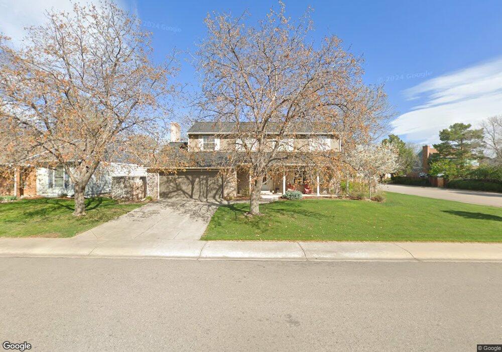
3201 Silverthorne Dr Fort Collins, CO 80526
Woodwest NeighborhoodEstimated Value: $587,733 - $655,000
4
Beds
3
Baths
2,254
Sq Ft
$274/Sq Ft
Est. Value
About This Home
This home is located at 3201 Silverthorne Dr, Fort Collins, CO 80526 and is currently estimated at $617,183, approximately $273 per square foot. 3201 Silverthorne Dr is a home located in Larimer County with nearby schools including Beattie Elementary School, Blevins Middle School, and Rocky Mountain High School.
Ownership History
Date
Name
Owned For
Owner Type
Purchase Details
Closed on
Aug 24, 2001
Sold by
Gavaldon Joseph A and Gavaldon Susan R
Bought by
Siebers William M and Siebers Christine
Current Estimated Value
Home Financials for this Owner
Home Financials are based on the most recent Mortgage that was taken out on this home.
Original Mortgage
$172,000
Outstanding Balance
$66,270
Interest Rate
6.98%
Estimated Equity
$550,913
Purchase Details
Closed on
Jun 1, 1981
Bought by
Gavaldon Joseph A
Create a Home Valuation Report for This Property
The Home Valuation Report is an in-depth analysis detailing your home's value as well as a comparison with similar homes in the area
Home Values in the Area
Average Home Value in this Area
Purchase History
| Date | Buyer | Sale Price | Title Company |
|---|---|---|---|
| Siebers William M | $215,000 | -- | |
| Gavaldon Joseph A | $94,900 | -- |
Source: Public Records
Mortgage History
| Date | Status | Borrower | Loan Amount |
|---|---|---|---|
| Open | Siebers William M | $172,000 |
Source: Public Records
Tax History Compared to Growth
Tax History
| Year | Tax Paid | Tax Assessment Tax Assessment Total Assessment is a certain percentage of the fair market value that is determined by local assessors to be the total taxable value of land and additions on the property. | Land | Improvement |
|---|---|---|---|---|
| 2025 | $3,508 | $40,247 | $3,015 | $37,232 |
| 2024 | $3,338 | $40,247 | $3,015 | $37,232 |
| 2022 | $2,958 | $31,324 | $3,128 | $28,196 |
| 2021 | $2,989 | $32,226 | $3,218 | $29,008 |
| 2020 | $2,885 | $30,831 | $3,218 | $27,613 |
| 2019 | $2,897 | $30,831 | $3,218 | $27,613 |
| 2018 | $2,398 | $26,316 | $3,240 | $23,076 |
| 2017 | $2,390 | $26,316 | $3,240 | $23,076 |
| 2016 | $2,021 | $22,137 | $3,582 | $18,555 |
| 2015 | $2,006 | $22,130 | $3,580 | $18,550 |
| 2014 | $1,842 | $20,190 | $3,580 | $16,610 |
Source: Public Records
Map
Nearby Homes
- 3378 Gunnison Dr
- 3036 Rustic Ct
- 3031 Placer Ct
- 3024 Placer Ct
- 3113 Colony Dr
- 630 Homestead Ct
- 3106 Lymen St
- 1115 W Swallow Rd Unit 20
- 1213 W Swallow Rd Unit 213
- 600 Republic Dr
- 1231 W Swallow Rd Unit 323
- 1231 W Swallow Rd Unit 316
- 1231 W Swallow Rd Unit 314
- 3440 Windmill Dr Unit 5-2
- 3440 Windmill Dr Unit 3-4
- 3565 Windmill Dr Unit 1
- 3565 Windmill Dr Unit N3
- 3318 Hickok Dr Unit C/3
- 431 W Swallow Rd
- 814 Arbor Ave Unit C
- 3207 Silverthorne Dr
- 3142 Worthington Ave
- 3113 Silverthorne Dr
- 3213 Silverthorne Dr
- 3200 Silverthorne Dr
- 3146 Worthington Ave
- 3136 Worthington Ave
- 3219 Silverthorne Dr
- 3106 Silverthorne Dr
- 3212 Silverthorne Dr
- 3150 Worthington Ave
- 3107 Silverthorne Dr
- 3130 Worthington Ave
- 737 Blue Mesa Ave
- 3143 Worthington Ave
- 3137 Worthington Ave
- 3218 Silverthorne Dr
- 3225 Silverthorne Dr
- 3200 Fairplay Ct
- 3147 Worthington Ave