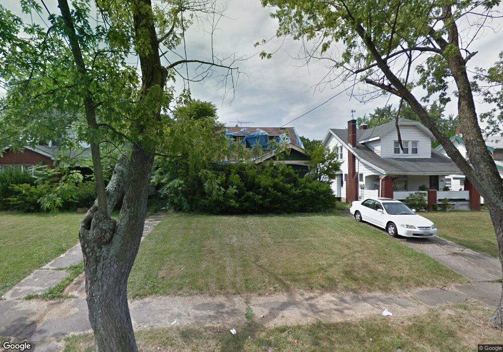
321 E Judson Ave Youngstown, OH 44507
Cottage Grove NeighborhoodEstimated Value: $17,691 - $386,000
4
Beds
1
Bath
1,940
Sq Ft
$90/Sq Ft
Est. Value
About This Home
This home is located at 321 E Judson Ave, Youngstown, OH 44507 and is currently estimated at $175,423, approximately $90 per square foot. 321 E Judson Ave is a home located in Mahoning County with nearby schools including Taft Elementary School, Williamson Elementary School, and East High School.
Ownership History
Date
Name
Owned For
Owner Type
Purchase Details
Closed on
Mar 8, 2022
Bought by
Tarver Melissa Rochelle
Current Estimated Value
Purchase Details
Closed on
Jun 27, 2018
Sold by
First National Bank Of Arizona
Bought by
Mahoning County Land Reutilization Corp
Purchase Details
Closed on
Oct 8, 2008
Sold by
Banno Shamil M and Banno Shamil
Bought by
First National Bank Of Arizona
Purchase Details
Closed on
Dec 17, 2002
Sold by
Development Secretary Of Housing & Urban
Bought by
Banno Shamil
Purchase Details
Closed on
Dec 7, 2001
Sold by
Moore Laronda Jean and Moore John
Bought by
Hud
Create a Home Valuation Report for This Property
The Home Valuation Report is an in-depth analysis detailing your home's value as well as a comparison with similar homes in the area
Home Values in the Area
Average Home Value in this Area
Purchase History
| Date | Buyer | Sale Price | Title Company |
|---|---|---|---|
| Tarver Melissa Rochelle | -- | -- | |
| Mahoning County Land Reutilization Corp | $6,079 | None Available | |
| First National Bank Of Arizona | $24,000 | None Available | |
| Banno Shamil | $8,500 | Lakeside Title & Escrow Agen | |
| Hud | -- | -- |
Source: Public Records
Tax History
| Year | Tax Paid | Tax Assessment Tax Assessment Total Assessment is a certain percentage of the fair market value that is determined by local assessors to be the total taxable value of land and additions on the property. | Land | Improvement |
|---|---|---|---|---|
| 2025 | $9 | $200 | $200 | -- |
| 2024 | $10 | $200 | $200 | -- |
| 2023 | $10 | $200 | $200 | $0 |
| 2022 | $0 | $220 | $220 | $0 |
| 2021 | $828 | $220 | $220 | $0 |
| 2020 | $828 | $220 | $220 | $0 |
| 2019 | $828 | $200 | $200 | $0 |
| 2018 | $3,747 | $200 | $200 | $0 |
| 2017 | $1,364 | $200 | $200 | $0 |
| 2016 | $525 | $1,090 | $650 | $440 |
| 2015 | $547 | $3,370 | $650 | $2,720 |
| 2014 | $219 | $3,370 | $650 | $2,720 |
| 2013 | $217 | $3,370 | $650 | $2,720 |
Source: Public Records
Map
Nearby Homes
- 359 Potomac Ave
- 3919 Rush Blvd
- 320 E Auburndale Ave
- 178 E Ravenwood Ave
- 4038 Sunset Blvd
- 192 Hollywood Ave
- 582 Roxbury Ave
- 173 Clarencedale Ave
- 124 E Midlothian Blvd
- 715 Roxbury Ave
- 4206 Rush Blvd
- 3005 Rush Blvd
- 196 Maywood Dr
- 72 Labelle Ave
- 4127 Southern Blvd
- 4212 South Ave
- 32 E Avondale Ave
- 328 Marmion Ave
- 3916 Howard St
- 23 E Boston Ave
- 311 E Judson Ave
- 323 E Judson Ave
- 309 E Judson Ave
- 329 E Judson Ave
- 307 E Judson Ave
- 322 Potomac Ave
- 331 E Judson Ave
- 316 Potomac Ave
- 326 Potomac Ave Unit 328
- 328 Potomac Ave Unit 328
- 312 Potomac Ave
- 330 Potomac Ave
- 326 E Judson Ave
- 303 E Judson Ave
- 324 E Judson Ave
- 306 Potomac Ave
- 316 E Judson Ave
- 328 E Judson Ave
- 337 E Judson Ave
- 349 E Judson Ave
Your Personal Tour Guide
Ask me questions while you tour the home.