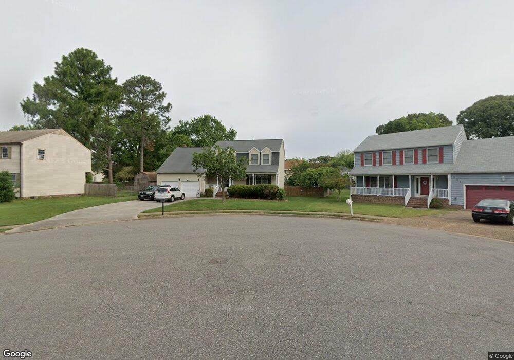
321 Riverside Dr Hampton, VA 23669
Phoebus NeighborhoodEstimated Value: $400,000 - $478,000
4
Beds
3
Baths
3,000
Sq Ft
$146/Sq Ft
Est. Value
About This Home
This home is located at 321 Riverside Dr, Hampton, VA 23669 and is currently estimated at $437,814, approximately $145 per square foot. 321 Riverside Dr is a home located in Hampton City with nearby schools including Capt. John Smith Elementary School, Benjamin Syms Middle School, and Kecoughtan High School.
Ownership History
Date
Name
Owned For
Owner Type
Purchase Details
Closed on
Dec 9, 2010
Sold by
Tidewater Property Investments
Bought by
Yousef Abdeldayem and Yousef Mohammad A
Current Estimated Value
Home Financials for this Owner
Home Financials are based on the most recent Mortgage that was taken out on this home.
Original Mortgage
$217,690
Outstanding Balance
$144,918
Interest Rate
4.37%
Mortgage Type
FHA
Estimated Equity
$292,897
Purchase Details
Closed on
Mar 20, 2006
Sold by
Bowles Eugene E
Bought by
Tidewater Prop Investments
Create a Home Valuation Report for This Property
The Home Valuation Report is an in-depth analysis detailing your home's value as well as a comparison with similar homes in the area
Home Values in the Area
Average Home Value in this Area
Purchase History
| Date | Buyer | Sale Price | Title Company |
|---|---|---|---|
| Yousef Abdeldayem | $247,900 | -- | |
| Tidewater Prop Investments | $235,500 | -- |
Source: Public Records
Mortgage History
| Date | Status | Borrower | Loan Amount |
|---|---|---|---|
| Open | Yousef Abdeldayem | $217,690 |
Source: Public Records
Tax History
| Year | Tax Paid | Tax Assessment Tax Assessment Total Assessment is a certain percentage of the fair market value that is determined by local assessors to be the total taxable value of land and additions on the property. | Land | Improvement |
|---|---|---|---|---|
| 2025 | $4,887 | $425,300 | $75,000 | $350,300 |
| 2024 | $4,630 | $402,600 | $75,000 | $327,600 |
| 2023 | $4,594 | $396,000 | $75,000 | $321,000 |
| 2022 | $4,007 | $339,600 | $70,000 | $269,600 |
| 2021 | $3,705 | $288,300 | $66,800 | $221,500 |
| 2020 | $3,626 | $292,400 | $66,800 | $225,600 |
| 2019 | $3,016 | $243,200 | $66,800 | $176,400 |
| 2018 | $3,110 | $243,200 | $66,800 | $176,400 |
| 2017 | $3,110 | $0 | $0 | $0 |
| 2016 | $3,110 | $243,200 | $0 | $0 |
| 2015 | $3,110 | $0 | $0 | $0 |
| 2014 | $3,473 | $243,200 | $66,800 | $176,400 |
Source: Public Records
Map
Nearby Homes
- 413 Elizabeth Lake Dr
- 54 George Ct
- 124 Southerland Dr
- 304 Woodland Rd
- 526 Elizabeth Lake Dr
- 10 Westley Ct
- 1810 Beall Dr
- 417 Woodland Rd
- 1314 Saxton Dr
- 54 Mohawk Rd
- 1307 Colebrook Dr
- 55 Calhoun St
- 1814 Somerville Dr
- 51 Calhoun St
- 1841 Kensington Dr
- 122 Chichester Ave
- 15 Gayle St
- 24 Saint Albans Dr
- 1445 Oakcrest Dr
- 246 Dockside Dr Unit C
- 319 Riverside Dr
- 323 Riverside Dr
- 326 Lakeland Dr
- 324 Lakeland Dr
- 328 Lakeland Dr
- 325 Riverside Dr
- 315 Riverside Dr
- 322 Lakeland Dr
- 324 Riverside Dr
- 322 Riverside Dr
- 320 Riverside Dr
- 318 Riverside Dr
- 323 Lakeland Dr
- 313 Riverside Dr
- 316 Riverside Dr
- 327 Lakeland Dr
- 33 Riverside Dr
- 330 Lakeland Dr
- 320 Lakeland Dr
- 319 Lakeland Dr
Your Personal Tour Guide
Ask me questions while you tour the home.