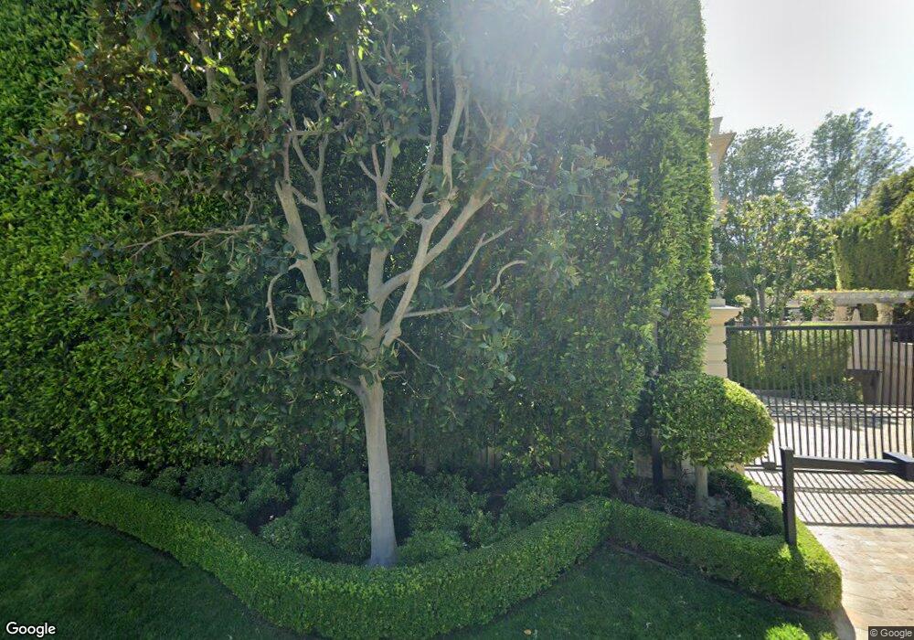
321 St Pierre Rd Los Angeles, CA 90077
Bel Air NeighborhoodEstimated Value: $4,427,000
5
Beds
8
Baths
16,793
Sq Ft
$264/Sq Ft
Est. Value
About This Home
This home is located at 321 St Pierre Rd, Los Angeles, CA 90077 and is currently estimated at $4,427,000, approximately $263 per square foot. 321 St Pierre Rd is a home located in Los Angeles County with nearby schools including Warner Avenue Elementary, Ralph Waldo Emerson Community Charter Middle School, and University High School Charter.
Ownership History
Date
Name
Owned For
Owner Type
Purchase Details
Closed on
Mar 20, 2023
Sold by
Sands Corrine
Bought by
Corrine Sands 2012 Grantor Exempt Trust and Sands
Current Estimated Value
Purchase Details
Closed on
Feb 5, 2004
Sold by
Stack Rosemarie and The Stack Family Trust
Bought by
Sands Leonard and Sands Corrine
Home Financials for this Owner
Home Financials are based on the most recent Mortgage that was taken out on this home.
Original Mortgage
$4,000,000
Interest Rate
5.61%
Mortgage Type
Purchase Money Mortgage
Purchase Details
Closed on
Oct 4, 1996
Sold by
Sands Family Trust
Bought by
Sands Corrine
Create a Home Valuation Report for This Property
The Home Valuation Report is an in-depth analysis detailing your home's value as well as a comparison with similar homes in the area
Home Values in the Area
Average Home Value in this Area
Purchase History
| Date | Buyer | Sale Price | Title Company |
|---|---|---|---|
| Corrine Sands 2012 Grantor Exempt Trust | $36,818,181 | None Listed On Document | |
| Sands Leonard | -- | Equity Title Company | |
| Sands Corrine | -- | -- |
Source: Public Records
Mortgage History
| Date | Status | Borrower | Loan Amount |
|---|---|---|---|
| Previous Owner | Sands Leonard | $4,000,000 |
Source: Public Records
Tax History Compared to Growth
Tax History
| Year | Tax Paid | Tax Assessment Tax Assessment Total Assessment is a certain percentage of the fair market value that is determined by local assessors to be the total taxable value of land and additions on the property. | Land | Improvement |
|---|---|---|---|---|
| 2025 | $273,869 | $23,094,377 | $14,110,533 | $8,983,844 |
| 2024 | $273,869 | $22,641,547 | $13,833,856 | $8,807,691 |
| 2023 | $279,857 | $23,146,002 | $10,625,216 | $12,520,786 |
| 2022 | $266,732 | $22,692,160 | $10,416,879 | $12,275,281 |
| 2021 | $263,571 | $22,247,217 | $10,212,627 | $12,034,590 |
| 2019 | $255,530 | $21,587,355 | $9,909,716 | $11,677,639 |
| 2018 | $254,677 | $21,164,074 | $9,715,408 | $11,448,666 |
| 2016 | $243,708 | $20,342,249 | $9,338,148 | $11,004,101 |
| 2015 | $240,095 | $20,036,691 | $9,197,881 | $10,838,810 |
| 2014 | $240,683 | $19,644,201 | $9,017,708 | $10,626,493 |
Source: Public Records
Map
Nearby Homes
- 259 St Pierre Rd
- 235 St Pierre Rd
- 332 Bel Air Rd
- 422 Parkwood Dr
- 112 N Beverly Glen Blvd
- 101 Bel Air Rd
- 615 N Faring Rd
- 655 N Faring Rd
- 133 S Mapleton Dr
- 677 N Faring Rd
- 805 Nimes Place
- 677 Nimes Rd
- 327 Delfern Dr
- 344 Delfern Dr
- 729 Bel Air Rd
- 701 Nimes Rd
- 200 S Mapleton Dr
- 725 N Faring Rd
- 1188 Brooklawn Dr
- 948 Bel Air Rd
- 303 St Pierre Rd
- 345 St Pierre Rd
- 348 St Cloud Rd
- 364 St Cloud Rd
- 338 St Pierre Rd
- 332 St Cloud Rd
- 356 Saint Pierre Rd
- 356 St Pierre Rd
- 277 St Pierre Rd
- 300 St Pierre Rd
- 315 N Beverly Glen Blvd
- 498 St Pierre Rd
- 268 St Pierre Rd
- 268 Bel Air Rd
- 400 St Cloud Rd
- 355 St Cloud Rd
- 401 St Cloud Rd
- 347 St Cloud Rd
- 310 St Cloud Rd
- 414 St Pierre Rd
