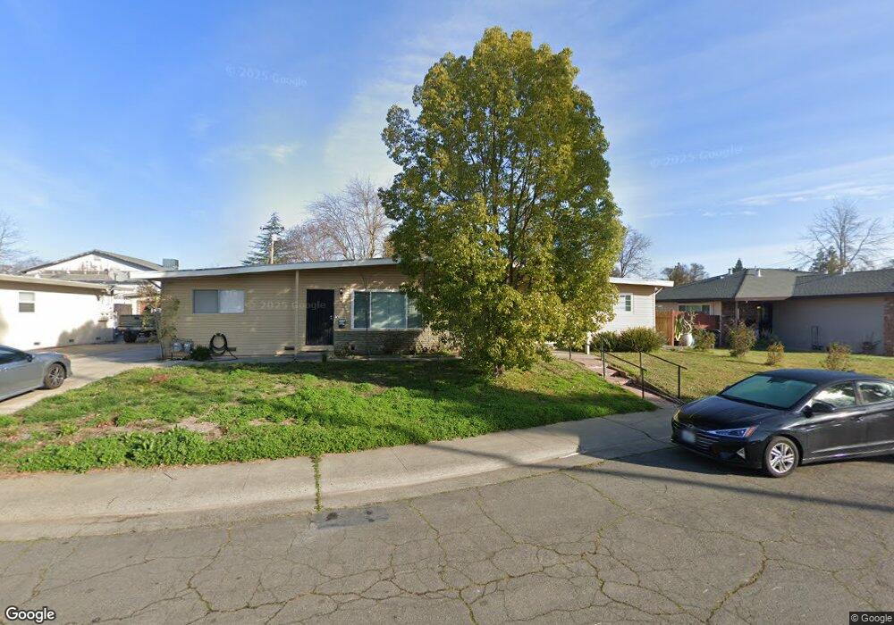
3235 Mayer Way Carmichael, CA 95608
Carmichael Town Center NeighborhoodEstimated Value: $526,000 - $730,000
4
Beds
2
Baths
2,598
Sq Ft
$237/Sq Ft
Est. Value
About This Home
This home is located at 3235 Mayer Way, Carmichael, CA 95608 and is currently estimated at $615,369, approximately $236 per square foot. 3235 Mayer Way is a home located in Sacramento County with nearby schools including Carmichael Elementary School, John Barrett Middle School, and Del Campo High School.
Ownership History
Date
Name
Owned For
Owner Type
Purchase Details
Closed on
Jun 16, 2014
Sold by
Sherman Amy and Ralph A Grear Family 1993 Trus
Bought by
Brown Glenn and Brown Deena
Current Estimated Value
Purchase Details
Closed on
Oct 23, 2005
Sold by
Grear Ralph A and Grear Anita E
Bought by
Grear Ralph A and Grear Anita E
Purchase Details
Closed on
Jul 5, 2002
Sold by
Washburn Nora Lee and Estate Of Betty Lou Yvonne Kun
Bought by
Grear Ralph A and Grear Anita E
Home Financials for this Owner
Home Financials are based on the most recent Mortgage that was taken out on this home.
Original Mortgage
$181,585
Interest Rate
6.71%
Create a Home Valuation Report for This Property
The Home Valuation Report is an in-depth analysis detailing your home's value as well as a comparison with similar homes in the area
Home Values in the Area
Average Home Value in this Area
Purchase History
| Date | Buyer | Sale Price | Title Company |
|---|---|---|---|
| Brown Glenn | $245,000 | Fidelity National Title Co | |
| Grear Ralph A | -- | -- | |
| Grear Ralph A | $255,000 | Fidelity National Title Co |
Source: Public Records
Mortgage History
| Date | Status | Borrower | Loan Amount |
|---|---|---|---|
| Previous Owner | Grear Ralph A | $181,585 |
Source: Public Records
Tax History
| Year | Tax Paid | Tax Assessment Tax Assessment Total Assessment is a certain percentage of the fair market value that is determined by local assessors to be the total taxable value of land and additions on the property. | Land | Improvement |
|---|---|---|---|---|
| 2025 | $3,570 | $300,324 | $104,194 | $196,130 |
| 2024 | $3,570 | $294,436 | $102,151 | $192,285 |
| 2023 | $3,514 | $288,664 | $100,149 | $188,515 |
| 2022 | $3,444 | $283,005 | $98,186 | $184,819 |
| 2021 | $3,387 | $277,457 | $96,261 | $181,196 |
| 2020 | $3,324 | $274,613 | $95,274 | $179,339 |
| 2019 | $3,257 | $269,229 | $93,406 | $175,823 |
| 2018 | $3,217 | $263,951 | $91,575 | $172,376 |
| 2017 | $3,189 | $258,777 | $89,780 | $168,997 |
| 2016 | $2,979 | $253,704 | $88,020 | $165,684 |
| 2015 | $2,971 | $249,894 | $86,698 | $163,196 |
| 2014 | $3,564 | $301,267 | $82,698 | $218,569 |
Source: Public Records
Map
Nearby Homes
- 5113 Walnut Garden Ct
- 3312 Jayanne Way
- 5151 Janell Way
- 3332 Jayanne Way
- 3431 Hunter Ln
- 3041 Root Ave
- 5236 Marconi Ave
- 4532 Foster Way
- 4905 Heatherdale Ln
- 2905 Garfield Ave
- 4719 Eli Ct
- 2855 La Colina Way
- 4740 Whitney Ave
- 3125 Colorado St
- 5631 Engle Rd
- 5213 Gibbons Dr
- 5530 Kenneth Ave
- 2953 Leta Ln
- 4007 Oak Villa Cir
- 4016 Knoll Top Ct
Your Personal Tour Guide
Ask me questions while you tour the home.