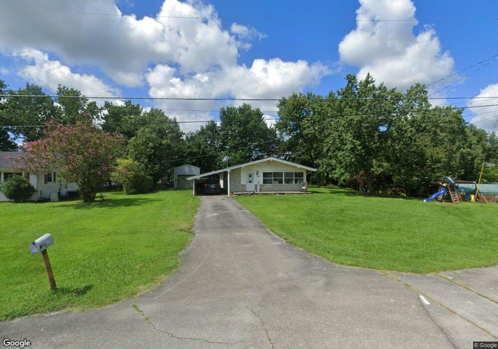
325 Alpine Loop Mosheim, TN 37818
Estimated Value: $148,000 - $187,000
Studio
1
Bath
1,064
Sq Ft
$153/Sq Ft
Est. Value
About This Home
This home is located at 325 Alpine Loop, Mosheim, TN 37818 and is currently estimated at $163,219, approximately $153 per square foot. 325 Alpine Loop is a home located in Greene County with nearby schools including Mosheim Elementary School, West Greene Middle Schools, and West Greene High School.
Ownership History
Date
Name
Owned For
Owner Type
Purchase Details
Closed on
Oct 21, 2021
Sold by
Reynolds William and Reynolds Kathryn
Bought by
Jennings Keith Allen and Jennings Heather
Current Estimated Value
Home Financials for this Owner
Home Financials are based on the most recent Mortgage that was taken out on this home.
Original Mortgage
$80,000
Outstanding Balance
$72,635
Interest Rate
2.8%
Mortgage Type
New Conventional
Estimated Equity
$90,584
Purchase Details
Closed on
Dec 11, 1991
Bought by
Reynolds William C Kathryn
Purchase Details
Closed on
Jan 1, 1985
Bought by
White Conway Paul Mary
Create a Home Valuation Report for This Property
The Home Valuation Report is an in-depth analysis detailing your home's value as well as a comparison with similar homes in the area
Purchase History
| Date | Buyer | Sale Price | Title Company |
|---|---|---|---|
| Jennings Keith Allen | $80,000 | Reliable Title & Escrow Llc | |
| Reynolds William C Kathryn | $19,500 | -- | |
| White Conway Paul Mary | $15,000 | -- |
Source: Public Records
Mortgage History
| Date | Status | Borrower | Loan Amount |
|---|---|---|---|
| Open | Jennings Keith Allen | $80,000 |
Source: Public Records
Tax History
| Year | Tax Paid | Tax Assessment Tax Assessment Total Assessment is a certain percentage of the fair market value that is determined by local assessors to be the total taxable value of land and additions on the property. | Land | Improvement |
|---|---|---|---|---|
| 2025 | $479 | $29,025 | $5,200 | $23,825 |
| 2024 | $479 | $29,025 | $5,200 | $23,825 |
| 2023 | $0 | $29,025 | $0 | $0 |
| 2022 | $259 | $12,875 | $3,300 | $9,575 |
| 2021 | $259 | $12,875 | $3,300 | $9,575 |
| 2020 | $259 | $12,875 | $3,300 | $9,575 |
| 2019 | $259 | $12,875 | $3,300 | $9,575 |
| 2018 | $259 | $12,875 | $3,300 | $9,575 |
| 2017 | $266 | $13,475 | $3,300 | $10,175 |
| 2016 | $252 | $13,475 | $3,300 | $10,175 |
| 2015 | $252 | $13,475 | $3,300 | $10,175 |
| 2014 | $237 | $12,675 | $3,300 | $9,375 |
Source: Public Records
Map
Nearby Homes
- 0 Iris St E
- 390 Main St
- 560 Main St
- 35 Windsor St
- 7958 Blue Springs Pkwy
- 10 Unaka Dr
- 135 Walton Cir
- 220 Redwood Ln
- 541 Big Springs Dr
- 210 Raders Sidetrack Rd
- 1370 Iron Bridge Rd
- 2 Ac Dulaney Rd
- 40 Iron Bridge Rd
- 2205 Brown Springs Rd
- 2440 Mount Carmel Rd
- 1345 Midway Rd
- 40 Mount Pleasant Cir
- 4522 Blue Springs Pkwy
- 545 Mcmillan Rd
- 965 Mcmillan Rd
Your Personal Tour Guide
Ask me questions while you tour the home.