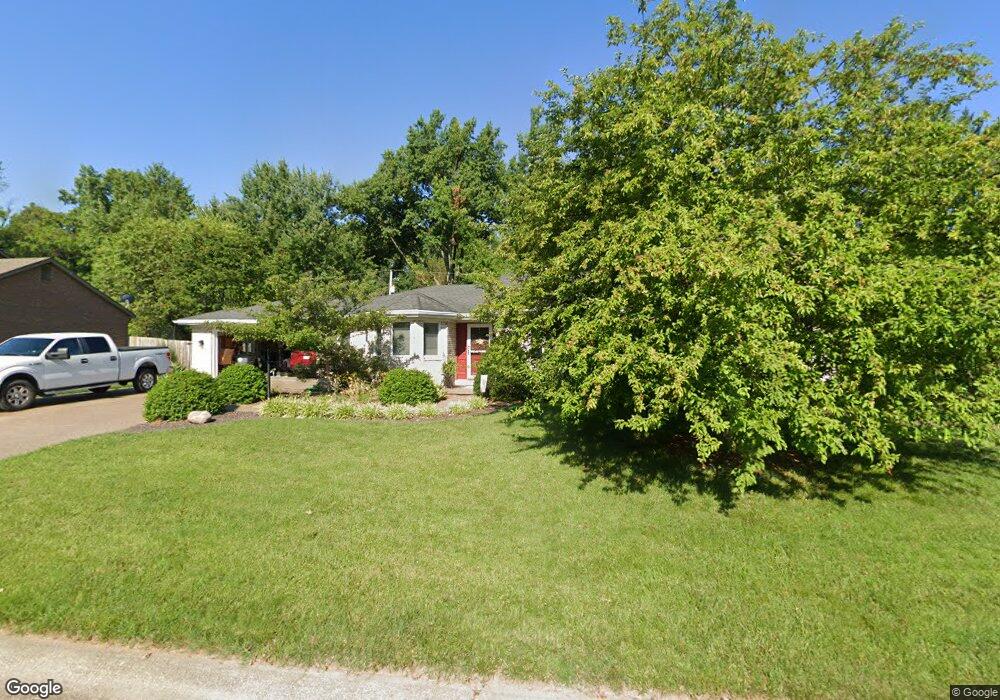
325 Lant Ln Evansville, IN 47715
Estimated Value: $316,318 - $352,000
3
Beds
2
Baths
2,036
Sq Ft
$164/Sq Ft
Est. Value
About This Home
This home is located at 325 Lant Ln, Evansville, IN 47715 and is currently estimated at $334,580, approximately $164 per square foot. 325 Lant Ln is a home located in Vanderburgh County with nearby schools including Hebron Elementary School, Plaza Park International Prep Academy, and William Henry Harrison High School.
Ownership History
Date
Name
Owned For
Owner Type
Purchase Details
Closed on
Sep 14, 2007
Sold by
Mccall Marilyn and Marilyn Mccall Trust
Bought by
Sanner Stephen M and Sanner Diana M
Current Estimated Value
Home Financials for this Owner
Home Financials are based on the most recent Mortgage that was taken out on this home.
Original Mortgage
$148,000
Interest Rate
6.33%
Mortgage Type
New Conventional
Create a Home Valuation Report for This Property
The Home Valuation Report is an in-depth analysis detailing your home's value as well as a comparison with similar homes in the area
Home Values in the Area
Average Home Value in this Area
Purchase History
| Date | Buyer | Sale Price | Title Company |
|---|---|---|---|
| Sanner Stephen M | -- | None Available |
Source: Public Records
Mortgage History
| Date | Status | Borrower | Loan Amount |
|---|---|---|---|
| Closed | Sanner Stephen M | $148,000 |
Source: Public Records
Tax History Compared to Growth
Tax History
| Year | Tax Paid | Tax Assessment Tax Assessment Total Assessment is a certain percentage of the fair market value that is determined by local assessors to be the total taxable value of land and additions on the property. | Land | Improvement |
|---|---|---|---|---|
| 2024 | $3,021 | $281,100 | $32,700 | $248,400 |
| 2023 | $3,333 | $309,200 | $35,900 | $273,300 |
| 2022 | $2,768 | $254,700 | $35,900 | $218,800 |
| 2021 | $2,535 | $230,100 | $35,900 | $194,200 |
| 2020 | $2,282 | $212,200 | $35,900 | $176,300 |
| 2019 | $2,270 | $212,300 | $35,900 | $176,400 |
| 2018 | $2,306 | $213,000 | $35,900 | $177,100 |
| 2017 | $2,292 | $210,600 | $35,900 | $174,700 |
| 2016 | $2,217 | $203,600 | $35,900 | $167,700 |
| 2014 | $2,217 | $204,900 | $35,900 | $169,000 |
| 2013 | -- | $187,400 | $35,900 | $151,500 |
Source: Public Records
Map
Nearby Homes
- 211 Rosemarie Ct
- 113 Montclair Ct
- 6405 Highcroft Dr
- 6412 E Oak St
- 5900 Newburgh Rd
- 5614 Winthrop Ct
- 6616 E Chestnut St
- 712 Cobblestone Dr
- 401 Wilson Square
- 600 S Cullen Ave Unit 404
- 745 Royal Ave
- 229 Plaza Dr
- 6808 Lincoln Ave
- 120 Hampton Ct
- 5400 E Powell Ave
- 908 Stewart Ave
- 915 Royal Ave
- 816 Southfield Rd
- 6509 Newburgh Rd
- 501 Oriole Dr