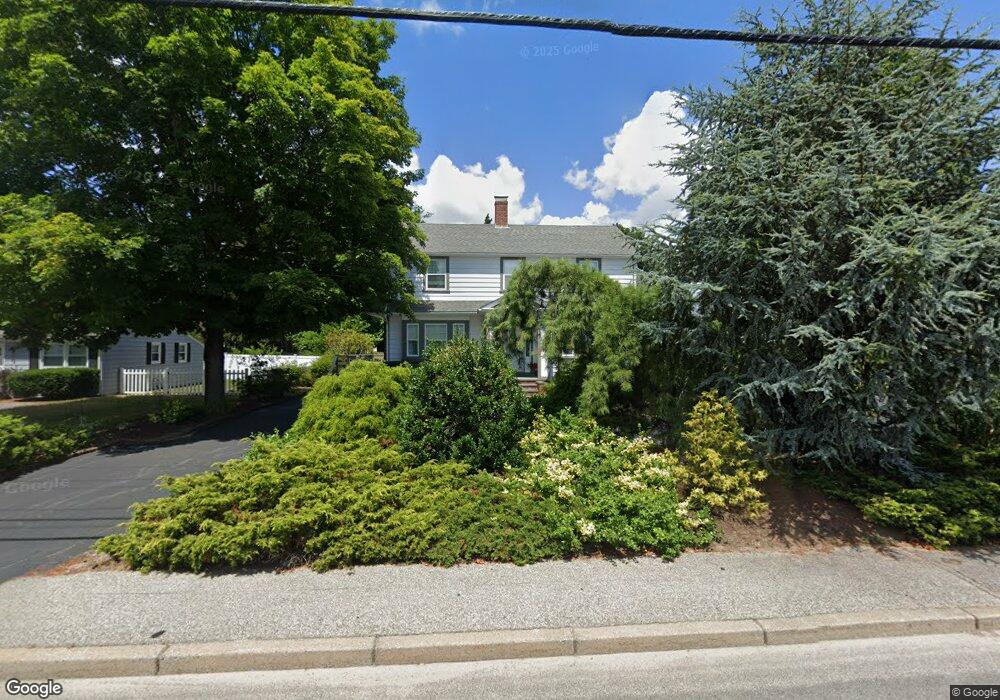
3269 W Shore Rd Warwick, RI 02886
Greenwood NeighborhoodEstimated Value: $513,000 - $542,013
4
Beds
3
Baths
2,116
Sq Ft
$250/Sq Ft
Est. Value
About This Home
This home is located at 3269 W Shore Rd, Warwick, RI 02886 and is currently estimated at $529,503, approximately $250 per square foot. 3269 W Shore Rd is a home located in Kent County with nearby schools including St Rose Of Lima School and Eleanor Briggs School.
Ownership History
Date
Name
Owned For
Owner Type
Purchase Details
Closed on
Nov 29, 2000
Sold by
Equity Finders
Bought by
Knight Frank A and Knight Debra A
Current Estimated Value
Home Financials for this Owner
Home Financials are based on the most recent Mortgage that was taken out on this home.
Original Mortgage
$112,000
Outstanding Balance
$40,378
Interest Rate
7.76%
Estimated Equity
$489,125
Create a Home Valuation Report for This Property
The Home Valuation Report is an in-depth analysis detailing your home's value as well as a comparison with similar homes in the area
Home Values in the Area
Average Home Value in this Area
Purchase History
| Date | Buyer | Sale Price | Title Company |
|---|---|---|---|
| Knight Frank A | $140,000 | -- |
Source: Public Records
Mortgage History
| Date | Status | Borrower | Loan Amount |
|---|---|---|---|
| Open | Knight Frank A | $112,000 |
Source: Public Records
Tax History Compared to Growth
Tax History
| Year | Tax Paid | Tax Assessment Tax Assessment Total Assessment is a certain percentage of the fair market value that is determined by local assessors to be the total taxable value of land and additions on the property. | Land | Improvement |
|---|---|---|---|---|
| 2025 | $5,456 | $429,600 | $121,100 | $308,500 |
| 2024 | $5,383 | $372,000 | $95,800 | $276,200 |
| 2023 | $5,279 | $372,000 | $95,800 | $276,200 |
| 2022 | $5,286 | $282,200 | $76,600 | $205,600 |
| 2021 | $5,286 | $282,200 | $76,600 | $205,600 |
| 2020 | $5,286 | $282,200 | $76,600 | $205,600 |
| 2019 | $5,286 | $282,200 | $76,600 | $205,600 |
| 2018 | $5,200 | $250,000 | $76,700 | $173,300 |
| 2017 | $5,060 | $250,000 | $76,700 | $173,300 |
| 2016 | $5,060 | $250,000 | $76,700 | $173,300 |
| 2015 | $5,449 | $262,600 | $69,400 | $193,200 |
| 2014 | $5,268 | $262,600 | $69,400 | $193,200 |
| 2013 | $5,197 | $262,600 | $69,400 | $193,200 |
Source: Public Records
Map
Nearby Homes
- 3383 W Shore Rd
- 16 Arrow Ave
- 36 Bowen Briggs Ave
- 45 Tourtelot Ave
- 74 Stephens Ave
- 3524 W Shore Rd Unit 215
- 62 Red Maple Ln
- 67 Oak Tree Ave
- 299 George Arden Ave
- 3539 W Shore Rd
- 106 Child Ln
- 28 Bakers Creek Rd
- 38 Red Maple Ln
- 79 Carpenter St
- 3 Grant St
- 66 Dory Rd
- 132 Bakers Creek Rd
- 345 Nausauket Rd
- 37 George Arden Ave
- 85 Union Ave
- 108 Normandy Dr
- 98 Normandy Dr
- 3275 W Shore Rd
- 3257 W Shore Rd
- 90 Normandy Dr
- 170 Brunswick Dr
- 164 Brunswick Dr
- 3266 W Shore Rd
- 76 Normandy Dr
- 158 Brunswick Dr
- 99 Normandy Dr
- 91 Normandy Dr
- 3246 W Shore Rd
- 85 Normandy Dr
- 152 Brunswick Dr
- 3235 W Shore Rd
- 3284 W Shore Rd
- 15 Kylie Jillian Ct
- 79 Normandy Dr
- 157 Brunswick Dr