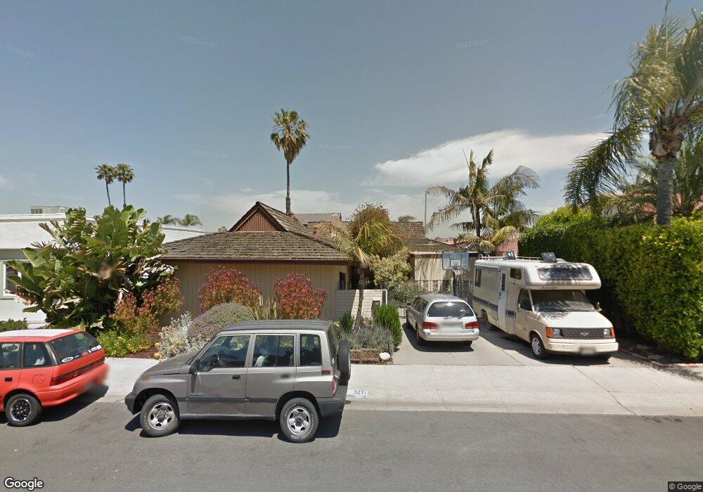
3271 Devon Cir Huntington Beach, CA 92649
Sunset Beach NeighborhoodEstimated Value: $2,726,601 - $3,358,000
5
Beds
4
Baths
2,720
Sq Ft
$1,112/Sq Ft
Est. Value
About This Home
This home is located at 3271 Devon Cir, Huntington Beach, CA 92649 and is currently estimated at $3,025,150, approximately $1,112 per square foot. 3271 Devon Cir is a home located in Orange County with nearby schools including Agnes L. Smith Elementary, Ethel Dwyer Middle, and Huntington Beach High School.
Ownership History
Date
Name
Owned For
Owner Type
Purchase Details
Closed on
Jul 21, 2005
Sold by
Gonzalez Susan Jane Brady
Bought by
Brady Timothy M and Brady Jane Rowland
Current Estimated Value
Purchase Details
Closed on
Feb 12, 2004
Sold by
Gonzalez Susan Jane Brady and Brady Timothy Mark
Bought by
Gonzalez Susan Jane Brady and Timothy Marks Brady Trust
Purchase Details
Closed on
Jan 15, 2002
Sold by
Brady Edward S
Bought by
Brady Edward S and Brady Revocable Living Trust
Create a Home Valuation Report for This Property
The Home Valuation Report is an in-depth analysis detailing your home's value as well as a comparison with similar homes in the area
Home Values in the Area
Average Home Value in this Area
Purchase History
| Date | Buyer | Sale Price | Title Company |
|---|---|---|---|
| Brady Timothy M | -- | None Available | |
| Gonzalez Susan Jane Brady | -- | -- | |
| Brady Edward S | -- | -- |
Source: Public Records
Tax History
| Year | Tax Paid | Tax Assessment Tax Assessment Total Assessment is a certain percentage of the fair market value that is determined by local assessors to be the total taxable value of land and additions on the property. | Land | Improvement |
|---|---|---|---|---|
| 2025 | $2,903 | $232,269 | $90,233 | $142,036 |
| 2024 | $2,903 | $227,715 | $88,464 | $139,251 |
| 2023 | $2,835 | $223,250 | $86,729 | $136,521 |
| 2022 | $2,760 | $218,873 | $85,028 | $133,845 |
| 2021 | $2,710 | $214,582 | $83,361 | $131,221 |
| 2020 | $2,691 | $212,382 | $82,506 | $129,876 |
| 2019 | $2,662 | $208,218 | $80,888 | $127,330 |
| 2018 | $2,622 | $204,136 | $79,302 | $124,834 |
| 2017 | $2,588 | $200,134 | $77,747 | $122,387 |
| 2016 | $2,481 | $196,210 | $76,222 | $119,988 |
| 2015 | $2,456 | $193,263 | $75,077 | $118,186 |
| 2014 | $2,404 | $189,478 | $73,607 | $115,871 |
Source: Public Records
Map
Nearby Homes
- 16745 Bayview Dr Unit B
- 16742 Intrepid Ln
- 16572 Grimaud Ln
- 16746 Pacific Coast Hwy
- 16754 Pacific Coast Hwy Unit B
- 16775 Bayview Dr
- 3311 Bounty Cir
- 16791 Bayview Dr
- 16580 Bordeaux Ln Unit 178
- 16501 Bordeaux Ln Unit 211
- 16425 Martin Ln
- 3207 Moritz Dr Unit 41
- 16902 Pacific Coast Hwy
- 16861 Marina Bay Dr
- 16291 Countess Dr Unit 115
- 3472 Sagamore Dr
- 3581 Aquarius Dr
- 16631 Carousel Ln
- 16691 Carousel Ln
- 3532 Windspun Dr
- 3281 Devon Cir
- 3261 Devon Cir
- 16622 Channel Ln
- 3291 Devon Cir
- 16612 Channel Ln
- 3272 Devon Cir
- 3252 Devon Cir
- 3282 Devon Cir
- 16602 Channel Ln
- 3301 Devon Cir
- 3292 Devon Cir
- 16621 Channel Ln
- 16611 Channel Ln
- 3292 Admiralty Dr
- 3302 Admiralty Dr
- 16601 Channel Ln
- 3312 Devon Cir
- 3311 Devon Cir
- 3312 Admiralty Dr
- 16642 Intrepid Ln
Your Personal Tour Guide
Ask me questions while you tour the home.