Estimated Value: $215,000 - $292,000
3
Beds
1
Bath
1,700
Sq Ft
$144/Sq Ft
Est. Value
About This Home
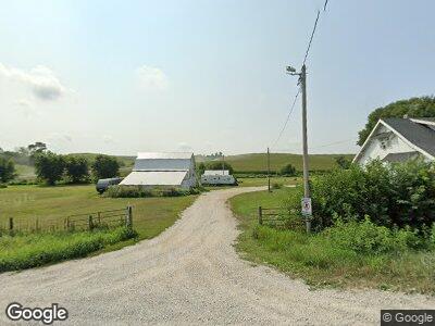
This home is located at 32945 Pinoak Rd Unit 1, Neola, IA 51559 and is currently estimated at $244,836, approximately $144 per square foot. 32945 Pinoak Rd Unit 1 is a home located in Pottawattamie County with nearby schools including Tri-Center Elementary School, Tri-Center Middle School, and Tri-Center High School.
Ownership History
Date
Name
Owned For
Owner Type
Purchase Details
Closed on
Nov 10, 2008
Sold by
Bintz Gale L and Bintz Diana
Bought by
Smith Pablo L
Current Estimated Value
Home Financials for this Owner
Home Financials are based on the most recent Mortgage that was taken out on this home.
Original Mortgage
$112,515
Interest Rate
6.09%
Mortgage Type
FHA
Purchase Details
Closed on
Jun 3, 2005
Sold by
Bintz Earl W and Bintz Phyllis E
Bought by
Bintz Phyllis E
Create a Home Valuation Report for This Property
The Home Valuation Report is an in-depth analysis detailing your home's value as well as a comparison with similar homes in the area
Home Values in the Area
Average Home Value in this Area
Purchase History
| Date | Buyer | Sale Price | Title Company |
|---|---|---|---|
| Smith Pablo L | -- | None Available | |
| Smith Pablo L | -- | None Available | |
| Smith Pablo L | $114,000 | None Available | |
| Bintz Phyllis E | -- | None Available |
Source: Public Records
Mortgage History
| Date | Status | Borrower | Loan Amount |
|---|---|---|---|
| Open | Smith Pablo L | $88,468 | |
| Closed | Smith Pablo L | $112,515 |
Source: Public Records
Tax History Compared to Growth
Tax History
| Year | Tax Paid | Tax Assessment Tax Assessment Total Assessment is a certain percentage of the fair market value that is determined by local assessors to be the total taxable value of land and additions on the property. | Land | Improvement |
|---|---|---|---|---|
| 2024 | $1,816 | $162,200 | $62,800 | $99,400 |
| 2023 | $1,816 | $162,200 | $62,800 | $99,400 |
| 2022 | $1,888 | $148,600 | $60,100 | $88,500 |
| 2021 | $2,633 | $143,100 | $60,100 | $83,000 |
| 2020 | $1,458 | $108,300 | $29,070 | $79,230 |
| 2019 | $1,510 | $108,300 | $29,070 | $79,230 |
| 2018 | $1,476 | $108,300 | $29,070 | $79,230 |
| 2017 | $1,476 | $108,300 | $29,070 | $79,230 |
| 2015 | $1,544 | $108,300 | $29,070 | $79,230 |
| 2014 | $1,586 | $108,300 | $29,070 | $79,230 |
Source: Public Records
Map
Nearby Homes
- 105.56 AC Magnolia Rd
- 30979 Tamarack Ave
- 112 5th St
- 101 Mulberry Cir
- 113 Circle Dr
- 413 5th St
- 115 Mulberry Cir
- 200 Laurie Cir
- 901 3rd St
- 99 Rosa Dr
- 1002 Hillside Dr
- 1004 Hillside Dr
- 1009 Hillside Dr
- 10 4th Ave
- 507 Hope Ave
- 32100 Whippoorwill Rd
- 3602 335th St
- 16.36 AC East St
- 203 Western Ave
- 35588 Elmtree Rd