33 Beasom Rd Lyndeborough, NH 03082
Greenfield NeighborhoodEstimated Value: $687,000 - $774,000
5
Beds
4
Baths
4,134
Sq Ft
$175/Sq Ft
Est. Value
About This Home
This home is located at 33 Beasom Rd, Lyndeborough, NH 03082 and is currently estimated at $725,121, approximately $175 per square foot. 33 Beasom Rd is a home with nearby schools including Lyndeborough Central School, Wilton-Lyndeborough Cooperative Middle School, and Wilton-Lyndeborough Cooperative High School.
Ownership History
Date
Name
Owned For
Owner Type
Purchase Details
Closed on
May 20, 2025
Sold by
Crosby Larry D
Bought by
Larry D Crosby Ret and Crosby
Current Estimated Value
Purchase Details
Closed on
Feb 6, 2012
Sold by
Bishop Robin
Bought by
Crosby Larry
Create a Home Valuation Report for This Property
The Home Valuation Report is an in-depth analysis detailing your home's value as well as a comparison with similar homes in the area
Home Values in the Area
Average Home Value in this Area
Purchase History
| Date | Buyer | Sale Price | Title Company |
|---|---|---|---|
| Larry D Crosby Ret | -- | None Available | |
| Larry D Crosby Ret | -- | None Available | |
| Crosby Larry | -- | -- | |
| Crosby Larry | -- | -- |
Source: Public Records
Mortgage History
| Date | Status | Borrower | Loan Amount |
|---|---|---|---|
| Previous Owner | Crosby Larry | $74,500 |
Source: Public Records
Tax History Compared to Growth
Tax History
| Year | Tax Paid | Tax Assessment Tax Assessment Total Assessment is a certain percentage of the fair market value that is determined by local assessors to be the total taxable value of land and additions on the property. | Land | Improvement |
|---|---|---|---|---|
| 2024 | $10,610 | $410,293 | $76,393 | $333,900 |
| 2023 | $9,751 | $410,238 | $76,338 | $333,900 |
| 2022 | $8,073 | $365,292 | $76,392 | $288,900 |
| 2021 | $7,856 | $355,465 | $76,565 | $278,900 |
| 2020 | $4,548 | $347,565 | $76,565 | $271,000 |
| 2019 | $5,632 | $269,870 | $73,170 | $196,700 |
| 2018 | $4,015 | $269,710 | $73,010 | $196,700 |
| 2017 | $7,482 | $269,710 | $73,010 | $196,700 |
| 2016 | $7,482 | $269,710 | $73,010 | $196,700 |
| 2015 | $6,821 | $269,710 | $73,010 | $196,700 |
| 2013 | $6,561 | $273,390 | $74,790 | $198,600 |
Source: Public Records
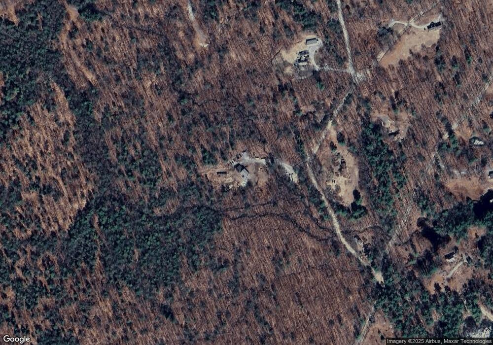
Map
Nearby Homes
- 757 Forest Rd
- 11 Pony Farm Ln
- 19 Putnam Rd
- 372 Webster Hwy
- 222 Forest Rd
- 65 Webster Hwy
- 24 Glass Factory Rd
- 16 Cameron's Way
- A 66 Burton Hwy
- 75 New Boston Rd
- 85 Old Revolutionary Rd
- 127 Old Revolutionary Rd
- 9 Beacon Ln
- 94 Summit Dr
- 0 Marden Rd
- 59 Goldsmith Rd
- 59 Westview Dr
- 60 Goldsmith Rd
- 48 & 56 Perkins Ln
- 477 E Mountain Rd
- 45 Beasom Rd
- 26 Beasom Rd
- 3 Woodward Rd
- 10 Beasom Rd
- 42 Beasom Rd
- 73 Beasom Rd
- 15 Woodward Rd
- 24 Woodward Rd
- 76 Beasom Rd
- 343 Old Temple Rd
- 384 Old Temple Rd
- 283 Old Temple Rd
- 100 Woodward Rd
- 272 Collins Rd
- 240 Old Temple Rd
- 83 Beasom Rd
- Map 241 Lot 8 Old Temple Rd
- 363 Old Temple Rd
- 233 Old Temple Rd
- 262 Collins Rd