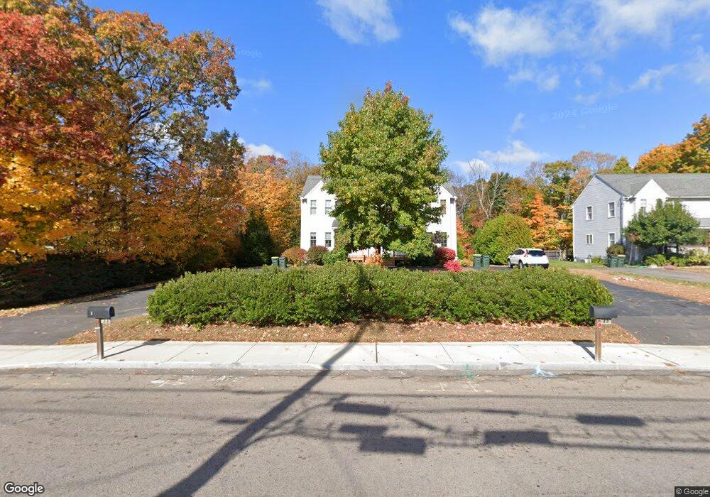
33 Chestnut St Franklin, MA 02038
Downtown Franklin NeighborhoodEstimated Value: $413,000 - $540,000
3
Beds
2
Baths
1,122
Sq Ft
$402/Sq Ft
Est. Value
About This Home
This home is located at 33 Chestnut St, Franklin, MA 02038 and is currently estimated at $451,345, approximately $402 per square foot. 33 Chestnut St is a home located in Norfolk County with nearby schools including Helen Keller Elementary School, Annie Sullivan Middle School, and Franklin High School.
Ownership History
Date
Name
Owned For
Owner Type
Purchase Details
Closed on
Nov 11, 2022
Sold by
Franklin Deluxe Llc
Bought by
Makdissi Jacob
Current Estimated Value
Purchase Details
Closed on
May 31, 2002
Sold by
Megor Inc
Bought by
Kelder Nicolaas Od and Zajac Melissa A
Home Financials for this Owner
Home Financials are based on the most recent Mortgage that was taken out on this home.
Original Mortgage
$220,400
Interest Rate
7%
Mortgage Type
Purchase Money Mortgage
Create a Home Valuation Report for This Property
The Home Valuation Report is an in-depth analysis detailing your home's value as well as a comparison with similar homes in the area
Home Values in the Area
Average Home Value in this Area
Purchase History
| Date | Buyer | Sale Price | Title Company |
|---|---|---|---|
| Makdissi Jacob | $370,000 | None Available | |
| Kelder Nicolaas Od | $232,000 | -- |
Source: Public Records
Mortgage History
| Date | Status | Borrower | Loan Amount |
|---|---|---|---|
| Previous Owner | Kelder Nicolaas Od | $220,400 |
Source: Public Records
Tax History
| Year | Tax Paid | Tax Assessment Tax Assessment Total Assessment is a certain percentage of the fair market value that is determined by local assessors to be the total taxable value of land and additions on the property. | Land | Improvement |
|---|---|---|---|---|
| 2025 | $4,283 | $368,600 | $0 | $368,600 |
| 2024 | $4,247 | $360,200 | $0 | $360,200 |
| 2023 | $4,227 | $336,000 | $0 | $336,000 |
| 2022 | $4,438 | $315,900 | $0 | $315,900 |
| 2021 | $4,297 | $293,300 | $0 | $293,300 |
| 2020 | $4,134 | $284,900 | $0 | $284,900 |
| 2019 | $3,565 | $243,200 | $0 | $243,200 |
| 2018 | $3,835 | $261,800 | $0 | $261,800 |
| 2017 | $3,439 | $235,900 | $0 | $235,900 |
| 2016 | $3,612 | $249,100 | $0 | $249,100 |
| 2015 | $3,622 | $244,100 | $0 | $244,100 |
| 2014 | $3,383 | $234,100 | $0 | $234,100 |
Source: Public Records
Map
Nearby Homes
- 62 Uncas Ave
- 60 Uncas Ave
- 64 Uncas Ave
- 37 Cross St
- 76 Uncas Ave
- 66 Uncas Ave
- 68 Uncas Ave
- 80 Uncas Ave
- 82 Uncas Ave
- 30 Longobardi Dr Unit 30
- 99 Summer St
- 139 King St Unit 306
- 88 Crescent St
- 3 Oak View Terrace Unit 3
- 120 Union St Unit 1
- 18 Northern Spy Rd
- 14 Pleasant St Unit B
- 163 W Central St
- 374-378 Union St
- 75 Jordan Rd
- 35 Chestnut St
- 33 Chestnut St Unit 33
- 33 Chestnut St Unit 2
- 35 Chestnut St Unit 35
- 35 Chestnut St Unit 2
- 43 Chestnut St
- 41 Chestnut St
- 41 Chestnut St Unit 2
- 40 Chestnut St
- 205 E Central St Unit 8
- 205 E Central St Unit 1
- 205 E Central St
- 205 E Central St Unit 2
- 55 Chestnut St
- 9 Chestnut St
- 209 E Central St
- 57 Chestnut St
- 181 E Central St
- 1 Uncas Ave
- 210 E Central St
Your Personal Tour Guide
Ask me questions while you tour the home.