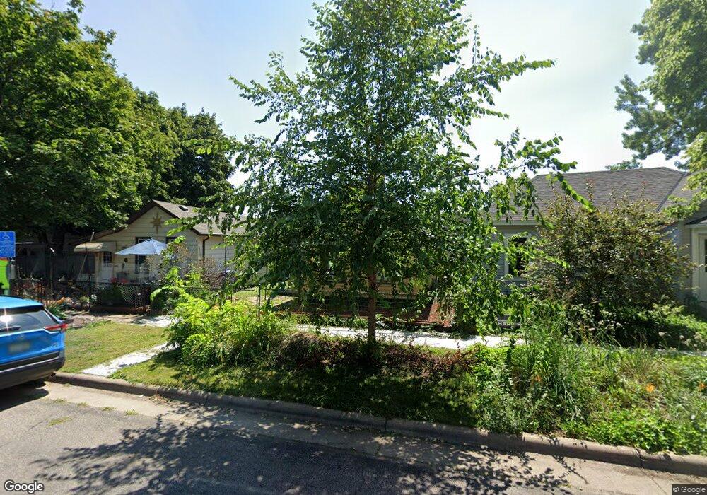
330 Michigan St Saint Paul, MN 55102
West Seventh NeighborhoodEstimated Value: $202,000 - $242,000
2
Beds
1
Bath
832
Sq Ft
$260/Sq Ft
Est. Value
About This Home
This home is located at 330 Michigan St, Saint Paul, MN 55102 and is currently estimated at $216,061, approximately $259 per square foot. 330 Michigan St is a home located in Ramsey County with nearby schools including Randolph Heights Elementary School, Hidden River Middle School, and Central Senior High School.
Ownership History
Date
Name
Owned For
Owner Type
Purchase Details
Closed on
Oct 24, 2001
Sold by
Gonyea Properties Llc
Bought by
Robertson Michael R
Current Estimated Value
Purchase Details
Closed on
Aug 23, 2001
Sold by
Ocwen Federal Bank Fsb
Bought by
Gonyea Properties Llc
Purchase Details
Closed on
Aug 19, 1998
Sold by
Pierson Michael L and Pierson Vikki
Bought by
Neal Dionne
Purchase Details
Closed on
Oct 11, 1996
Sold by
Robertson Beverly M and Robertson Patrick J
Bought by
Pierson Michael
Create a Home Valuation Report for This Property
The Home Valuation Report is an in-depth analysis detailing your home's value as well as a comparison with similar homes in the area
Home Values in the Area
Average Home Value in this Area
Purchase History
| Date | Buyer | Sale Price | Title Company |
|---|---|---|---|
| Robertson Michael R | $67,000 | -- | |
| Gonyea Properties Llc | $46,600 | -- | |
| Neal Dionne | $80,000 | -- | |
| Pierson Michael | $28,000 | -- | |
| Pierson Michael | $28,000 | -- |
Source: Public Records
Mortgage History
| Date | Status | Borrower | Loan Amount |
|---|---|---|---|
| Closed | Pierson Michael | -- |
Source: Public Records
Tax History Compared to Growth
Tax History
| Year | Tax Paid | Tax Assessment Tax Assessment Total Assessment is a certain percentage of the fair market value that is determined by local assessors to be the total taxable value of land and additions on the property. | Land | Improvement |
|---|---|---|---|---|
| 2025 | $2,800 | $194,200 | $24,000 | $170,200 |
| 2023 | $2,800 | $167,100 | $24,000 | $143,100 |
| 2022 | $2,246 | $161,400 | $24,000 | $137,400 |
| 2021 | $2,346 | $126,200 | $24,000 | $102,200 |
| 2020 | $2,304 | $137,600 | $12,700 | $124,900 |
| 2019 | $1,996 | $133,800 | $12,700 | $121,100 |
| 2018 | $2,084 | $113,800 | $12,700 | $101,100 |
| 2017 | $1,632 | $122,500 | $12,700 | $109,800 |
| 2016 | $1,658 | $0 | $0 | $0 |
| 2015 | $1,682 | $97,400 | $12,700 | $84,700 |
| 2014 | $1,708 | $0 | $0 | $0 |
Source: Public Records
Map
Nearby Homes
- 275 Cliff St
- 398 Banfil St
- 89 Douglas St
- 212 McBoal St
- 270 7th St W
- 383 Grand Ave Unit 9
- 383 Grand Ave Unit 1
- 391 Grand Ave Unit 304
- 380 Ramsey St Unit 1B
- 195 Oneida St
- 391 Duke St
- 11 Summit Ct Unit 11
- 442 Summit Ave Unit 4
- 442 Summit Ave Unit 6
- 456 Summit Ave Unit 203
- 506 Grand Hill
- 421 Summit Ave Unit 2
- 421 Summit Ave Unit 3
- 415 Summit Ave Unit 2
- 438 Portland Ave Unit 4