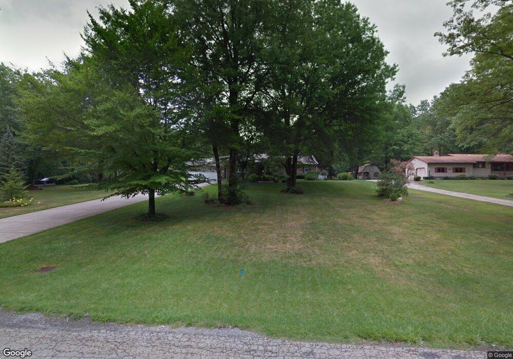
331 Benton St Youngstown, OH 44515
Austintown NeighborhoodEstimated Value: $247,000 - $351,000
4
Beds
2
Baths
2,168
Sq Ft
$139/Sq Ft
Est. Value
About This Home
This home is located at 331 Benton St, Youngstown, OH 44515 and is currently estimated at $302,296, approximately $139 per square foot. 331 Benton St is a home located in Mahoning County with nearby schools including Austintown Elementary School, Austintown Intermediate School, and Austintown Middle School.
Ownership History
Date
Name
Owned For
Owner Type
Purchase Details
Closed on
Jul 11, 2001
Sold by
Smith James M and Smith Alicia M
Bought by
Dick John J and Dick Shirley A
Current Estimated Value
Home Financials for this Owner
Home Financials are based on the most recent Mortgage that was taken out on this home.
Original Mortgage
$50,167
Interest Rate
6.82%
Purchase Details
Closed on
Jun 16, 2000
Sold by
Smith John W and Smith Margaret C
Bought by
Smith James M and Smith Alicia M
Purchase Details
Closed on
Jan 1, 1990
Bought by
Smith John W and Smith Margt C
Create a Home Valuation Report for This Property
The Home Valuation Report is an in-depth analysis detailing your home's value as well as a comparison with similar homes in the area
Home Values in the Area
Average Home Value in this Area
Purchase History
| Date | Buyer | Sale Price | Title Company |
|---|---|---|---|
| Dick John J | $182,000 | -- | |
| Smith James M | $120,000 | -- | |
| Smith John W | -- | -- |
Source: Public Records
Mortgage History
| Date | Status | Borrower | Loan Amount |
|---|---|---|---|
| Closed | Dick John J | $50,167 | |
| Closed | Smith James M | $0 |
Source: Public Records
Tax History Compared to Growth
Tax History
| Year | Tax Paid | Tax Assessment Tax Assessment Total Assessment is a certain percentage of the fair market value that is determined by local assessors to be the total taxable value of land and additions on the property. | Land | Improvement |
|---|---|---|---|---|
| 2024 | $4,730 | $103,110 | $11,050 | $92,060 |
| 2023 | $4,656 | $103,110 | $11,050 | $92,060 |
| 2022 | $3,992 | $70,880 | $11,050 | $59,830 |
| 2021 | $3,994 | $70,880 | $11,050 | $59,830 |
| 2020 | $4,011 | $70,880 | $11,050 | $59,830 |
| 2019 | $3,772 | $60,750 | $10,050 | $50,700 |
| 2018 | $3,630 | $60,750 | $10,050 | $50,700 |
| 2017 | $3,627 | $60,750 | $10,050 | $50,700 |
| 2016 | $3,325 | $55,150 | $10,050 | $45,100 |
| 2015 | $3,223 | $55,150 | $10,050 | $45,100 |
| 2014 | $3,238 | $55,150 | $10,050 | $45,100 |
| 2013 | $3,204 | $55,150 | $10,050 | $45,100 |
Source: Public Records
Map
Nearby Homes
- 5231 W Rockwell Rd
- 112 Benton St
- 5451 Virginia Dr
- 159 N Canfield Niles Rd
- 176 N Canfield Niles Rd
- 138 N Canfield Niles Rd
- 111 Ohltown Rd
- 5560 Norquest Blvd
- 3794-3796 Mahoning Ave
- 124 S Inglewood Ave
- 148 Marcia Dr
- 170 Idaho Rd
- 97 Idlewood Rd
- 5109 W Elmwood Ave
- 5085 Winslow Dr
- 1239 Woodledge Dr
- 161 N Roanoke Ave
- 236 Charlestown Place
- 125 Fitch Blvd Unit 224
- 107 N Roanoke Ave