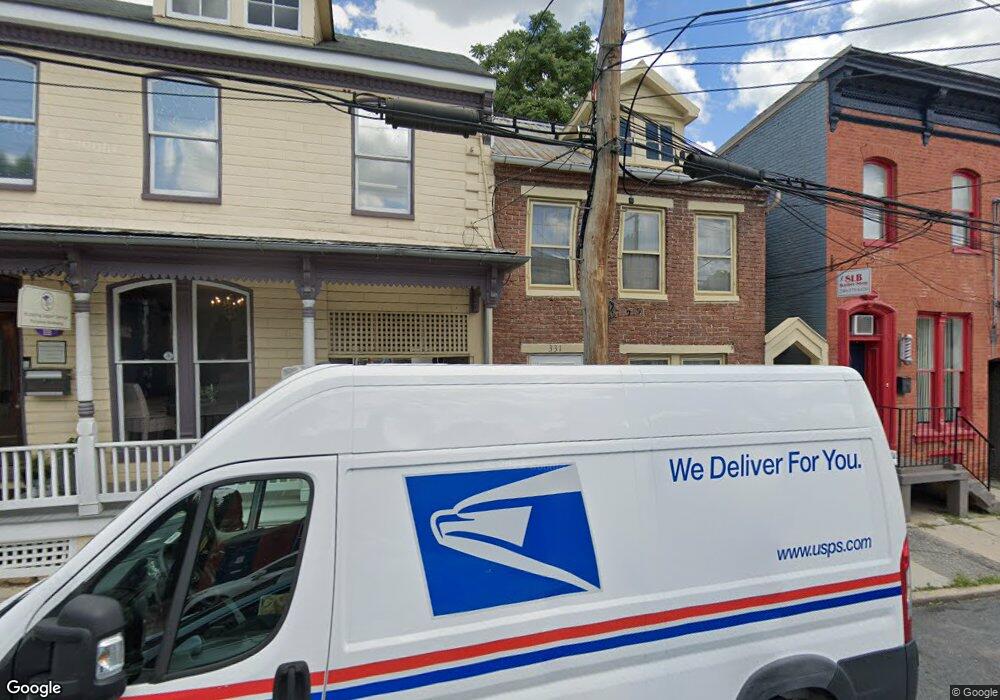
331 W Patrick St Frederick, MD 21701
Carrollton NeighborhoodEstimated Value: $251,282
Studio
--
Bath
1,526
Sq Ft
$165/Sq Ft
Est. Value
About This Home
This home is located at 331 W Patrick St, Frederick, MD 21701 and is currently estimated at $251,282, approximately $164 per square foot. 331 W Patrick St is a home located in Frederick County with nearby schools including Parkway Elementary School, West Frederick Middle School, and Frederick High School.
Ownership History
Date
Name
Owned For
Owner Type
Purchase Details
Closed on
Jun 4, 2015
Sold by
Bhadd Realty Llc
Bought by
Mne Partners Llc
Current Estimated Value
Purchase Details
Closed on
Dec 6, 2012
Sold by
Breen William J
Bought by
Bhadd Realty Llc
Purchase Details
Closed on
Nov 15, 2012
Sold by
Simon Mark E
Bought by
Breen William J
Purchase Details
Closed on
Oct 25, 2007
Sold by
Selig Miriam F
Bought by
Pacheco Monica
Purchase Details
Closed on
Oct 25, 2005
Sold by
Selig Miriam F
Bought by
Selig Miriam F and Miriam F. Selig Rev. Trust
Create a Home Valuation Report for This Property
The Home Valuation Report is an in-depth analysis detailing your home's value as well as a comparison with similar homes in the area
Home Values in the Area
Average Home Value in this Area
Purchase History
| Date | Buyer | Sale Price | Title Company |
|---|---|---|---|
| Mne Partners Llc | $146,500 | Attorney | |
| Bhadd Realty Llc | -- | None Available | |
| Breen William J | $105,000 | None Available | |
| Pacheco Monica | $275,000 | -- | |
| Selig Miriam F | -- | -- |
Source: Public Records
Tax History
| Year | Tax Paid | Tax Assessment Tax Assessment Total Assessment is a certain percentage of the fair market value that is determined by local assessors to be the total taxable value of land and additions on the property. | Land | Improvement |
|---|---|---|---|---|
| 2025 | $4,787 | $296,100 | $95,000 | $201,100 |
| 2024 | $4,787 | $258,867 | -- | -- |
| 2023 | $3,989 | $221,633 | $0 | $0 |
| 2022 | $3,314 | $184,400 | $95,000 | $89,400 |
| 2021 | $3,037 | $176,867 | $0 | $0 |
| 2020 | $3,037 | $169,333 | $0 | $0 |
| 2019 | $2,903 | $161,800 | $62,000 | $99,800 |
| 2018 | $2,889 | $159,600 | $0 | $0 |
| 2017 | $2,821 | $161,800 | $0 | $0 |
| 2016 | $4,047 | $155,200 | $0 | $0 |
| 2015 | $4,047 | $154,467 | $0 | $0 |
| 2014 | $4,047 | $153,733 | $0 | $0 |
Source: Public Records
Map
Nearby Homes
- 17 S Jefferson St
- 419 Columbus Ave
- 11 W South St
- 208 Broadway St
- 110 N Court St
- 307 Upper College Terrace
- 268 Dill Ave
- 301 Redwood Ave
- 247 Dill Ave
- 317 W College Terrace
- 35 E All Saints St Unit 306
- 358 Catoctin Ave
- 17 W 3rd St
- 328 Lindbergh Ave
- 427 S Market St
- 13 E 2nd St
- 750 Carroll Pkwy
- 23 W 4th St
- 417 White Oak Place
- 200 E Church St
- 327 W Patrick St Unit 2
- 327 W Patrick St
- 333 W Patrick St
- 325 W Patrick St Unit 1
- 325 W Patrick St Unit 2
- 325 W Patrick St
- 329 W Patrick St
- 329 W Patrick St Unit 2
- 337 W Patrick St
- 321 W Patrick St
- 323 W Patrick St
- 335 W Patrick St
- 341 W Patrick St
- 317 W Patrick St
- 314 W Patrick St
- 314 W Patrick St Unit UPPER
- 314 - 316 W Patrick St
- 316 W Patrick St Unit UPPER
- 315 W Patrick St
- 313 W Patrick St
Your Personal Tour Guide
Ask me questions while you tour the home.