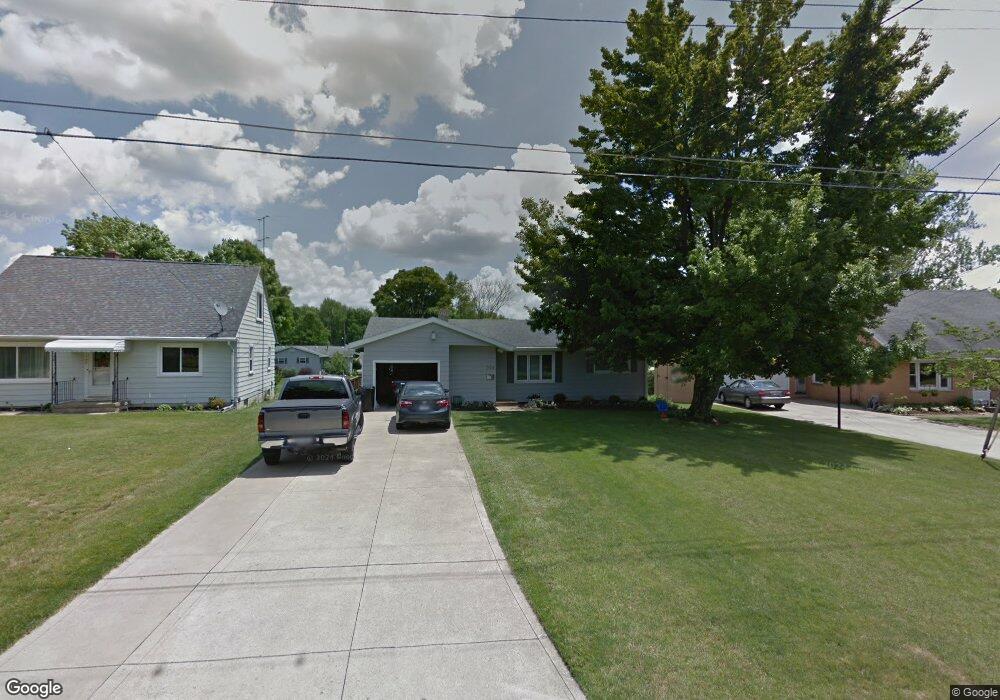
334 Sabo Dr Mansfield, OH 44905
Estimated Value: $140,000 - $159,000
About This Home
This home is located at 334 Sabo Dr, Mansfield, OH 44905 and is currently estimated at $148,907, approximately $133 per square foot. 334 Sabo Dr is a home located in Richland County with nearby schools including Madison High School, Temple-Christian School, and St. Mary Catholic School.
Ownership History
We collect this data history from publicly available records. To have your information removed, we recommend requesting removal directly through your county’s website.
Purchase Details
Purchase Details
Home Financials for this Owner
Home Financials are based on the most recent Mortgage that was taken out on this home.Home Values in the Area
Average Home Value in this Area
Purchase History
We collect this data history from publicly available records. To have your information removed, we recommend requesting removal directly through your county’s website.
| Date | Buyer | Sale Price | Title Company |
|---|---|---|---|
| -- | Chicago Title | ||
| $62,500 | -- |
Mortgage History
We collect this data history from publicly available records. To have your information removed, we recommend requesting removal directly through your county’s website.
| Date | Status | Borrower | Loan Amount |
|---|---|---|---|
| Previous Owner | $20,000 |
Tax History
We collect this data history from publicly available records. To have your information removed, we recommend requesting removal directly through your county’s website.
| Year | Tax Paid | Tax Assessment Tax Assessment Total Assessment is a certain percentage of the fair market value that is determined by local assessors to be the total taxable value of land and additions on the property. | Land | Improvement |
|---|---|---|---|---|
| 2025 | $1,204 | $35,260 | $5,490 | $29,770 |
| 2024 | $1,204 | $35,260 | $5,490 | $29,770 |
| 2023 | $1,258 | $35,260 | $5,490 | $29,770 |
| 2022 | $1,562 | $28,190 | $4,990 | $23,200 |
| 2021 | $1,538 | $28,190 | $4,990 | $23,200 |
| 2020 | $1,571 | $28,190 | $4,990 | $23,200 |
| 2019 | $1,487 | $23,690 | $4,190 | $19,500 |
| 2018 | $1,391 | $23,690 | $4,190 | $19,500 |
| 2017 | $1,363 | $23,690 | $4,190 | $19,500 |
| 2016 | $1,383 | $23,240 | $3,980 | $19,260 |
| 2015 | $1,320 | $23,240 | $3,980 | $19,260 |
| 2014 | $1,315 | $23,240 | $3,980 | $19,260 |
| 2012 | $654 | $24,470 | $4,190 | $20,280 |
Map
- 607 Skyline Rd
- 632 Coachman Rd
- 1650 Ohio 430
- 644 Skyline Rd
- 1226 Evergreen Ave W
- 683 Coachman Rd
- 0 Mcelroy Rd
- 1214 Bechtel Ave
- 395 Indiana Ave
- 1343 Walker Ave E
- 603 Laver Rd
- 888 Beal Rd
- 906 Duke Ave
- 490 Dyas Dr
- 475 Dyas Dr
- 914 Mayflower Dr
- 822 Park Ave E
- 620 Running Brook Way
- 951 Dresden Dr
- 243 Ford Rd S
Ask me questions while you tour the home.