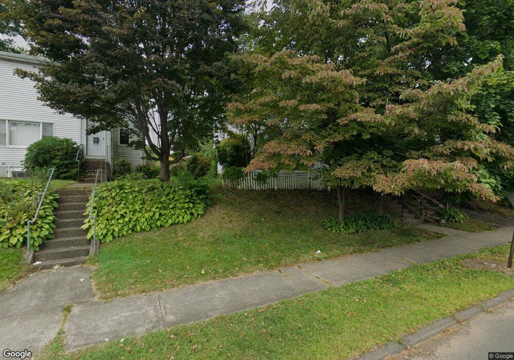
335 Silas Deane Hwy Unit 337 Wethersfield, CT 06109
Estimated Value: $385,682 - $513,000
4
Beds
3
Baths
2,016
Sq Ft
$224/Sq Ft
Est. Value
About This Home
This home is located at 335 Silas Deane Hwy Unit 337, Wethersfield, CT 06109 and is currently estimated at $452,171, approximately $224 per square foot. 335 Silas Deane Hwy Unit 337 is a home located in Hartford County with nearby schools including Charles Wright School, Silas Deane Middle School, and Wethersfield High School.
Ownership History
Date
Name
Owned For
Owner Type
Purchase Details
Closed on
Feb 21, 1997
Sold by
Solopaca Buildings Co
Bought by
Orfitelli Carmela
Current Estimated Value
Home Financials for this Owner
Home Financials are based on the most recent Mortgage that was taken out on this home.
Original Mortgage
$80,000
Interest Rate
5.9%
Mortgage Type
Unknown
Create a Home Valuation Report for This Property
The Home Valuation Report is an in-depth analysis detailing your home's value as well as a comparison with similar homes in the area
Home Values in the Area
Average Home Value in this Area
Purchase History
| Date | Buyer | Sale Price | Title Company |
|---|---|---|---|
| Orfitelli Carmela | $50,000 | -- |
Source: Public Records
Mortgage History
| Date | Status | Borrower | Loan Amount |
|---|---|---|---|
| Closed | Orfitelli Carmela | $50,000 | |
| Closed | Orfitelli Carmela | $124,000 | |
| Closed | Orfitelli Carmela | $21,945 | |
| Closed | Orfitelli Carmela | $80,000 |
Source: Public Records
Tax History Compared to Growth
Tax History
| Year | Tax Paid | Tax Assessment Tax Assessment Total Assessment is a certain percentage of the fair market value that is determined by local assessors to be the total taxable value of land and additions on the property. | Land | Improvement |
|---|---|---|---|---|
| 2025 | $8,885 | $215,540 | $56,000 | $159,540 |
| 2024 | $6,846 | $158,400 | $48,070 | $110,330 |
| 2023 | $6,618 | $158,400 | $48,070 | $110,330 |
| 2022 | $6,507 | $158,400 | $48,070 | $110,330 |
| 2021 | $6,442 | $158,400 | $48,070 | $110,330 |
| 2020 | $6,445 | $158,400 | $48,070 | $110,330 |
| 2019 | $6,453 | $158,400 | $48,070 | $110,330 |
| 2018 | $6,521 | $159,900 | $47,400 | $112,500 |
| 2017 | $6,359 | $159,900 | $47,400 | $112,500 |
| 2016 | $6,163 | $159,900 | $47,400 | $112,500 |
| 2015 | $6,107 | $159,900 | $47,400 | $112,500 |
| 2014 | $5,875 | $159,900 | $47,400 | $112,500 |
Source: Public Records
Map
Nearby Homes
- 18 Avalon Place
- 14 Fernwood St
- 9 Avalon Place
- 317 Garden St Unit 319
- 26 Tifton Rd
- 7 Harmund Ct
- 193 Wolcott Hill Rd Unit 195
- 118 Church St
- 53 Wolcott Hill Rd Unit C23
- 41 Hartford Ave
- 24 Williams St
- 493 Main St
- 442 Wolcott Hill Rd
- 24 Stillman Rd
- 92 Reed Dr
- 70 Stillman Rd
- 80 Spruce St
- 55 Rutledge Rd
- 226 Broad St Unit 1S
- 35 Stillwold Dr
- 331 Silas Deane Hwy
- 144 Nott St
- 138 Nott St
- 327 Silas Deane Hwy Unit 329
- 20 Wright Rd
- 16 Wright Rd
- 26 Wright Rd
- 150 Nott St
- 321 Silas Deane Hwy
- 30 Wright Rd
- 334 Silas Deane Hwy
- 154 Nott St
- 326 Silas Deane Hwy Unit 2
- 326 Silas Deane Hwy
- 313 Silas Deane Hwy
- 330 Silas Deane Hwy
- 158 Nott St
- 350 Silas Deane Hwy Unit 301
- 350 Silas Deane Hwy Unit 303
- 350 Silas Deane Hwy Unit 101