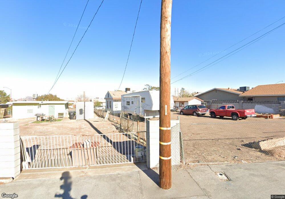
335 Tungsten St Henderson, NV 89015
Downtown Henderson NeighborhoodEstimated Value: $236,000 - $314,000
3
Beds
1
Bath
878
Sq Ft
$300/Sq Ft
Est. Value
About This Home
This home is located at 335 Tungsten St, Henderson, NV 89015 and is currently estimated at $263,082, approximately $299 per square foot. 335 Tungsten St is a home located in Clark County with nearby schools including Gordon Mccaw Elementary School, Robert L Taylor Elementary School, and Lyal Burkholder Middle School.
Ownership History
Date
Name
Owned For
Owner Type
Purchase Details
Closed on
Aug 22, 2021
Sold by
Longacres Llc
Bought by
Masuda Frank
Current Estimated Value
Home Financials for this Owner
Home Financials are based on the most recent Mortgage that was taken out on this home.
Original Mortgage
$185,576
Interest Rate
3.55%
Mortgage Type
FHA
Purchase Details
Closed on
Apr 21, 2021
Sold by
Grogan Jerry P and Grogan Christine
Bought by
Longacres Llc
Purchase Details
Closed on
May 30, 2003
Sold by
Grogan Michael I
Bought by
Grogan Michael I and Grogan Barbara E
Create a Home Valuation Report for This Property
The Home Valuation Report is an in-depth analysis detailing your home's value as well as a comparison with similar homes in the area
Home Values in the Area
Average Home Value in this Area
Purchase History
| Date | Buyer | Sale Price | Title Company |
|---|---|---|---|
| Masuda Frank | $189,000 | Fidelity National Title | |
| Longacres Llc | -- | None Available | |
| Grogan Michael I | -- | -- |
Source: Public Records
Mortgage History
| Date | Status | Borrower | Loan Amount |
|---|---|---|---|
| Previous Owner | Masuda Frank | $185,576 |
Source: Public Records
Tax History Compared to Growth
Tax History
| Year | Tax Paid | Tax Assessment Tax Assessment Total Assessment is a certain percentage of the fair market value that is determined by local assessors to be the total taxable value of land and additions on the property. | Land | Improvement |
|---|---|---|---|---|
| 2025 | $413 | $35,529 | $24,255 | $11,274 |
| 2024 | $401 | $35,529 | $24,255 | $11,274 |
| 2023 | $401 | $35,996 | $25,795 | $10,201 |
| 2022 | $408 | $31,467 | $22,330 | $9,137 |
| 2021 | $378 | $30,807 | $22,330 | $8,477 |
| 2020 | $349 | $28,263 | $20,020 | $8,243 |
| 2019 | $327 | $22,574 | $14,630 | $7,944 |
| 2018 | $312 | $22,079 | $14,630 | $7,449 |
| 2017 | $549 | $18,930 | $11,550 | $7,380 |
| 2016 | $297 | $14,515 | $7,350 | $7,165 |
| 2015 | $295 | $11,846 | $4,900 | $6,946 |
| 2014 | $286 | $9,578 | $4,900 | $4,678 |
Source: Public Records
Map
Nearby Homes
- 335 W Basic Rd
- 126 Magnesium St
- 116 W Victory Rd
- 211 W Atlantic Ave
- 27 Magnesium St
- 206 W Atlantic Ave
- 203 W Pacific Ave
- 234 Denver Way
- 205 Carson Way
- 211 Viewmont Dr
- 240 W Fairway Rd
- 603 Buchanan Ave
- 15 Washington Way
- 405 Box Elder Way
- 130 W Fairway Rd
- 139 E van Wagenen St
- 30 Lowery St
- 39 E Pacific Ave
- 379 Morgan Crest Dr
- 357 Powell Crest Dr
- 331 Tungsten St
- 339 Tungsten St
- 327 Tungsten St
- 330 W Basic Rd
- 334 W Basic Rd
- 334 Tungsten St
- 330 Tungsten St
- 330 Tungsten St Unit Front
- 330 Tungsten St Unit BACK
- 323 Tungsten St
- 338 W Basic Rd
- 322 W Basic Rd
- 338 Tungsten St
- 347 Tungsten St
- 326 Tungsten St
- 342 W Basic Rd
- 342 Tungsten St
- 318 W Basic Rd
- 322 Tungsten St
- 319 Tungsten St