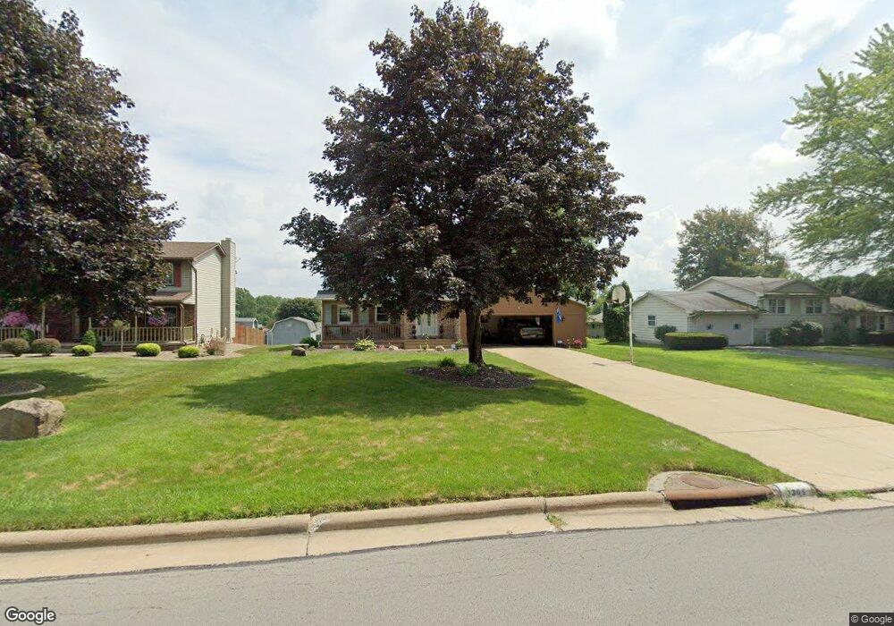
3365 Darbyshire Dr Canfield, OH 44406
Austintown NeighborhoodEstimated Value: $240,000 - $259,601
3
Beds
2
Baths
1,824
Sq Ft
$139/Sq Ft
Est. Value
About This Home
This home is located at 3365 Darbyshire Dr, Canfield, OH 44406 and is currently estimated at $253,150, approximately $138 per square foot. 3365 Darbyshire Dr is a home located in Mahoning County with nearby schools including Austintown Elementary School, Austintown Intermediate School, and Austintown Middle School.
Ownership History
Date
Name
Owned For
Owner Type
Purchase Details
Closed on
Jun 27, 2005
Sold by
Curran Arlene F
Bought by
Bracy John P and Bracy Lillian
Current Estimated Value
Home Financials for this Owner
Home Financials are based on the most recent Mortgage that was taken out on this home.
Original Mortgage
$142,267
Outstanding Balance
$75,222
Interest Rate
5.86%
Mortgage Type
FHA
Estimated Equity
$177,928
Purchase Details
Closed on
Aug 17, 1988
Bought by
Curran John T
Create a Home Valuation Report for This Property
The Home Valuation Report is an in-depth analysis detailing your home's value as well as a comparison with similar homes in the area
Home Values in the Area
Average Home Value in this Area
Purchase History
| Date | Buyer | Sale Price | Title Company |
|---|---|---|---|
| Bracy John P | $144,500 | -- | |
| Curran John T | -- | -- |
Source: Public Records
Mortgage History
| Date | Status | Borrower | Loan Amount |
|---|---|---|---|
| Open | Bracy John P | $142,267 |
Source: Public Records
Tax History Compared to Growth
Tax History
| Year | Tax Paid | Tax Assessment Tax Assessment Total Assessment is a certain percentage of the fair market value that is determined by local assessors to be the total taxable value of land and additions on the property. | Land | Improvement |
|---|---|---|---|---|
| 2024 | $3,318 | $72,180 | $7,520 | $64,660 |
| 2023 | $3,262 | $72,180 | $7,520 | $64,660 |
| 2022 | $2,985 | $52,970 | $7,590 | $45,380 |
| 2021 | $2,988 | $52,970 | $7,590 | $45,380 |
| 2020 | $2,999 | $52,970 | $7,590 | $45,380 |
| 2019 | $2,824 | $45,280 | $6,490 | $38,790 |
| 2018 | $2,718 | $45,280 | $6,490 | $38,790 |
| 2017 | $2,706 | $45,280 | $6,490 | $38,790 |
| 2016 | $2,658 | $44,040 | $6,930 | $37,110 |
| 2015 | $2,578 | $44,040 | $6,930 | $37,110 |
| 2014 | $2,589 | $44,040 | $6,930 | $37,110 |
| 2013 | $2,560 | $44,040 | $6,930 | $37,110 |
Source: Public Records
Map
Nearby Homes
- 3475 42nd St
- 3481 Forty Second St
- 3695 High Meadow Dr
- 4651 Warwick Dr S
- 4643 Warwick Dr S
- 4674 Barrington Dr
- 5285 Kirk Rd
- 4650 Bunny Trail
- 2493 Frostwood Dr
- 4114 S Raccoon Rd
- 2414 Ardenwood Place
- 3270 S Canfield Niles Rd
- 2211 Penny Ln
- 3798 S Raccoon Rd
- 4689 Crabwood Dr
- 2792 S Canfield Niles Rd
- 40 Woodleigh Ct
- 4488 S Raccoon Rd
- 4815 New Rd
- 4232 Adeer Dr
- 3347 Darbyshire Dr
- 3375 Darbyshire Dr
- 4875 Darbyshire Ct
- 3335 Darbyshire Dr
- 4840 Heritage Dr
- 3389 Darbyshire Dr
- 3360 Darbyshire Dr
- 4865 Darbyshire Ct
- 3370 Darbyshire Dr
- 3348 Darbyshire Dr
- 4830 Heritage Dr
- 3380 Darbyshire Dr
- 3336 Darbyshire Dr
- 4853 Darbyshire Ct
- 3390 Darbyshire Dr
- 3325 Darbyshire Dr
- 3401 Darbyshire Dr
- 4820 Heritage Dr
- 3324 Darbyshire Dr
- 4807 Darbyshire Ct