Estimated Value: $439,000 - $481,000
4
Beds
3
Baths
2,844
Sq Ft
$160/Sq Ft
Est. Value
About This Home
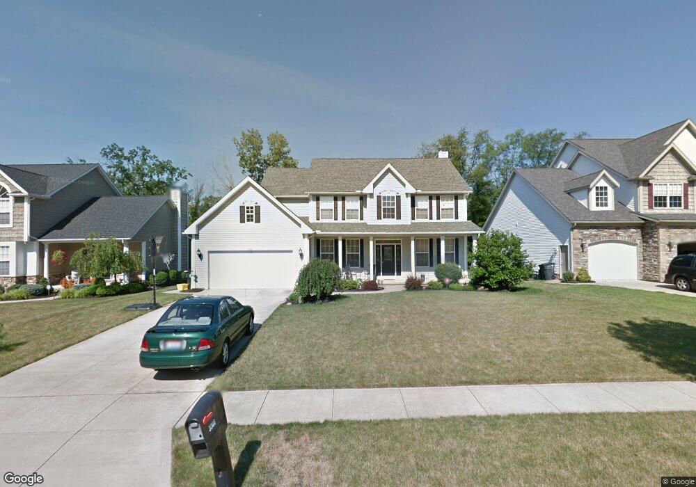
This home is located at 3366 Crown Pointe Dr, Stow, OH 44224 and is currently estimated at $454,118, approximately $159 per square foot. 3366 Crown Pointe Dr is a home located in Summit County with nearby schools including Stow-Munroe Falls High School and St Patrick Elementary School.
Ownership History
Date
Name
Owned For
Owner Type
Purchase Details
Closed on
Jul 19, 2004
Sold by
Rjs Construction Inc
Bought by
Sandman Timothy E and Sandman Sandra M
Current Estimated Value
Home Financials for this Owner
Home Financials are based on the most recent Mortgage that was taken out on this home.
Original Mortgage
$215,900
Outstanding Balance
$109,128
Interest Rate
6.4%
Mortgage Type
Purchase Money Mortgage
Estimated Equity
$344,990
Purchase Details
Closed on
Mar 26, 2003
Sold by
Union Commerce Corp
Bought by
Rjs Construction Inc
Home Financials for this Owner
Home Financials are based on the most recent Mortgage that was taken out on this home.
Original Mortgage
$40,900
Interest Rate
5.71%
Mortgage Type
Construction
Create a Home Valuation Report for This Property
The Home Valuation Report is an in-depth analysis detailing your home's value as well as a comparison with similar homes in the area
Home Values in the Area
Average Home Value in this Area
Purchase History
| Date | Buyer | Sale Price | Title Company |
|---|---|---|---|
| Sandman Timothy E | $269,900 | Land America-Lawyers Title | |
| Rjs Construction Inc | $51,200 | Land America/Lawyers Title |
Source: Public Records
Mortgage History
| Date | Status | Borrower | Loan Amount |
|---|---|---|---|
| Open | Sandman Timothy E | $215,900 | |
| Previous Owner | Rjs Construction Inc | $40,900 |
Source: Public Records
Tax History
| Year | Tax Paid | Tax Assessment Tax Assessment Total Assessment is a certain percentage of the fair market value that is determined by local assessors to be the total taxable value of land and additions on the property. | Land | Improvement |
|---|---|---|---|---|
| 2025 | $7,228 | $128,618 | $20,356 | $108,262 |
| 2024 | $7,228 | $128,618 | $20,356 | $108,262 |
| 2023 | $7,228 | $128,618 | $20,356 | $108,262 |
| 2022 | $7,090 | $111,447 | $17,549 | $93,898 |
| 2021 | $6,345 | $111,447 | $17,549 | $93,898 |
| 2020 | $6,235 | $111,450 | $17,550 | $93,900 |
| 2019 | $5,658 | $94,430 | $17,370 | $77,060 |
| 2018 | $5,565 | $94,430 | $17,370 | $77,060 |
| 2017 | $5,287 | $94,430 | $17,370 | $77,060 |
| 2016 | $5,442 | $87,140 | $17,370 | $69,770 |
| 2015 | $5,287 | $87,140 | $17,370 | $69,770 |
| 2014 | $5,292 | $87,140 | $17,370 | $69,770 |
| 2013 | $5,281 | $87,540 | $17,370 | $70,170 |
Source: Public Records
Map
Nearby Homes
- 3313 Crown Pointe Dr
- 1285 Gale Dr
- 1189 Garth Dr
- 350 Silver Meadows Blvd
- 884 Highridge Ln
- 458 Irma St
- 895 Highridge Ln
- 1165 Hampton Rd
- 1245 Chelton Dr
- 3767 Lake Run Blvd
- 1330 Chelton Dr
- 957 Edgewater Cir Unit 20
- 3958 Lake Run Blvd
- 994 Erin Dr
- 1067 Erin Dr
- 1138 Lower Dr
- 490 Johnson Rd
- 2535 Sears Rd
- 876 Middlebury Rd
- 3209 Pimlico Blvd
- 3374 Crown Pointe Dr
- 3358 Crown Pointe Dr
- 3382 Crown Pointe Dr
- 3350 Crown Pointe Dr
- 3342 Crown Pointe Dr
- 3390 Crown Pointe Dr
- 3334 Crown Pointe Dr
- 1319 Carol Dr
- 3326 Crown Pointe Dr
- 1323 Carol Dr
- 1327 Carol Dr
- 3318 Crown Pointe Dr
- 1315 Carol Dr
- 1330 Carol Dr
- 4622 Greenlawn Dr
- 1326 Carol Dr
- 4612 Greenlawn Dr
- 1311 Carol Dr
- 4617 Greenlawn Dr
- 3310 Crown Pointe Dr
Your Personal Tour Guide
Ask me questions while you tour the home.