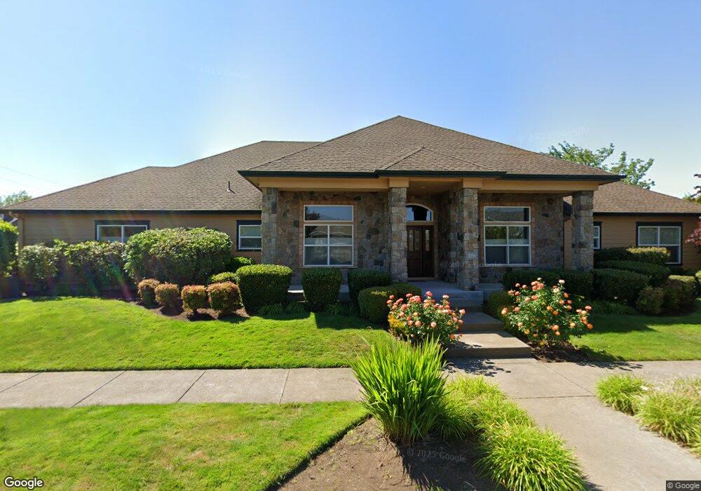
3394 Cooperstown Ave Eugene, OR 97408
Harlow NeighborhoodEstimated Value: $844,000 - $1,162,000
3
Beds
2
Baths
3,235
Sq Ft
$309/Sq Ft
Est. Value
About This Home
This home is located at 3394 Cooperstown Ave, Eugene, OR 97408 and is currently estimated at $998,556, approximately $308 per square foot. 3394 Cooperstown Ave is a home located in Lane County with nearby schools including Gilham Elementary School, Cal Young Middle School, and Sheldon High School.
Ownership History
Date
Name
Owned For
Owner Type
Purchase Details
Closed on
Nov 4, 2021
Sold by
Dardano Michael J
Bought by
Dardano Michael J and Michael J Bardano Living Trust
Current Estimated Value
Purchase Details
Closed on
Jan 25, 2006
Sold by
Anslow & Degeneault Inc
Bought by
Dardano Michael J
Purchase Details
Closed on
Aug 31, 2005
Sold by
Gjs Land Co Llc
Bought by
Anslow & Degeneault Inc
Create a Home Valuation Report for This Property
The Home Valuation Report is an in-depth analysis detailing your home's value as well as a comparison with similar homes in the area
Home Values in the Area
Average Home Value in this Area
Purchase History
| Date | Buyer | Sale Price | Title Company |
|---|---|---|---|
| Dardano Michael J | -- | None Available | |
| Dardano Michael J | $117,500 | Cascade Title Co | |
| Anslow & Degeneault Inc | $105,000 | Cascade Title Co |
Source: Public Records
Tax History
| Year | Tax Paid | Tax Assessment Tax Assessment Total Assessment is a certain percentage of the fair market value that is determined by local assessors to be the total taxable value of land and additions on the property. | Land | Improvement |
|---|---|---|---|---|
| 2025 | $9,855 | $505,820 | -- | -- |
| 2024 | $9,733 | $491,088 | -- | -- |
| 2023 | $9,733 | $476,785 | $0 | $0 |
| 2022 | $9,118 | $462,899 | $0 | $0 |
| 2021 | $8,564 | $449,417 | $0 | $0 |
| 2020 | $8,594 | $436,328 | $0 | $0 |
| 2019 | $8,300 | $423,620 | $0 | $0 |
| 2018 | $7,813 | $399,303 | $0 | $0 |
| 2017 | $7,448 | $399,303 | $0 | $0 |
| 2016 | $7,148 | $387,673 | $0 | $0 |
| 2015 | $6,955 | $376,382 | $0 | $0 |
| 2014 | $6,852 | $365,419 | $0 | $0 |
Source: Public Records
Map
Nearby Homes
- 1794 Kings St N
- 2889 Kinney Loop
- 1993 Best Ln
- 3425 Coburg Rd
- 89805 Sprague Rd
- 1564 Regency Dr
- 2707 Dayna Ln
- 3090 Willakenzie Rd
- 2527 Park View Dr
- 2776 Dayna Ln
- 2611 Erin Way
- 2752 Dayna Ln
- 1491 Victorian Way
- 0 Sprig Ln Unit Lot 3
- 0 Sprig Ln Unit Lot 3 766109892
- 2461 Mountain Terrace
- 2577 Elysium Ave
- 2645 Chuckanut St
- 2915 Chuckanut St
- 2420 Willona Dr
- 2660 Valley Forge Dr
- 2695 Chesapeake Dr
- 2677 Chesapeake Dr
- 3391 Cooperstown Ave
- 2652 Valley Forge Dr
- 2667 Valley Forge Dr
- 3377 Cooperstown Ave
- 2677 Valley Forge Dr
- 2661 Valley Forge Dr
- 2661 Chesapeake Dr
- 2685 Valley Forge Dr
- 2646 Valley Forge Dr
- 2653 Valley Forge Dr
- 2694 Valley Forge Dr
- 2692 Chesapeake Dr
- 3360 Arlington Ave
- 2674 Chesapeake Dr
- 2653 Chesapeake Dr
- 2658 Chesapeake Dr
- 2691 Valley Forge Dr
Your Personal Tour Guide
Ask me questions while you tour the home.