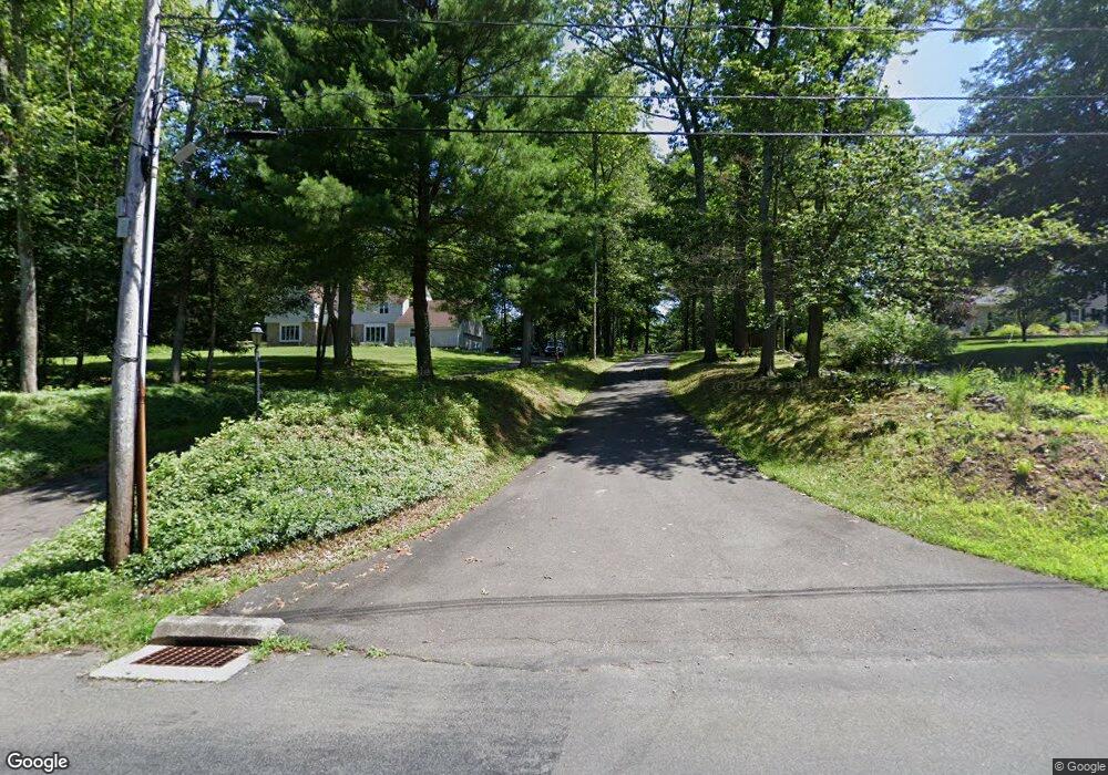
33R Bear Rock Rd Durham, CT 06422
Estimated Value: $552,605 - $738,000
3
Beds
3
Baths
2,181
Sq Ft
$298/Sq Ft
Est. Value
About This Home
This home is located at 33R Bear Rock Rd, Durham, CT 06422 and is currently estimated at $649,401, approximately $297 per square foot. 33R Bear Rock Rd is a home located in Middlesex County with nearby schools including Frank Ward Strong School and Coginchaug Regional High School.
Ownership History
Date
Name
Owned For
Owner Type
Purchase Details
Closed on
Jun 28, 2016
Sold by
Stewart Todd
Bought by
Kobus Pawel J and Kobus Emilia
Current Estimated Value
Home Financials for this Owner
Home Financials are based on the most recent Mortgage that was taken out on this home.
Original Mortgage
$252,370
Outstanding Balance
$201,402
Interest Rate
3.57%
Mortgage Type
Purchase Money Mortgage
Estimated Equity
$447,999
Purchase Details
Closed on
Jun 27, 2001
Sold by
Old Blue Hills Assoc
Bought by
Stewart Todd and Stewart Elizabeth
Create a Home Valuation Report for This Property
The Home Valuation Report is an in-depth analysis detailing your home's value as well as a comparison with similar homes in the area
Home Values in the Area
Average Home Value in this Area
Purchase History
| Date | Buyer | Sale Price | Title Company |
|---|---|---|---|
| Kobus Pawel J | $378,000 | -- | |
| Stewart Todd | $95,000 | -- |
Source: Public Records
Mortgage History
| Date | Status | Borrower | Loan Amount |
|---|---|---|---|
| Open | Kobus Pawel J | $252,370 | |
| Previous Owner | Stewart Todd | $385,800 | |
| Previous Owner | Stewart Todd | $380,800 | |
| Previous Owner | Stewart Todd | $354,600 |
Source: Public Records
Tax History
| Year | Tax Paid | Tax Assessment Tax Assessment Total Assessment is a certain percentage of the fair market value that is determined by local assessors to be the total taxable value of land and additions on the property. | Land | Improvement |
|---|---|---|---|---|
| 2025 | $8,456 | $226,170 | $88,970 | $137,200 |
| 2024 | $8,074 | $226,170 | $88,970 | $137,200 |
| 2023 | $7,866 | $226,170 | $88,970 | $137,200 |
| 2022 | $7,819 | $226,170 | $88,970 | $137,200 |
| 2021 | $8,043 | $226,170 | $88,970 | $137,200 |
| 2020 | $8,871 | $247,940 | $92,470 | $155,470 |
| 2019 | $8,899 | $247,940 | $92,470 | $155,470 |
| 2018 | $6,570 | $247,940 | $92,470 | $155,470 |
| 2017 | $9,794 | $247,940 | $92,470 | $155,470 |
| 2016 | $8,755 | $247,940 | $92,470 | $155,470 |
| 2015 | $9,686 | $287,070 | $123,340 | $163,730 |
| 2014 | $9,536 | $287,070 | $123,340 | $163,730 |
Source: Public Records
Map
Nearby Homes
- 42 Pine Ledge Trail
- 204 Old Blue Hills Rd
- 36 Maiden Ln
- 268 Main St
- 2 Stone Bridge Dr Unit Lot 2
- 148 Wallingford Rd
- 153 Wallingford Rd
- 25 Route 79
- 74R Stone Bridge Dr
- 0 Dinatale Dr
- 18 Talcott Ridge Dr
- 0 Round Hill Lot 17 Rd
- 523 Chamberlain Hill Rd
- 26 Old Wallingford Rd
- 148 & 153 Wallingford Rd
- 15r Clark Rd
- 215 Chamberlain Hill Rd
- 3 Copley Rd
- Lot 2 Coleman Rd
- 44 Chamberlain Hill Rd
- 33 Bear Rock Rd
- 31R Bear Rock Rd
- 31 Bear Rock Rd
- 35 Bear Rock Rd
- 23 Bear Rock Rd
- 348 Higganum Rd
- 348R Higganum Rd
- 11 Bear Rock Rd
- 362 Higganum Rd
- 361 Higganum Rd
- 384 Higganum Rd
- 371 Higganum Rd
- 337 Higganum Rd
- 16 Harvey Rd
- 0 Harvey Rd Unit N294166
- 0 Harvey Rd Unit N294165
- 0 Harvey Rd Unit N310920
- 0 Harvey Rd Unit N318642
- 0 Harvey Rd
- 56R Harvey Rd
Your Personal Tour Guide
Ask me questions while you tour the home.