34 Curtis Ln Edgartown, MA 02539
Edgartown NeighborhoodEstimated Value: $840,000 - $1,339,000
1
Bed
1
Bath
448
Sq Ft
$2,487/Sq Ft
Est. Value
About This Home
This home is located at 34 Curtis Ln, Edgartown, MA 02539 and is currently estimated at $1,113,979, approximately $2,486 per square foot. 34 Curtis Ln is a home located in Dukes County with nearby schools including Edgartown Elementary School and Martha's Vineyard Regional High School.
Ownership History
Date
Name
Owned For
Owner Type
Purchase Details
Closed on
Feb 26, 2016
Sold by
Norden Peter L and Norden Gail C
Bought by
Gail C Norden T and Norden Gail C
Current Estimated Value
Purchase Details
Closed on
Oct 7, 1985
Bought by
Gail C Norden T
Create a Home Valuation Report for This Property
The Home Valuation Report is an in-depth analysis detailing your home's value as well as a comparison with similar homes in the area
Home Values in the Area
Average Home Value in this Area
Purchase History
| Date | Buyer | Sale Price | Title Company |
|---|---|---|---|
| Gail C Norden T | -- | -- | |
| Gail C Norden T | $64,000 | -- |
Source: Public Records
Mortgage History
| Date | Status | Borrower | Loan Amount |
|---|---|---|---|
| Previous Owner | Gail C Norden T | $52,000 |
Source: Public Records
Tax History Compared to Growth
Tax History
| Year | Tax Paid | Tax Assessment Tax Assessment Total Assessment is a certain percentage of the fair market value that is determined by local assessors to be the total taxable value of land and additions on the property. | Land | Improvement |
|---|---|---|---|---|
| 2025 | $2,039 | $769,400 | $644,800 | $124,600 |
| 2024 | $1,962 | $769,400 | $644,800 | $124,600 |
| 2023 | $1,976 | $784,000 | $654,100 | $129,900 |
| 2022 | $1,808 | $596,700 | $520,600 | $76,100 |
| 2021 | $1,627 | $496,100 | $449,000 | $47,100 |
| 2020 | $1,540 | $459,700 | $412,600 | $47,100 |
| 2019 | $1,742 | $450,200 | $400,500 | $49,700 |
| 2018 | $1,508 | $389,700 | $355,600 | $34,100 |
| 2017 | $1,455 | $409,800 | $379,300 | $30,500 |
| 2016 | $1,335 | $368,900 | $343,700 | $25,200 |
| 2015 | $1,156 | $333,000 | $304,300 | $28,700 |
Source: Public Records
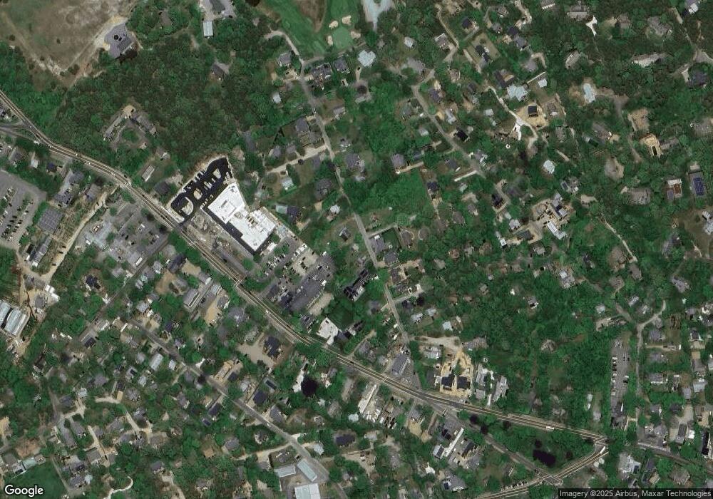
Map
Nearby Homes
- 7 Clark Dr
- 26 Curtis Ln
- 76 Norton Orchard Rd
- 2 Orchard Ln
- 23 Pinehurst Rd
- 48 W Tisbury Rd
- 48 Edgartown - West Tisbury Rd
- 10 Tilton Way
- 10 Peases Point Way N
- 10 Dory Cir
- 14 Trapps Pond Rd
- 43 Peases Point Way S
- 11 Norton St
- 5 Louis Field Rd
- 5 Louis Field Rd Unit 121.3
- 1 Louis Field Rd
- 69 School St
- 52 S Summer St
- 62 N Summer St
- 8 High St
- 30 Curtis Ln
- 40 Curtis Ln
- 29 Curtis Ln
- 27 Curtis Ln
- 44 Curtis Ln
- 25 Curtis Ln
- 6 Mayfield Ln
- 21 Curtis Lane ( Guest House)
- 22 Curtis Ln
- 39 Curtis Ln
- 21 Curtis Ln
- 10 Mayfield Ln
- 10 Mayfield Way
- 219 Upper Main St
- 46 Curtis Ln
- 45 Curtis Ln
- 17 Curtis Ln
- 223 Upper Main St Unit 1
- 223 Upper Main St Unit 3
- 223 Upper Main St