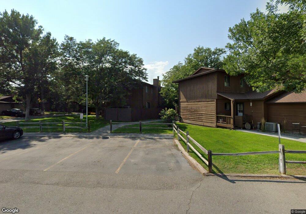
3400 Canyon Dr Billings, MT 59102
West End NeighborhoodEstimated Value: $224,000 - $238,000
2
Beds
2
Baths
1,082
Sq Ft
$212/Sq Ft
Est. Value
About This Home
This home is located at 3400 Canyon Dr, Billings, MT 59102 and is currently estimated at $229,568, approximately $212 per square foot. 3400 Canyon Dr is a home located in Yellowstone County with nearby schools including Big Sky Elementary School, Ben Steele Middle School, and Billings West High School.
Ownership History
Date
Name
Owned For
Owner Type
Purchase Details
Closed on
Aug 2, 2021
Sold by
Cichosz Scott
Bought by
Bobcat Holdings Llc
Current Estimated Value
Purchase Details
Closed on
May 3, 2021
Sold by
Anderson Bonnie Ann
Bought by
Shumway Charles Quinn
Home Financials for this Owner
Home Financials are based on the most recent Mortgage that was taken out on this home.
Original Mortgage
$132,800
Interest Rate
3.1%
Mortgage Type
New Conventional
Purchase Details
Closed on
Jun 21, 2013
Sold by
Simon Mary Rose
Bought by
Anderson Bonnie Ann
Home Financials for this Owner
Home Financials are based on the most recent Mortgage that was taken out on this home.
Original Mortgage
$105,311
Interest Rate
2.75%
Mortgage Type
FHA
Create a Home Valuation Report for This Property
The Home Valuation Report is an in-depth analysis detailing your home's value as well as a comparison with similar homes in the area
Home Values in the Area
Average Home Value in this Area
Purchase History
| Date | Buyer | Sale Price | Title Company |
|---|---|---|---|
| Bobcat Holdings Llc | -- | Accommodation | |
| Shumway Charles Quinn | -- | First Montana Title Company | |
| Anderson Bonnie Ann | -- | Chicago Title |
Source: Public Records
Mortgage History
| Date | Status | Borrower | Loan Amount |
|---|---|---|---|
| Closed | Shumway Charles Quinn | $331,750 | |
| Previous Owner | Shumway Charles Quinn | $132,800 | |
| Previous Owner | Anderson Bonnie Ann | $105,311 |
Source: Public Records
Tax History Compared to Growth
Tax History
| Year | Tax Paid | Tax Assessment Tax Assessment Total Assessment is a certain percentage of the fair market value that is determined by local assessors to be the total taxable value of land and additions on the property. | Land | Improvement |
|---|---|---|---|---|
| 2024 | $1,772 | $187,600 | $19,076 | $168,524 |
| 2023 | $1,776 | $187,600 | $19,076 | $168,524 |
| 2022 | $1,358 | $143,800 | $0 | $0 |
| 2021 | $1,495 | $143,800 | $0 | $0 |
| 2020 | $1,428 | $130,900 | $0 | $0 |
| 2019 | $1,362 | $130,900 | $0 | $0 |
| 2018 | $1,381 | $130,700 | $0 | $0 |
| 2017 | $1,342 | $130,700 | $0 | $0 |
| 2016 | $1,274 | $125,500 | $0 | $0 |
| 2015 | $1,246 | $125,500 | $0 | $0 |
| 2014 | $1,152 | $61,586 | $0 | $0 |
Source: Public Records
Map
Nearby Homes
- 512 Wheatstone Dr S
- 3390 Canyon Dr Unit C19
- 3481 Canyon Dr
- 3419 Barley Cir
- 456 Blossom Place
- 3442 Windmill Cir
- 3321 Barley Cir
- 3385 Granger Ave S Unit 4
- 3385 Granger Ave S Unit 24, 26, 27
- 3385 Granger Ave S Unit 27
- 3385 Granger Ave S Unit 26
- 3385 Granger Ave S Unit 24
- 3440 Granger Ave S Unit 37
- 3419 Tahoe Dr
- 475 S 37th St W
- 31 W Meadow Dr
- 3340 Tahoe Dr
- 26 W Meadow Dr
- 6 Northglen Dr
- 8 Redrock Dr